Using Polar Hyperspectral Model forecasts of CAPE with a sea breeze front

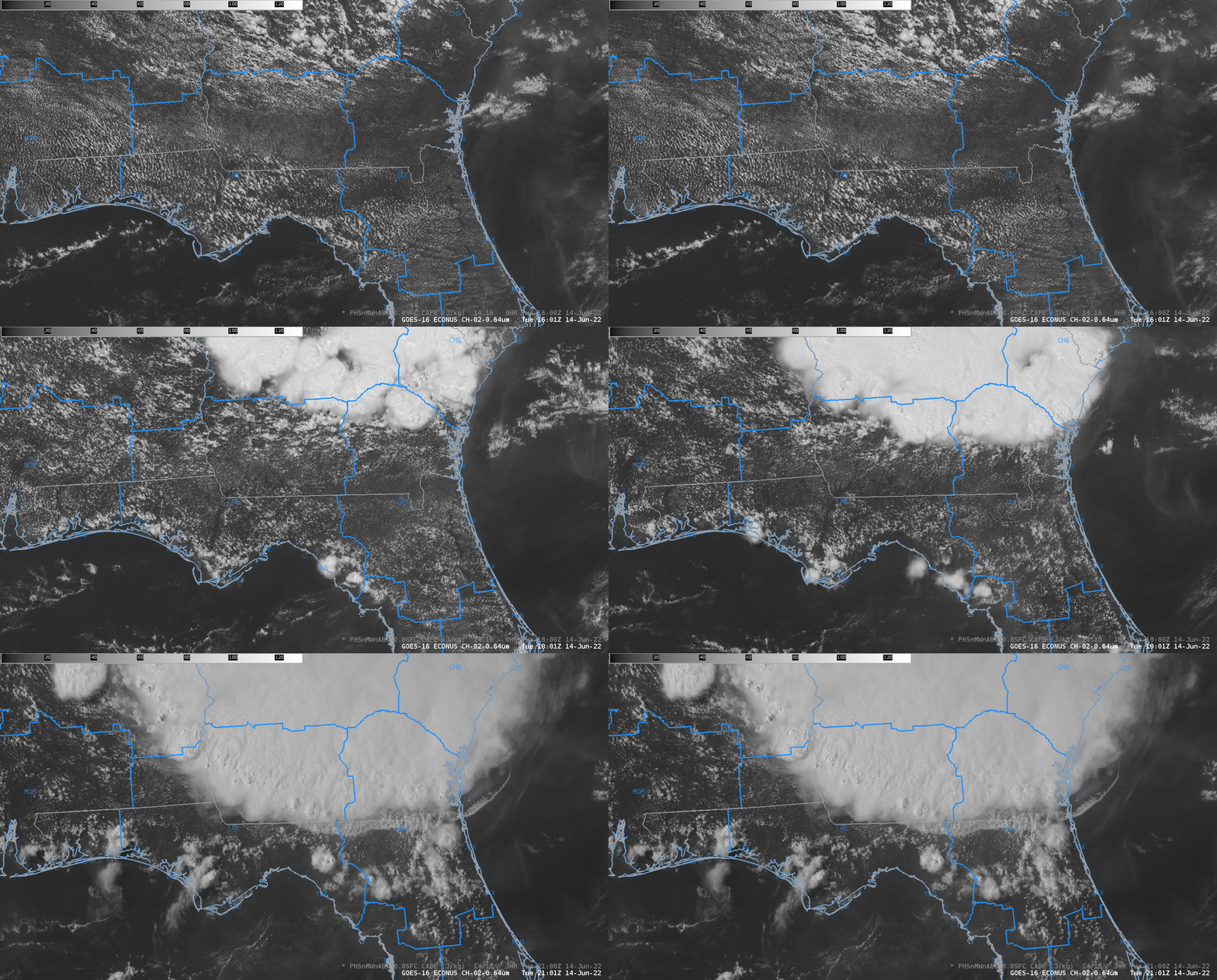
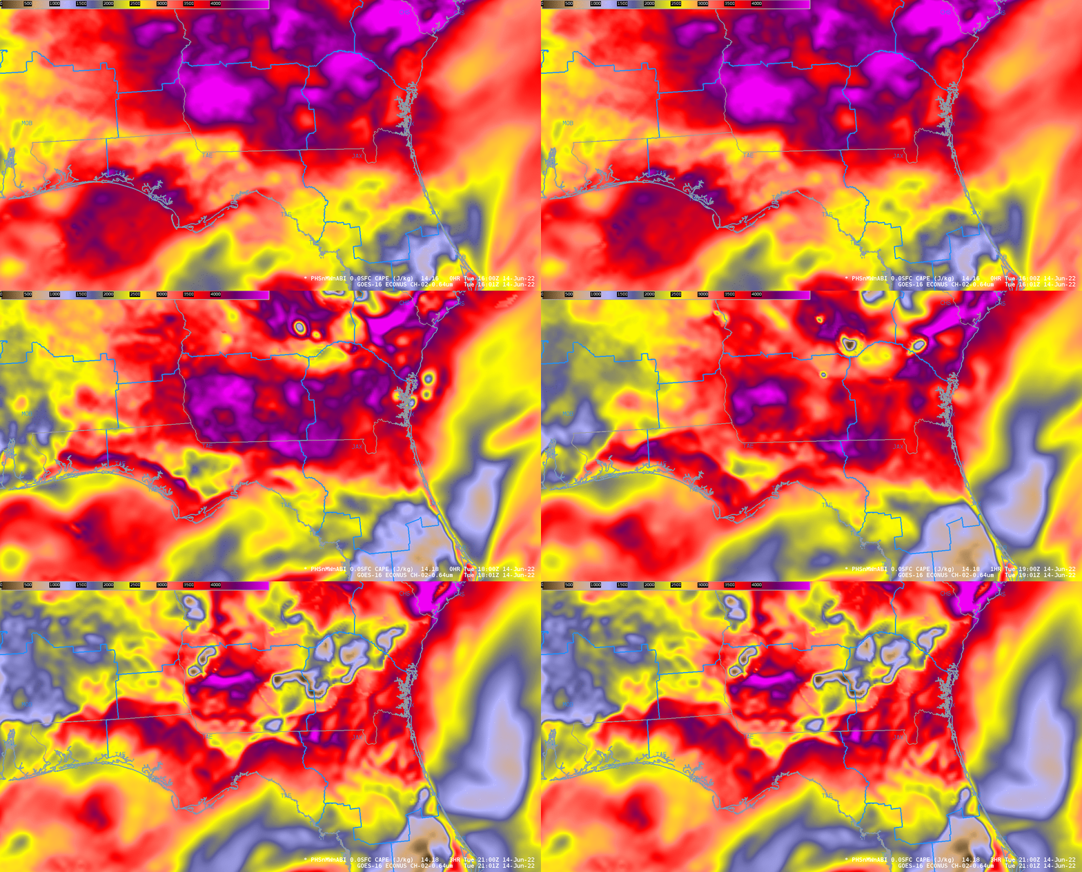
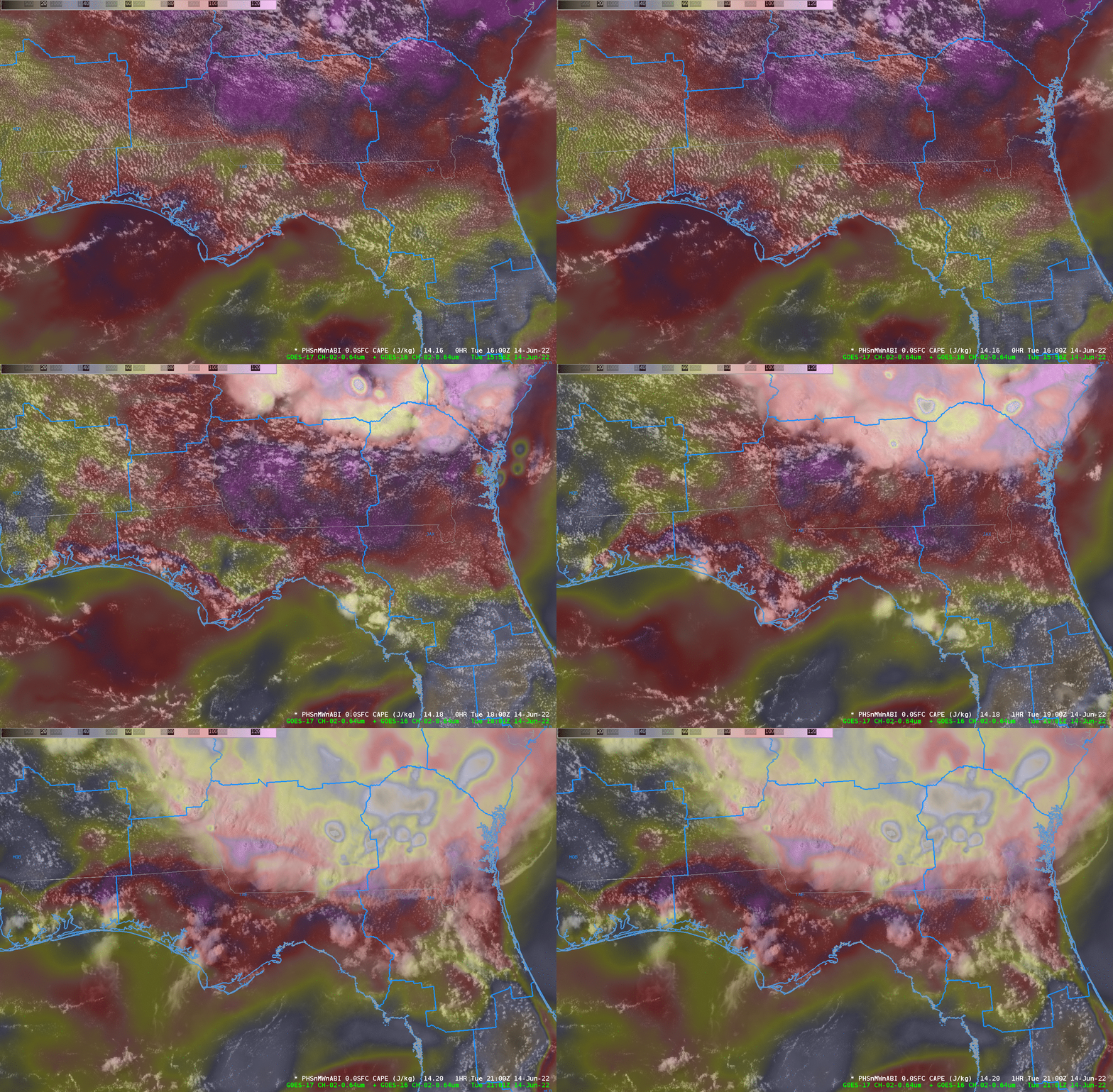
One the forecast offices selected on 14 June 2022 in the Hazardous Weather Testbed was Tallahassee (WFO TAE). The animation above shows the evolution of a seabreeze front that moves slowly northward (as a mesoscale complex, part of a system that produced widespread wind damage earlier in the day (storm reports from 13 June and 14 June), moves southward). Convection develops along the sea breeze front. The animation of Convective Available Potential Energy (CAPE), below, from the Polar Hyperspectral Modeling System, shows a local maximum of CAPE along the coast initially; it then propagates inland with time. The 1- and 2-h forecasts predict with accuracy where the CAPE associated with the sea breeze front will be. That’s perhaps easier to view in the animation at the bottom that has the model CAPE field semi-transparent on top of the visible (0.64 µm) imagery.


Additional Hazardous Weather Testbed blog posts can be found here. The third and final week of HWT concludes on Friday the 17th.

