Lake Effect snow over Chicago
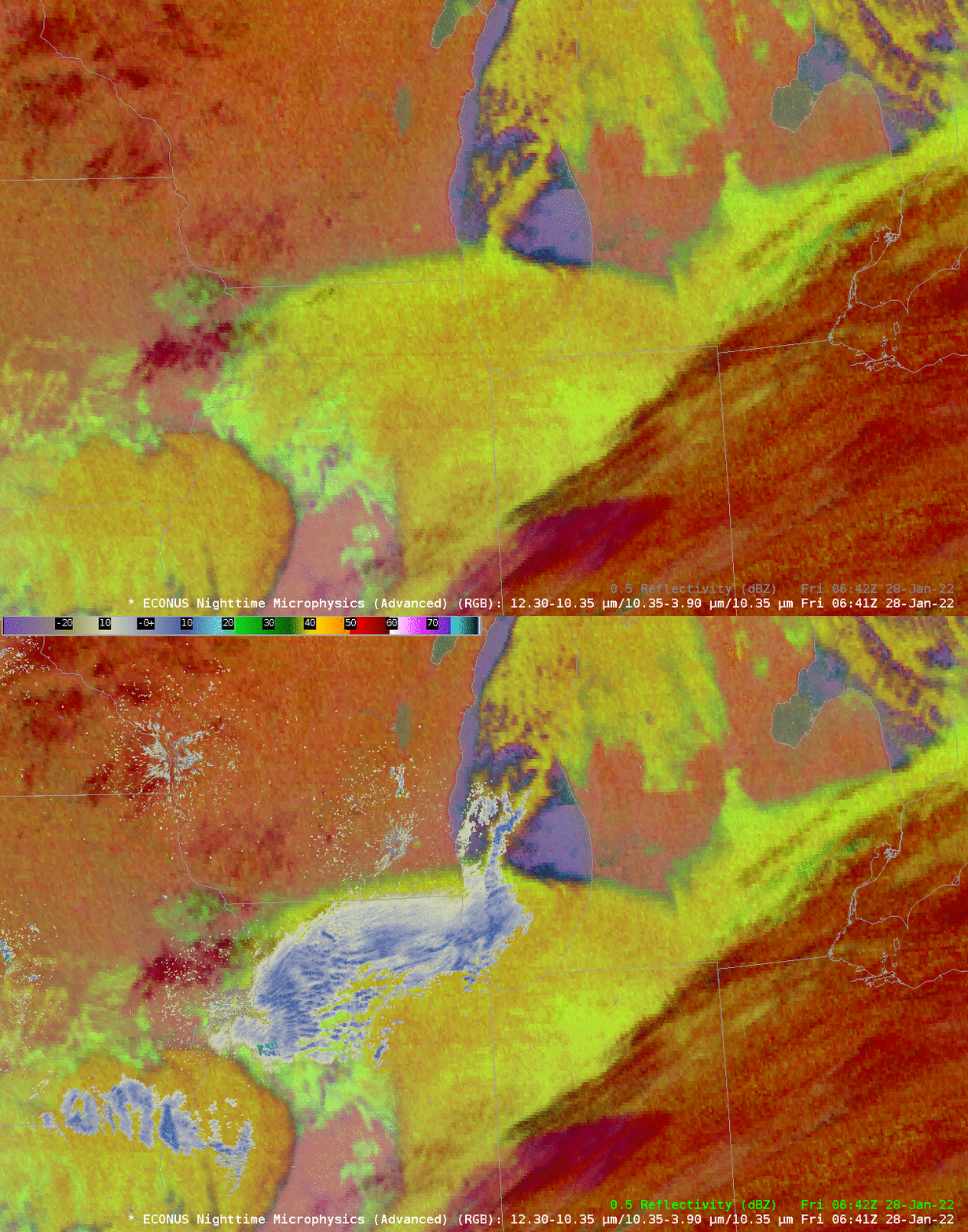
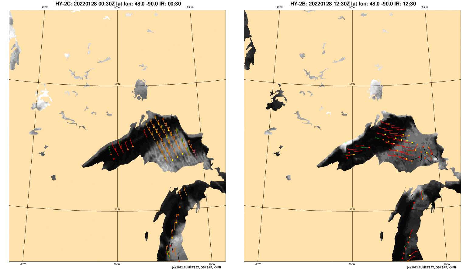
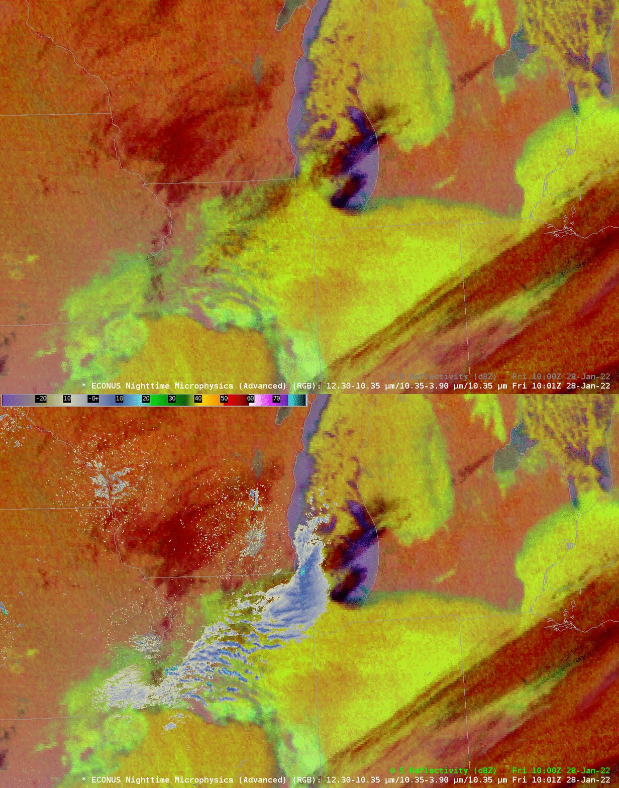
Lake Effect snow moved over Chicago on 28 January 2022. Along-lake winds, as shown below in scatterometry from this site, produced a single snow band that released on Chicago. The image above shows Nighttime microphysics with and without radar displayed. Once the relationship between the radar and the RGB is established, it is not difficult to monitor the stationarity of the band.
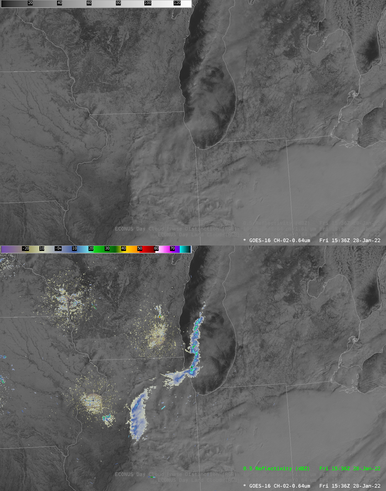
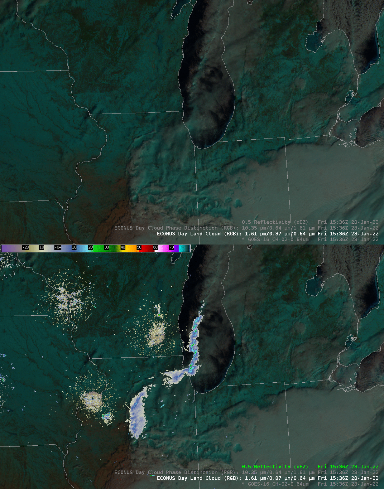
After sunrise, other ABI bands are available to highlight precipitating lake-effect snowbands. RGB combinations that include Band 5 (1.6 µm) are of particular use because they can highlight glaciation in the cloud. Consider the examples below showing two RGBs and visible imagery with and without radar overlain. Which one would you choose and use to highlight the precipitating snow band? Will that choice change with sun angle, do you think?
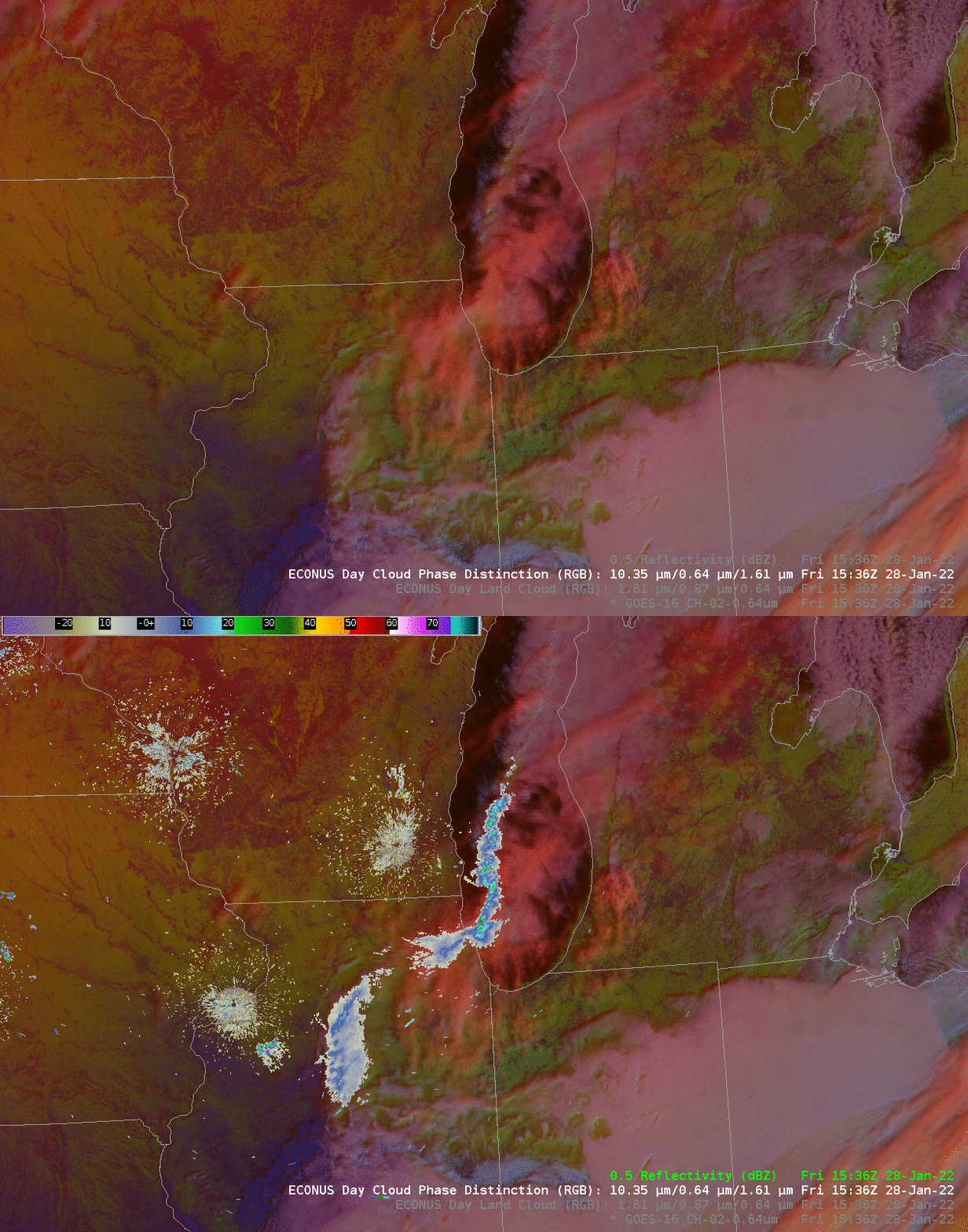
The Day Cloud Phase Distinction RGB, below, animated from 1426 to 1921 UTC (click here to see the animation without observations), highlights the narrow nature of the band as it moves inland over Chicago.
