Gridded NUCAPS in AWIPS, part II

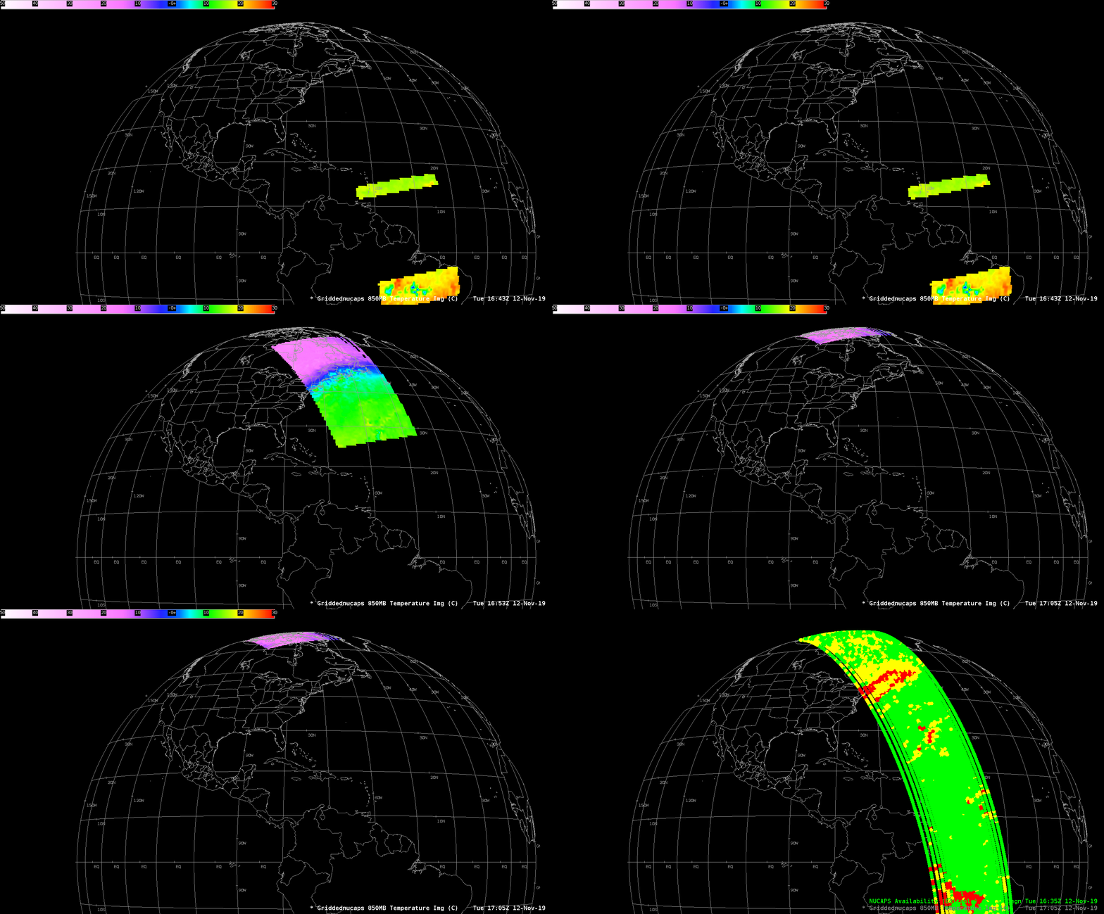
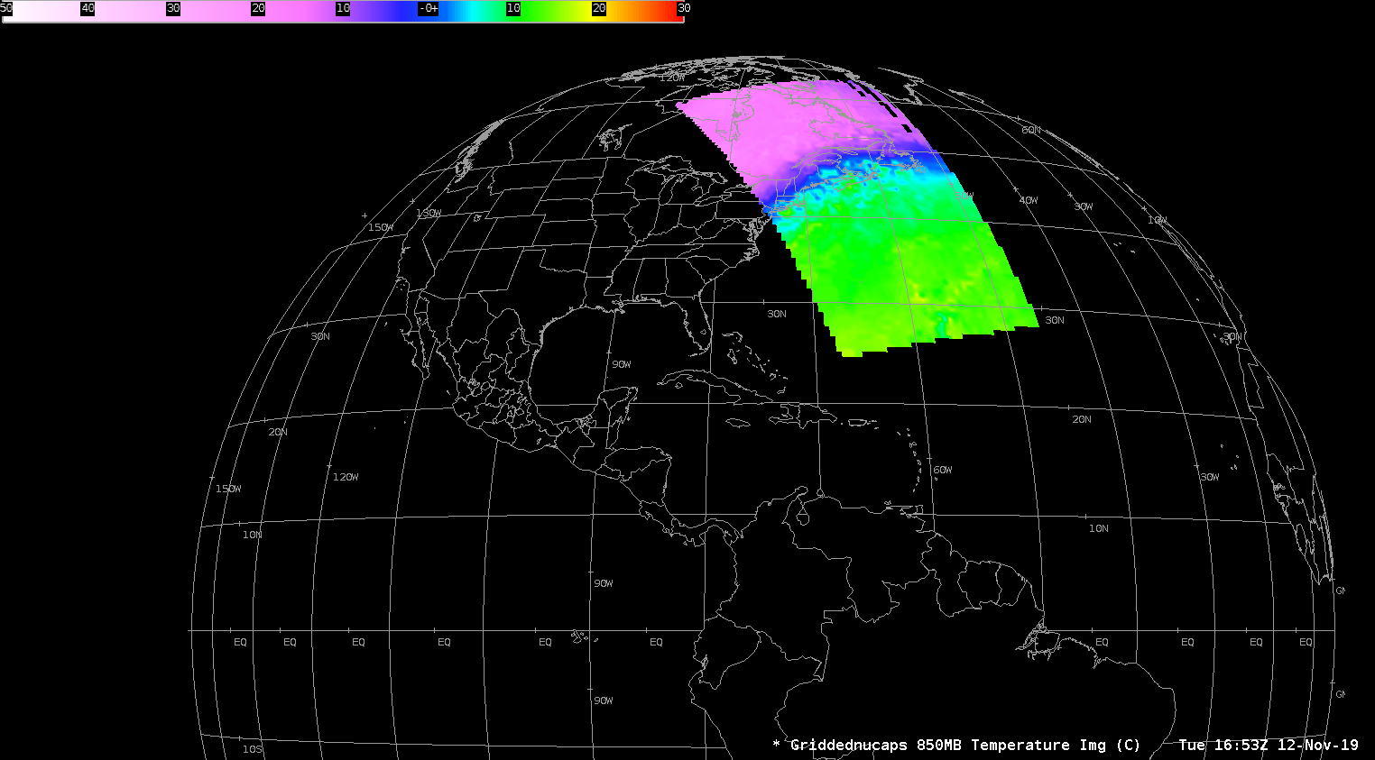
NUCAPS horizontal plots of 850-hPa temperature, 1643-1705 UTC on 12 November 2019, and the NUCAPS Sounding Availability plots (Click to enlarge)
As noted in this post from October, horizontal fields of thermodynamic variables that have been derived from NUCAPS vertical profiles are now available in AWIPS. The fields give a swath of observations derived from infrared and microwave sounders in regions of the troposphere where observations by Radiosondes happen only occasionally. In this case, NUCAPS observed the strong cold front moving southward into the north Atlantic. Temperatures over eastern Canada at 850 hPa were in the teens below 0 Celsius, and in the teens (Celsius) out over the Atlantic.
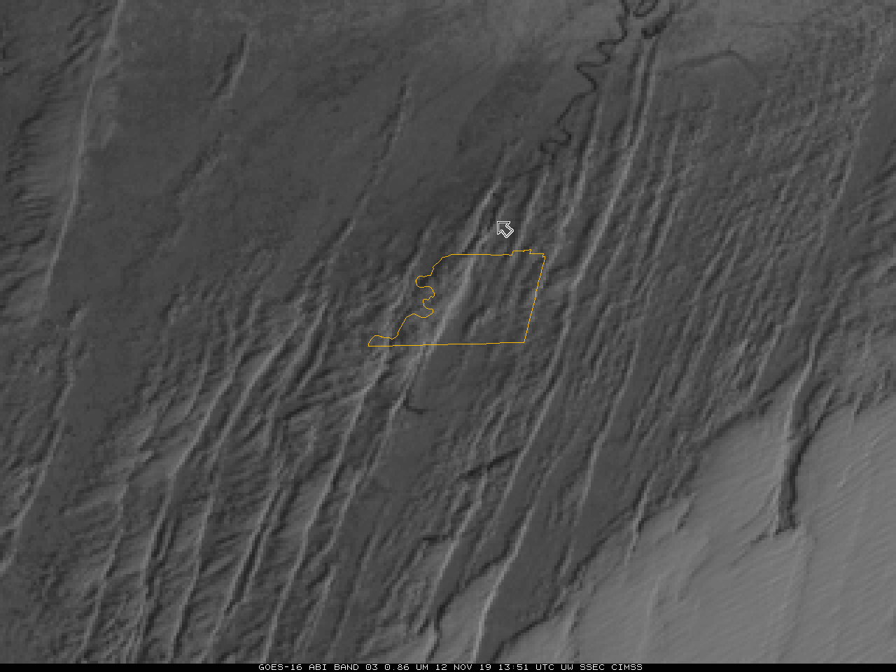
Lower-tropospheric temperatures are an important variable to know when early-season cold airmasses are cold enough that the temperature difference between 850 hPa and surface water bodies — such as rivers and lakes — is sufficient to support Lake (or River) Effect clouds and precipitation. River-effect flurries hit mid-town Memphis on the 12th of November, and the 0.86 “Veggie” image (0.86 µm, this wavelength was chosen because land/water contrasts are large in it) image, below, shows a band extending from the Mississippi River in northwest Tennessee southward into central Memphis. NUCAPS data at 850 on this day showed 850-mb temperatures around -10 C at 0900 UTC.


