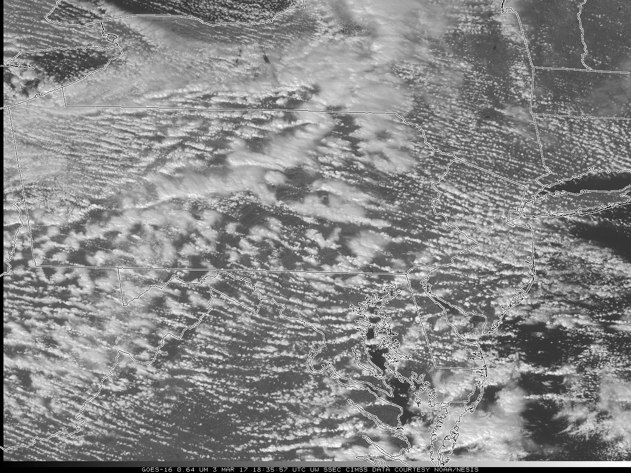
Nowcasting Snow Squalls with GOES-16 Mesoscale Sectors

GOES-16 Visible (0.64 µm) Imagery, every minute from 1427-2000 UTC on 3 March 2017 (Click to play mp4 animation)
Note: GOES-16 data shown on this page are preliminary, non-operational data and are undergoing on-orbit testing.
Heavy snow squalls led to multiple vehicle crashes that shut down both I-80 and I-99 in central Pennsylvania on Friday 3 March (link 1 | link 2). A Mesoscale sector over Pennsylvania today provided 1-minute imagery, enabling forecasters to view the event as it happened (Click image above for an mp4 animation, or here for a 300-megabyte animated gif). The excellent temporal sampling of the mesoscale sectors — which data typically shows up in AWIPS within two minutes — is key to monitoring the progression of the snow bands across Pennsylvania. ‘Clean Infrared Window’ (that is, 10.3 µm) animations for this event are available here (mp4, animated gif). These infrared animations end at 1845 UTC. Note that State College PA (KUNV) had 1/8th mile visibility in snow at 1835 UTC. DuBois (KDUJ) had 1/4-mile visibility at the start of both animations.
CIRA also has animations of this event: (mp4, animated gif).

