Learn more about hurricanes and other storms by working through the following activities:
 1. Hurricane Frances
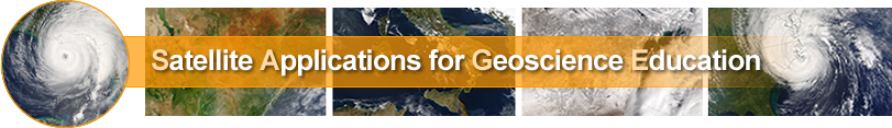
Satellites can generate imagery at 1-minute intervals to study weather features such as the eye of a hurricane. This loop from 2004 follows the eye of Hurricane Frances for about an hour on August 31st. Some "minutes" are missing in this animation but it is still very cool to watch.
Click on the image to the right to begin the activity.
 4. The Hurricane teaching and learning applet
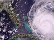
Click on the picture to the right to learn more about Hurricanes and sea surface temperatures.
 3. Overshooting Tops
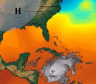
Strong thunderstorms frequently have overshooting tops easy to depict on visible and IR imagery.
Click on the picture to the right to view an animation showing vigorous thuderstorm activity on visible satellite images.
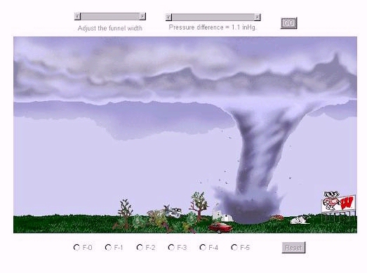 4. The Tornado teaching and learning applet - educational and fun!
Click on the picture to the right to learn about the realtionship between tornado size, wind speed and damage.