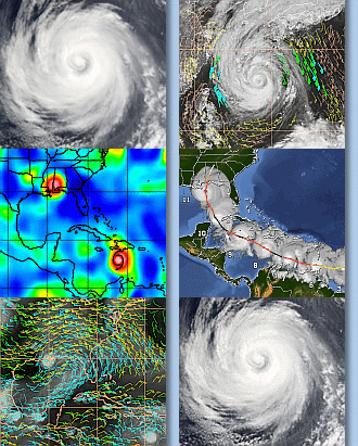
Tropical Storm Hagupit is born!
On 12Z the JTWC analyzed Hagupit at 14.0N 133.0E moving 265 degrees at 11 kts, with sustained winds of 40kts, gusts to 50 kts.
Tha 08Z AMSU detected an intensity of 42 kts (the satcon assigned it to 40 kts). The 17:30Z ADT gave it a CI of 3.1, corresponding to 47 kts. Presumably a future AMSU pass will give it a higher satcon intensity.
The mimic animation, shown below is interesting:
As the animation shows, the convection seems to be developing on the southwest side of Hagupit. Although it’s development is slow, the convection is becoming more widespread.
The attached IR image and ASCAT analysis shows a definitive closed circulation:

MTSAT IR image and ASCAT surface analysis for Hagupit. The analysis confirms a closed surface circulation.
The shear has lightened up slightly over the storm’s center, probably precipitating some of the recent intensification. But, it is still limiting development to it’s southern side, as seen in the divergence and shear plots shown below:
So what is in Hagupit’s future?
JTWC has it intensifying steadily throughout the forecast period, bringing it to 105 kts by 12Z on the 24th.
Their track, and various model tracks are shown with the IR image below:
The models are in reasonably agreement through 36 hours, bringing it steadily northwestward. After that, they begin to diverge. The NOGAPS model recurves Hagupit, bringing it east of Taiwan and up toward Okinawa. The Met Office model and ECMWF take it just north of the Phillipeans and then west into China. The GFS takes the middle course, bringing Hagupit across Taiwan and into the Chinese mainland much farther north.
The track seems to depend on an upper-level trough and ridge to Hagupit’s north by about 00Z on the 22nd. The Met Office and ECWMF place Hagupit west of the trough, and under the control of an upper level ridge over China. The NOGAPS model moves the trough just to the west of Hagupit. The ridge over China is farther to the west than the Met Office and ECWMF, causing the storm to recurve between the trough and the subtropical ridge to its east. The GFS has Hagupit nearly direcly under the trough, almost equi-distance between the two ridges. This is definitely the storm to watch, and may be a potential future flight.
Links to 200 hPa streamlines:


