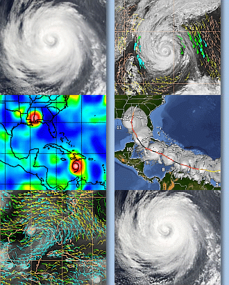
Hagupit: 12Z September, 22, 2008
From JTWC as of 1200 Hagupit is near 19.5N 120.9E, moving 280 degrees at 11 KTS. It’s at 100 kt gusts to 125 kts. The satcon intensity estimate is attached below:
As you can see Hagupit has been intensifying steadily over the past few days. The ADT seems to be above the JTWC, possibly due to the well developed eye and structure. When the next AMSU pass comes through, perhaps SATCON will catch up. Unfortunately, there will no aircraft penetration for this storm due to some mechanical problems. Perhaps some of the surface obs and buoys will give some clues.
The attached MIMIC animation shows how the convection has been organizing over the past few days as Hagupit moved north past the Phillipeans:
Hagupit is in a region of low shear and reasonable outflow to the west. It is forecasted to weaken slightly before landfall (about 00Z on the 24th) as seen in the JTWC forecast graphic.
The attached IR image and upper-level AMVs shown below show the strong, but focused outflow to the west:
According to JTWC, the strong ridge to Hagupit’s north has restricted some northerly outflow. One can’t see a strong anti-cyclone over or just outside of the storm.
The models are in fairly good agreement with the track, bringing it just south of Hong Kong by about 00Z on the 24th. There is a little variation: NOGAPS is a bit to the east of the suite of other models.
It’s under fairly weak shear now. JTWC is expecting the shear to increase slightly, thus causing its slight weakening before landfall.


