
| The instruments that measure electromagnetic energy are called radiometers. In this section we'll focus on two kinds
of radiometers: imagers and sounders.
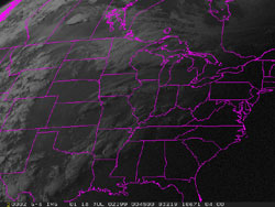
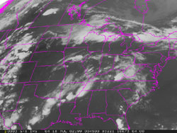
Imagers Contrary to a common conception, there are no cameras on satellites. Two main types of imagers are utilized in satellite meteorology. One measures the amount of visible light from the sun reflected back to space by the Earth's surface or by clouds. The second measures the amount of radiation emitted by these entities. Data from these radiometers are transmitted to earth where visible and infrared (IR) images are produced by computers. Usually, these images are "loop animated" to show the progression and movement of storms. Visible images are the same thing we would see with our naked eye and require daylight. Infrared images depend on the amount of radiation an object emits. The obvious advantage to having infrared capability is that weather systems can be monitored both day and night. Below are samples of an infrared image and a visible image. You'll learn more about these types of images in a later module.
|