| POES Images
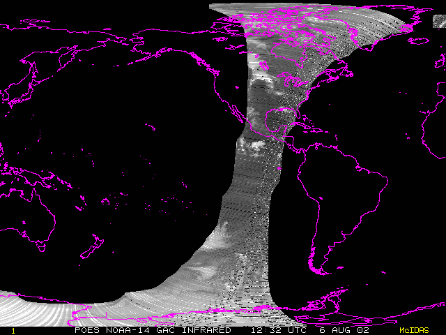
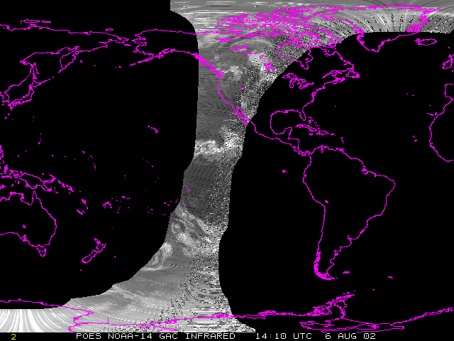
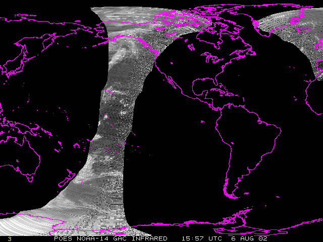
Polar orbiters observe a swath of the earth each orbit around the Earth. To get a larger view of the weather, we need to combine these swaths. Below are examples of infrared image swaths from the POES satellite.
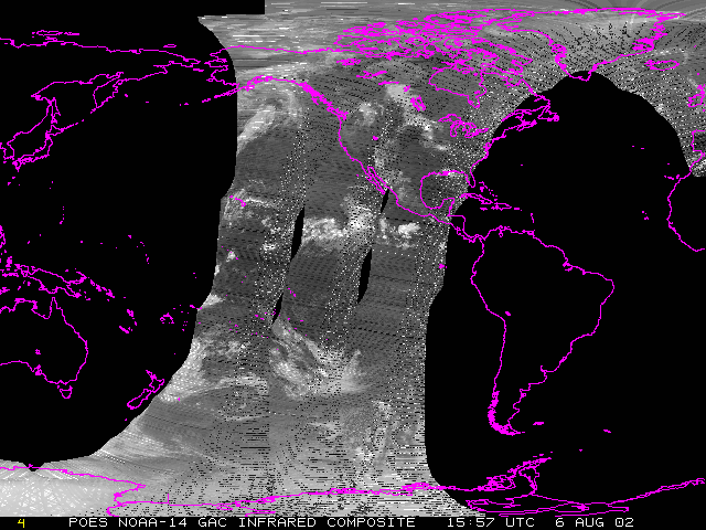
But wait, there's more... These three images can be combined to create a composite image.
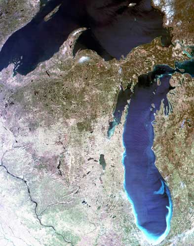
Here's another image from a polar orbiting satellite called MODIS,
satellite images don't always have to be black and white...
 |
In a later module devoted entirely to satellite images, we'll focus more on the details of what these visible
and infrared images can show us. We'll even introduce you to another type of image... the water vapor image.
But before we get too far ahead of ourselves, let's take a look at some of the basic math and physics concepts behind
satellite technology.
|
|