
| GOES Images
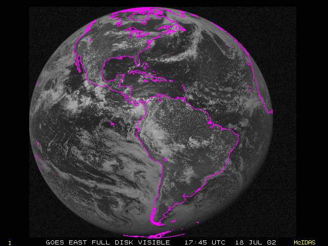
An advantage of GOES is that it provides a view of the weather over a hemisphere. Below is a GOES view of the Western Hemisphere at 17:45 UTC on 18 July 2002. (Need an explanation of Standard (UTC) Time?) GOES satellite provide visible and infrared images. Below is an animation fades between two images from the GOES satellite, both showing the same geographical area from the same time on 26 September 2002 (near sunset). When you scroll to the left (the default position), you'll see a visible image and when you scroll to the right, you'll see an infrared image.
Continue to the next page
go back to the previous page |