Starting Date [Julian Day]
(Day of Week)
|
Test Schedule Name |
Duration |
Center Point (coverage) |
Comments |
Links (large files) |
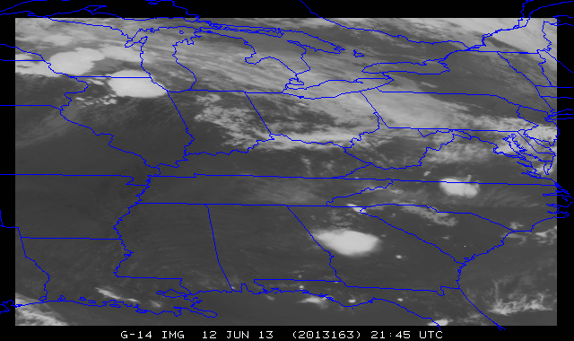
June 12 [163]
(Wednesday) |
SRSOR |
163/ 16:14:30 UTC - 164/ 11:44:30 UTC |
37N 85W |
Moderate Risk over IL, IN, OH |
IL IL (HD) MidWest (YouTube) GA GA (HD) Blog: IL |
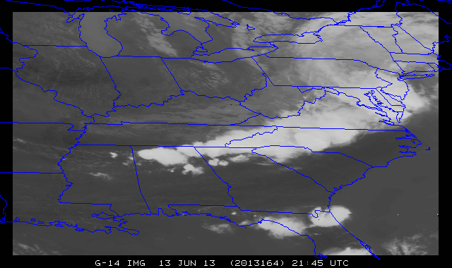
June 13 [164]
(Thursday) |
SRSOR |
164/ 11:44:30 UTC - 165/ 12:14:30 UTC |
36N 84W |
Moderate Risk over MD, DE, etc. |
KY VA MidAtlantic (YouTube) Blog: Eastern US MidAtlantic (YouTube) SRSOR+DCLMA |
|
|
August 13 [225]
(Tuesday) |
SRSOR (no FD) |
225/ 11:14:30 UTC - 226/ 11:14:00 UTC |
39N 115W |
Pacific NW fires, etc. |
Blog:ID pyroCB over Idaho GOES-14 vs GOES-15 over Montana
|
August 14 [226]
(Wednesday) |
SRSOR (no FD) |
226/ 11:14:30 UTC - 227/ 11:14:00 UTC |
37N 85W |
SE. GOES-14 E/W maneuver approx. 1220-1230 UTC |
Fog in WV GOES-14 Fog in WI SRSOR + Roof Top Cameras over Madison, WI
|
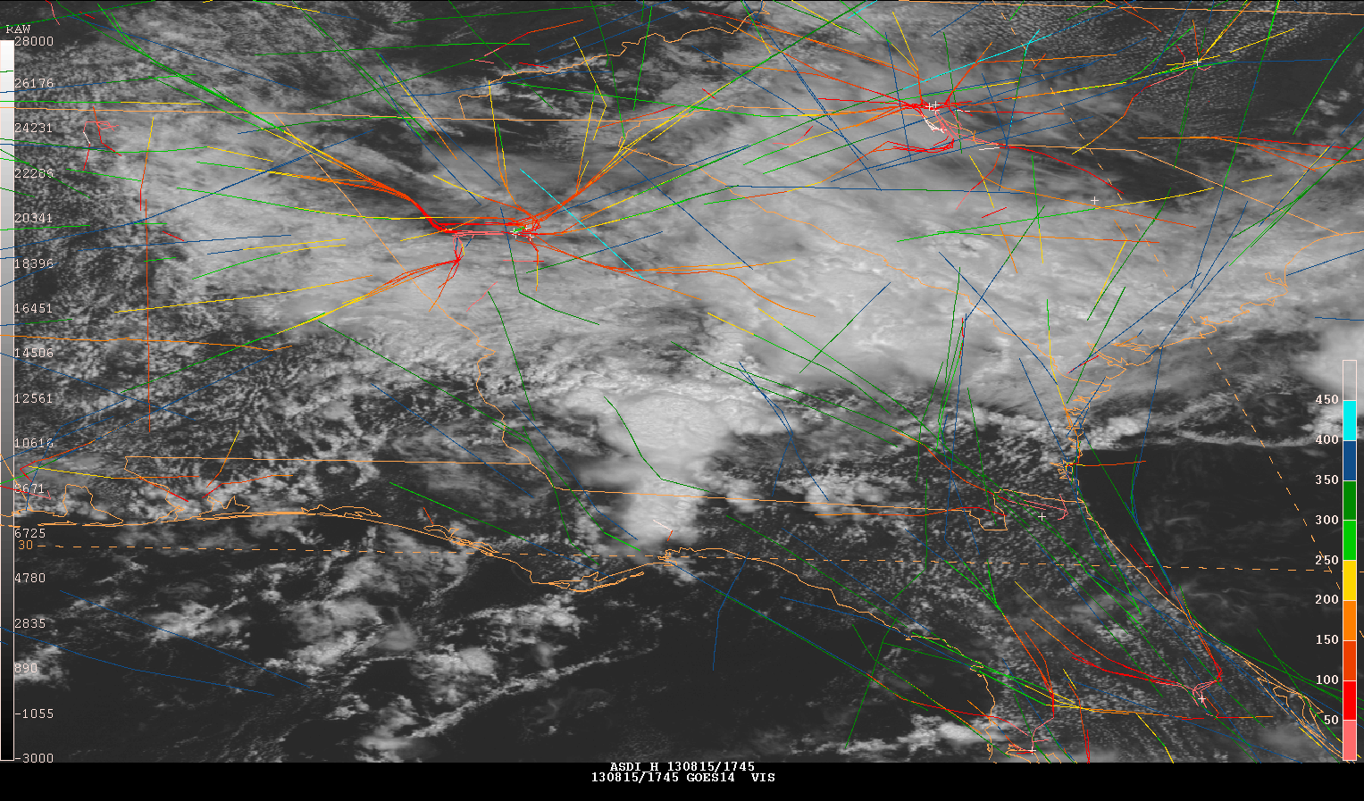
August 15 [227]
(Thursday) |
SRSOR (no FD) |
227/ 11:14:30 UTC - 228/ 11:14:00 UTC |
32N 85W |
Global Hawk ferry flight + Gulf of Mexico Convection |
Blog: Convection in the SE US SRSOR + Flight Tracks over ATL (from Aviation Wx Testbed)
|
August 19 [231]
(Monday) |
SRSOR (No FD) |
231/ 11:14:30 UTC - 232/ 11:14:00 UTC |
39N 115W |
West Coast, NW Fires, etc. |
MT Fires Rim Fire Complex in CA Mesoscale Convective Vortex over Nevada
|
August 20 [232]
(Tuesday) |
SRSOR (No FD) |
232/ 11:14:30 UTC - 233/ 11:14:00 UTC |
37N 84W |
US SE, GH take-off, AWC support, etc. |
GOES-14 SRSOR + Roof Top Cameras Fog over Pennsylvania and New York
|
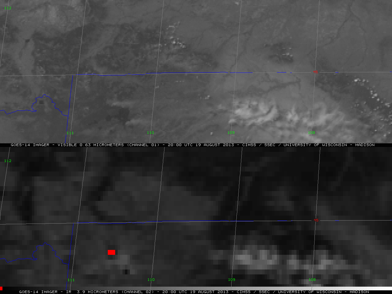
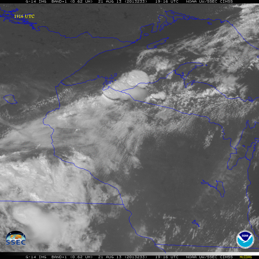
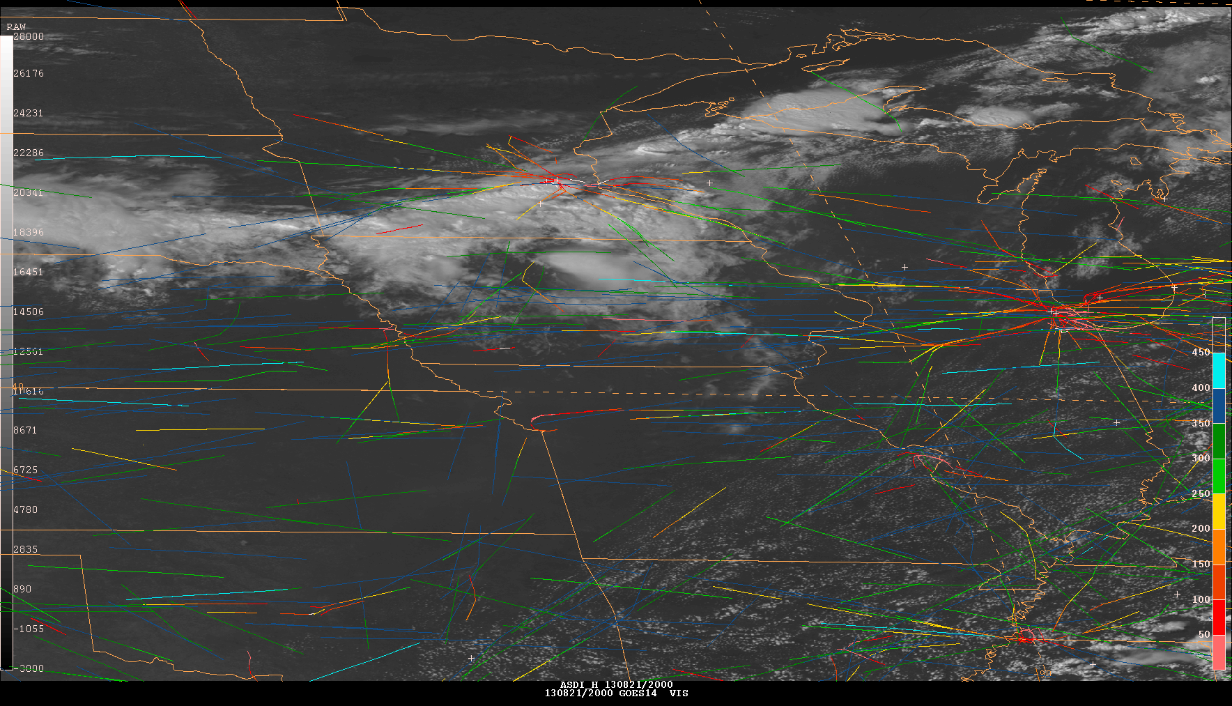
August 21 [233]
(Wednesday) |
SRSOR (No FD) |
233/ 11:14:30 UTC - 234/ 11:14:00 UTC |
39N 93W |
Slight Risk over MN |
early morning over WI SRSOR+RTC Convection over IA Late afternoon over WI Blog: Convection over Midwest animated gif HD mp4 GOES-13 vs -14: (animated gif) (mov) (mp4) SRSOR + Flight Tracks over the Midwest
|
August 22 [234]
(Thursday) |
SRSOR (No FD) |
234/ 11:14:30 UTC - 235/ 11:14:00 UTC |
39N 115W |
Western US, Fires, etc. |
Blog: Fire Rim in CA Visible loop
|
August 23 [235]
(Friday) |
SRSOR (No FD) |
235/ 11:14:30 UTC - 236/ 11:14:00 UTC |
35N 91W |
SEAC4RS field exp |
Isolated convection in the Gulf of Mexico
|
August 24 [236]
(Saturday) |
SRSOR (No FD) |
236/ 11:14:30 UTC - 237/ 11:14:00 UTC |
39N 98W |
Northern Plains, slight risk |
_
|
August 25 [237]
(Sunday) |
SRSOR (No FD) |
237/ 11:14:30 UTC - 238/ 11:14:00 UTC |
37N 113W |
Monsoon convection over SW |
|
August 26 [238]
(Monday) |
SRSOR (No FD) |
238/ 11:14:30 UTC - 239/ 11:14:00 UTC |
40N 96W |
Convection over Upper Midwest |
Convection over WI animated gif SRSOR + RTC Blog: Bore Feature over WI
|
August 27 [239]
(Tuesday) |
SRSOR (No FD) |
239/ 11:14:30 UTC - 240/ 11:14:00 UTC |
39N 115W |
West Coast: Monsoon, SEAC4RS flights, etc. |
CA Rim Fire
|
August 28 [240]
(Wednesday) |
Optimized schedule tests |
240/ 11:14:30 UTC - 240/ 14:14:00 UTC |
39N 115W |
Optimized Super Rapid Scan |
_
|
August 28 [240]
(Wednesday) |
Optimized schedule tests |
240/ 14:14:30 UTC - 241/ 17:00:00 UTC |
N/A |
Optimized Rapid Scan |
_
|
