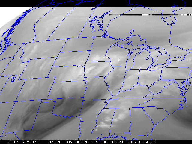
A strong negative-tilt shortwave moved from the central US into the Great Lakes region on 26 January 1996. This system produced blizzard conditions across much of Iowa and heavy snow (>12 inches) across Wisconsin. Convectively-enhanced snow bands were evident on satellite and radar, along the leading
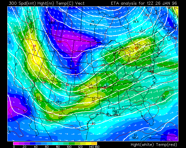
edge of a mid-level jet/dry slot which moved rapidly northeastward across Missouri into eastern Iowa and southern Wisconsin. A lobe of vorticity was very pronounced on the water vapor imagery, as well as a dual jet structure (northern stream across Kansas/Missouri/Illinois, southern stream across Texas/Arkansas). The right entrance region of the southern stream jet helped to spawn strong convection across the Gulf coast and Tennessee valley states later in the day.
Another item of interest in the water vapor animation is a thin wave-like feature which propagates southward across the Oklahoma and Texas panhandle region early in the day. This feature is the upper-tropospheric portion of the cold frontal zone which was moving into Texas in the wake of the central US storm system.