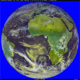
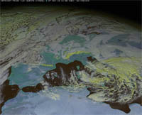
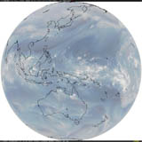
Real Time Satellite Imagery
These are also "touch-friendly" and should run on mobile devices.
Combine spectral bands from several different geostationary satellites
to make an RGB (blended Red-Green-Blue) image
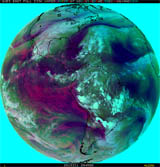
GOES-East (FD)
 |
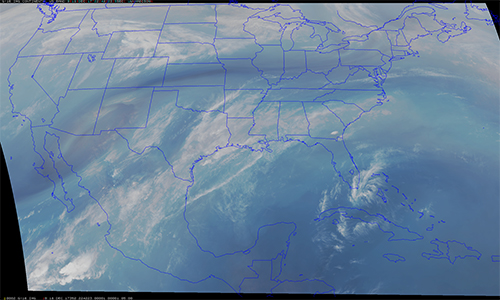
GOES-East CONUS
 |
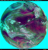
GOES-West (FD)
 |
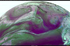
GOES-West CONUS
 |
Met-prime (FD)
 |
Met-prime (Europe)
 |
Himawari AHI (FD)
 |
Himawari AHI (WP)
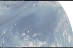 |
The real-time data from each of the above links is processed at the UW-Madison Space Science and Enginering Center (SSEC). Using this webapp, you can combine different spectral bands from real-time scenes anywhere in the world via 8 different geostationary satellites to create a blended colorized RGB image.
Related links
GOES-R
Spatial Resolution WebApp
GOES-R Image Resolution Webapp
GOES-R
Spectral Bands WebApp
Additional CIMSS Weather and Climate Webapps
Copyright© 2014 by Tom Whittaker
at the University of Wisconsin-Madison. Imagery provided by Tim Schmit, NOAA NESDIS.