Important User NoticeSome CRAS runs were discontinued on 18 December 2018. If you were a user, please contact us. | ||||||||||||||||||||||||||||||||||||||||||||||||||||||||||||||
CRAS AUTOMATED ADMINISTRATIVE MESSAGE
COOPERATIVE INSTITUTE FOR METEOROLOGICAL SATELLITE STUDIES MADISON WI
0435 PM UTC THU OCT 12 2023

GEMPAK IMAGE GENERATION FOR THE 20231012/12Z CRAS40HI IS NOW COMPLETE.

.END
Google Earth KML OutputCRAS/CRTMA GRIB2 Output
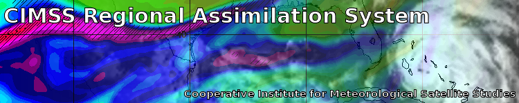
These computer forecasts are EXPERIMENTAL and are used by atmospheric scientists to assess the value of satellite observations in numerical weather prediction. Although the accuracy of these products is consistently good, forecast errors can occur due to non-receipt of data, observation errors, and computer problems. The forecasts are fully automated and are not always closely monitored by CIMSS scientists. The risk of using the CRAS to plan weather-sensitive activities falls on the user. Feedback will help us improve deficiencies in the CRAS. Please forward any comments to the CRASmaster using the contact form. About these ForecastsThe purpose of the CRAS is to test the use of satellite observations
in a numerical prediction model. The quality of a numerical forecast
depends on having accurate observations of the environment to define the
forecast model's initial state. Here is a list of the observations that are
currently used in the CRAS 12-hour spin-up forecast: Support for the National Weather Service
Numerical Weather Prediction Research at CIMSS
| ||||||||||||||||||||||||||||||||||||||||||||||||||||||||||||||
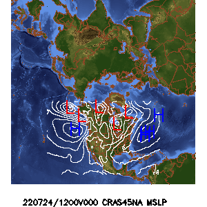 CRAS
CRAS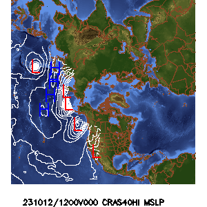 CRAS
CRAS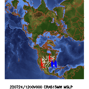 CRAS
CRAS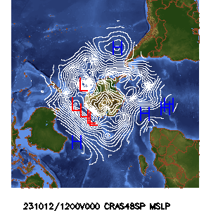 CRAS
CRAS