
Southeast wind gusts
A number of convective clusters formed across a moist and moderately sheared airmass on May 23 and 24. Here are a few examples of ProbSevere v4 output. Please note that reports are valid for the 45 minutes after the image time.
In Louisiana, PSv4 initially did an excellent job predicting a couple of clusters of storms that produced severe wind gusts. As time went on, the intensity of the line diminished in eastern Louisiana, as did the probabilities. However, the model still outperformed the tree-based PSv3. At 14:20Z, you can see the two “zones” of higher probability largely match up with clusters of wind reports.

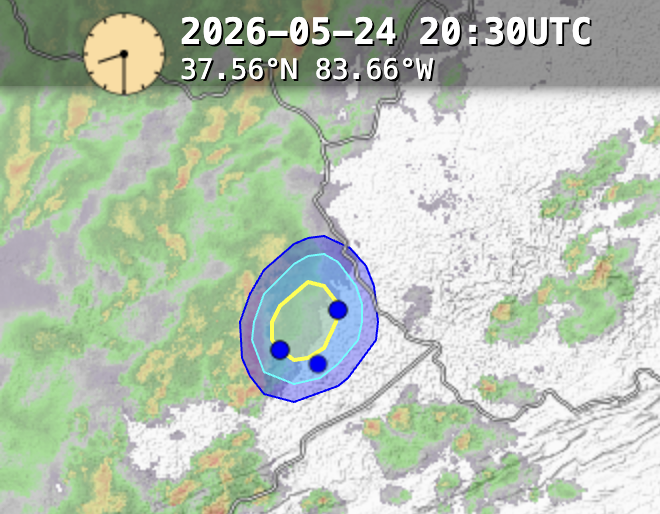
On the 24th, a cluster of storms formed in eastern Kentucky in an adequate environment (1300 J/kg CAPE, 37 kt EBShear, 7.3 C/km low-level lapse rate) and produced a number of damaging wind gusts in Kentucky and West Virginia. The marginal environment and the shape of the storm itself helped produce probabilities higher than PSv3 and before a NWS warning.
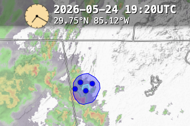
An hour prior in northwest Georgia, a storm cluster went unwarned but produced 4 wind damage reports. The shear was marginal (25 kt EBShear) and the lightning activity was low (max of 6 fl/min). Though the PSv4 probabilities were somewhat low (small maximum > 25%), it still captured the event while correctly keeping probabilities < 10% on neighboring cells.
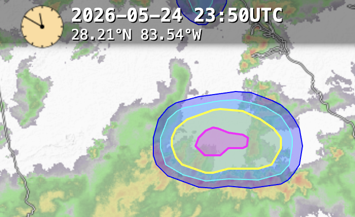
Later in Georgia, there was a strong false alarm area. There were no warnings and no reports. There were reports in southern Georgia an hour prior, but this northward-moving convective cluster did not produce severe weather into the evening hours. The environment was similar to other examples, with the PWAT being a bit higher (2.3 in vs. 2.0 in). This case definitely warrants further investigation.