Cooperative Institute for Meteorological Satellite Studies

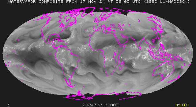
Water Vapor Imagery Tutorial

GOES-9 water vapor image GOES-9 water vapor winds

Image animation: Java | QuickTime
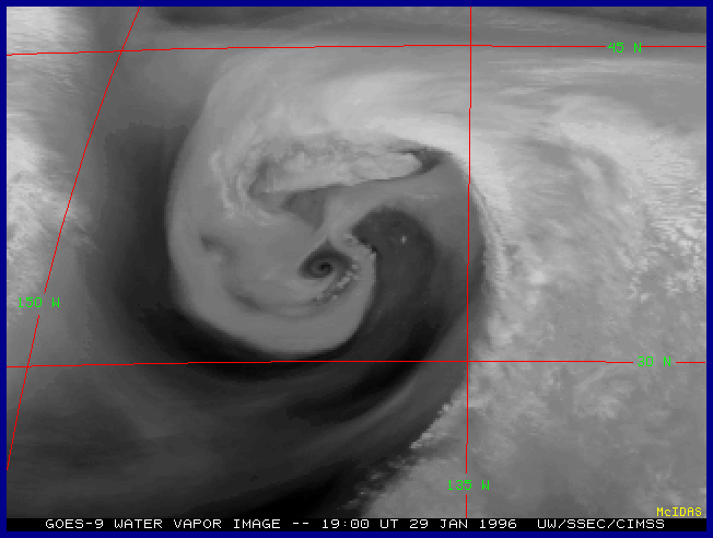
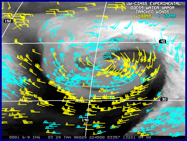
Left: GOES-9 water vapor image showing an extratropical cyclone over the eastern North Pacific Ocean on 29 January 1996 (7 days after GOES-9 became fully operational at 135 W longitude). Ribbons of dry (dark) and moist (light gray) air are seen to be making complete revolutions into the center of the cyclonic vortex; this indicates "closed" wind fields within the middle and upper troposphere, and signals the beginning of the occlusion stage of cyclone development. Right: Corresponding water vapor tracked winds for this case (about 4 hours after the image on the left).

The focus of this tutorial is interpretation of water vapor satellite imagery, with an emphasis on the Geostationary Operational Environmental Satellite (GOES I-M) imager and sounder products.

Introduction & history | Radiative transfer concepts | Forecasting applications

COMET case studies | Water vapor imagery of the month


Sources of real-time water vapor imagery

GOES | METEOSAT | GMS | DMSP SSM/I | Composite imagery | Water vapor winds

Latest SSEC global water vapor composite
Latest SSEC global composite | - MPEG animation -


Water vapor references | Other satellite tutorials | NASA Glossary | NOAA Glossary
Space Science and Engineering Center | Cooperative Institute for Meteorological Satellite Studies

Questions or comments are welcome. Address any correspondence to
scott.bachmeier@ssec.wisc.edu