22 August 1998 -- Heavy Rains Over Texas as Tropical Storm Charley Moves Inland
|

|
|
|
|
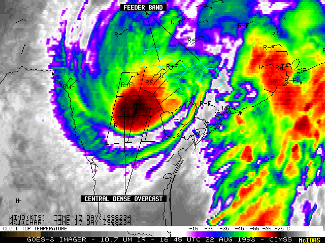
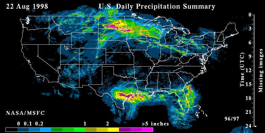
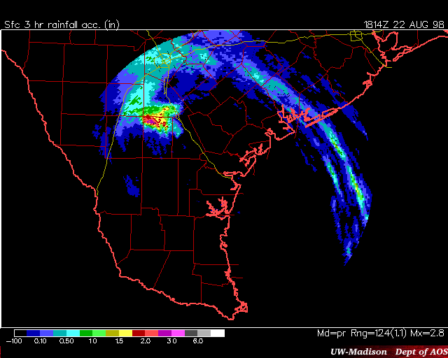
Tropical Storm Charley moved inland across southern Texas early in the day on 22 August 1998 (NCEP/TPC discussion). GOES-8 10.7 micron InfraRed (IR) imagery (above left) displayed a "convective bursting pattern" following landfall (12-hour animation, images every 30-minutes), as strong convection erupted within the central dense overcast (CDO) region near the center of the storm circulation. Heavy rainfall (up to 9 inches) and flooding was observed beneath the very cold CDO cloud tops (red to black enhancement, -65 to -75 C) as they moved westward toward the Hill Country region of southern Texas. Anticyclonic outflow aloft was also evident on the IR imagery, which helped to sustain the convection near the center of the system.
Heavy rain was also associated with more subtle "feeder band" convection which developed north of the circulation center. The cloud tops of these feeder bands were warmer (green to yellow enhancement, -45 to -55 C) compared to those of the CDO, making them less obvious to track using IR imagery. GOES-8 visible imagery (above right) is more useful (along with WSR-88D radar) to track the location and progression of these warm-topped heavy rain features.
