SURFACE OBSERVATIONS
METARS
TAFS
SATELLITE
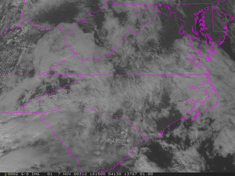
Mid-Atlantic Region 1 km Visible 1815Z
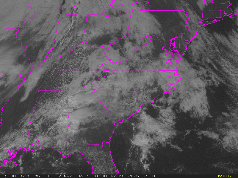
Eastern USA Visible
1815Z
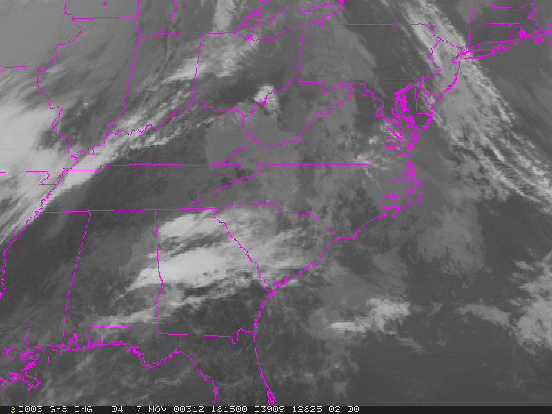
Eastern USA IR 1815Z
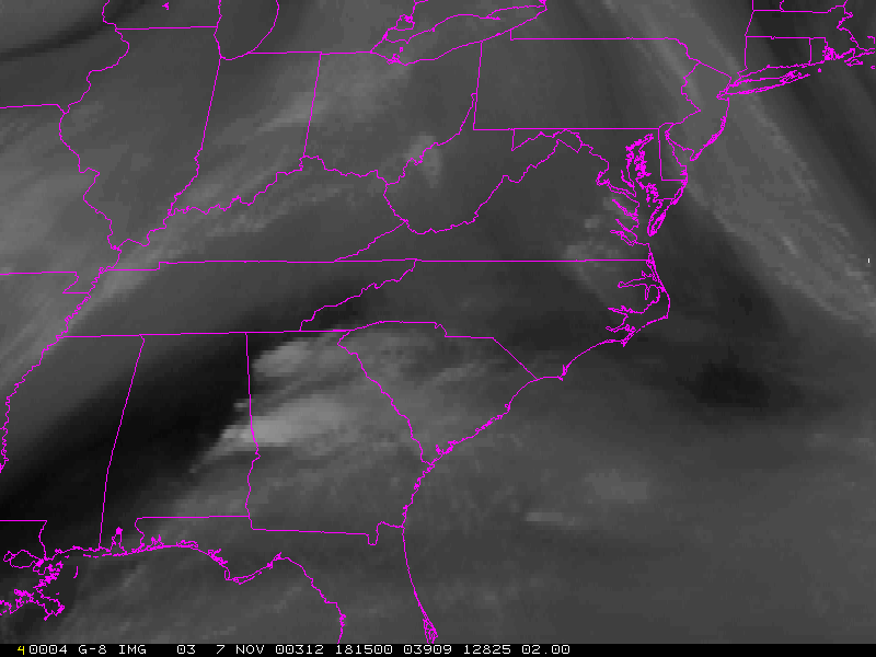
Eastern USA Water Vapor
1815Z
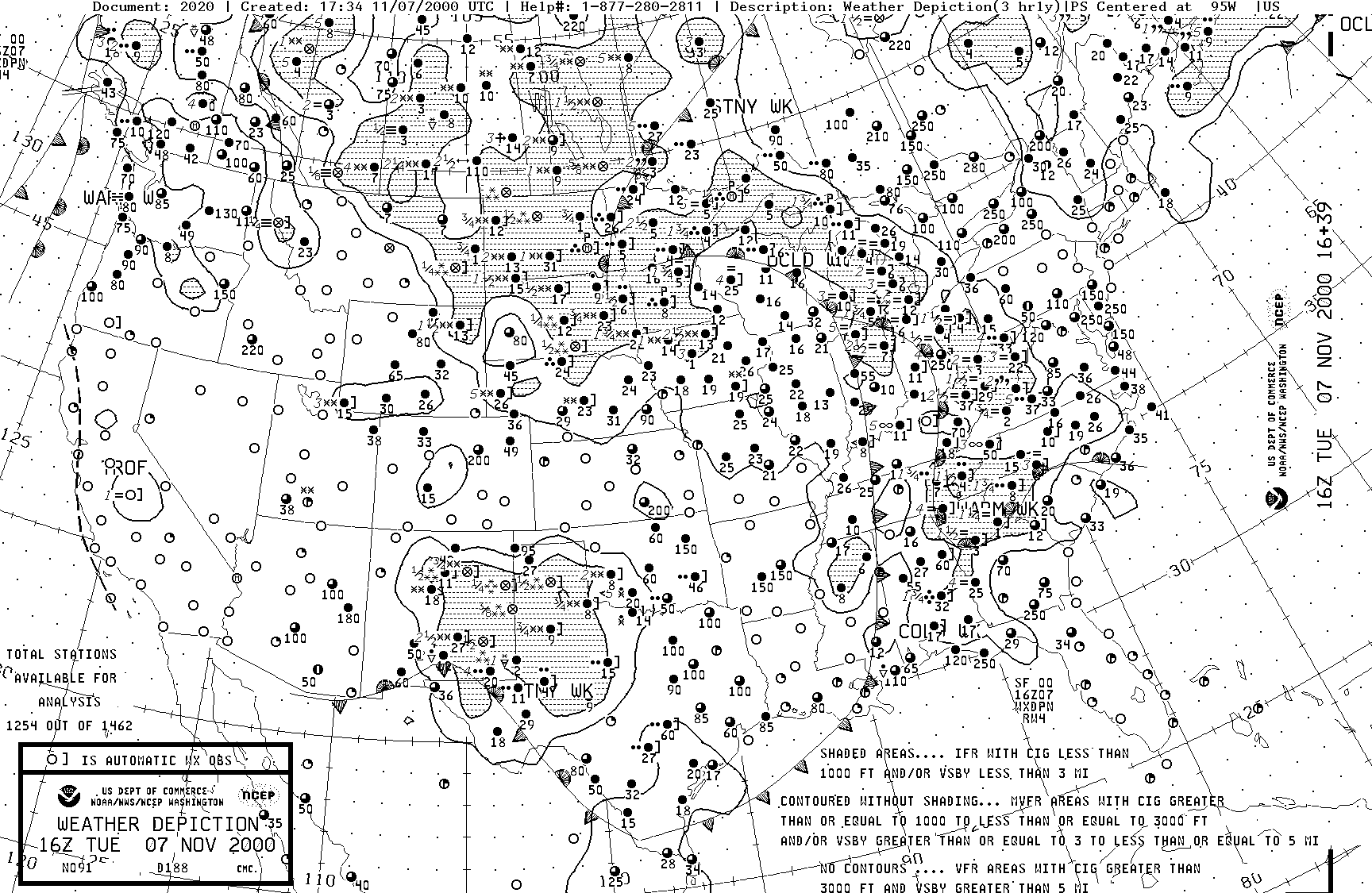
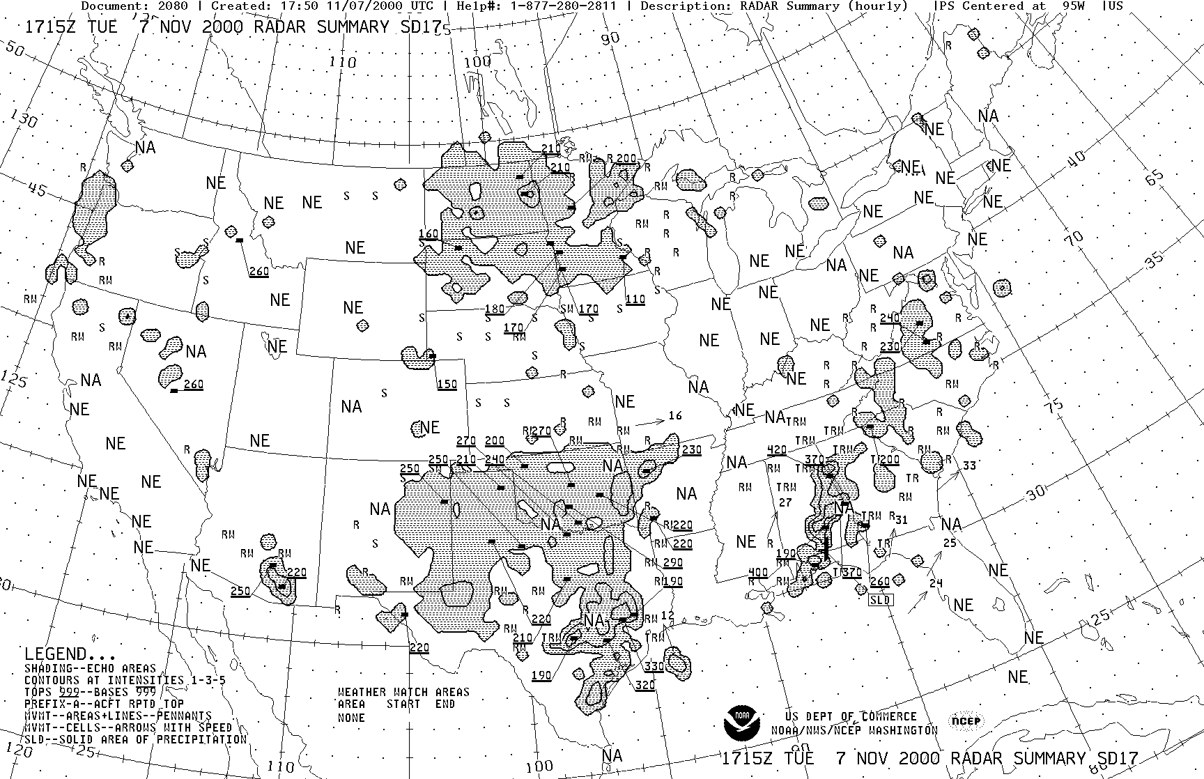
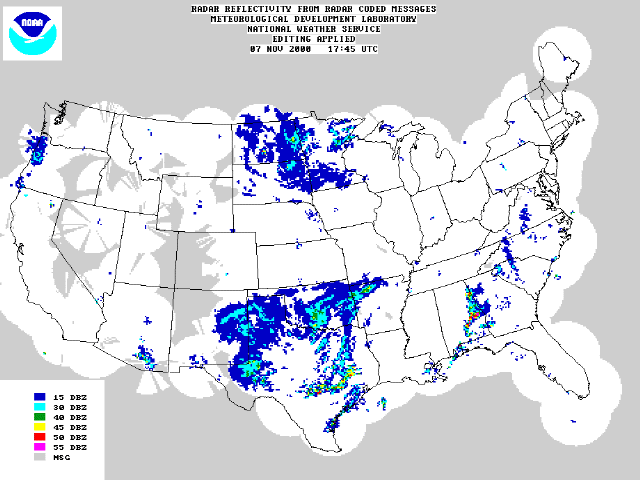
RADAR/WX DEPICTION
Weather Depiction Chart
16Z
Radar Summary Chart
1715Z
National Radar Reflectivity
Image 1745Z
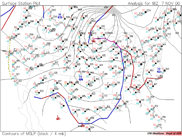
SURFACE MAPS
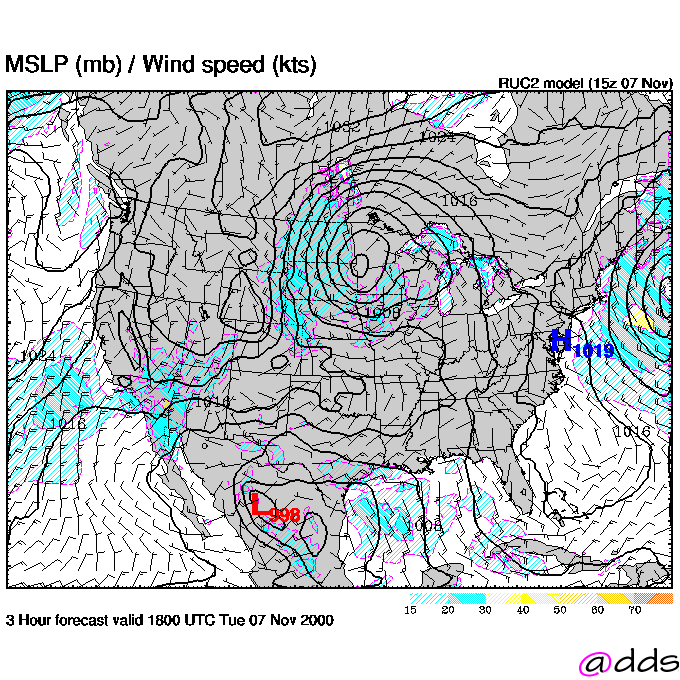
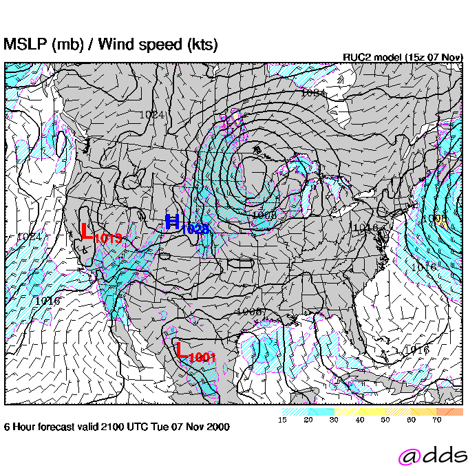
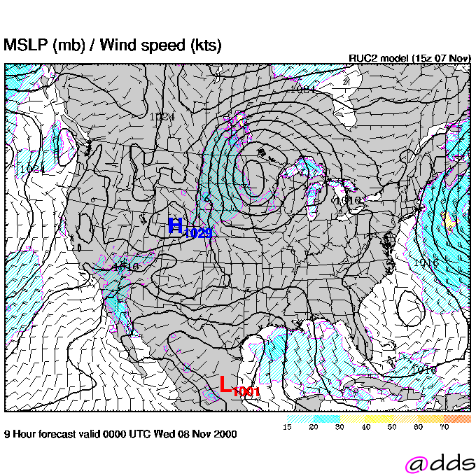
USA Surface 18Z
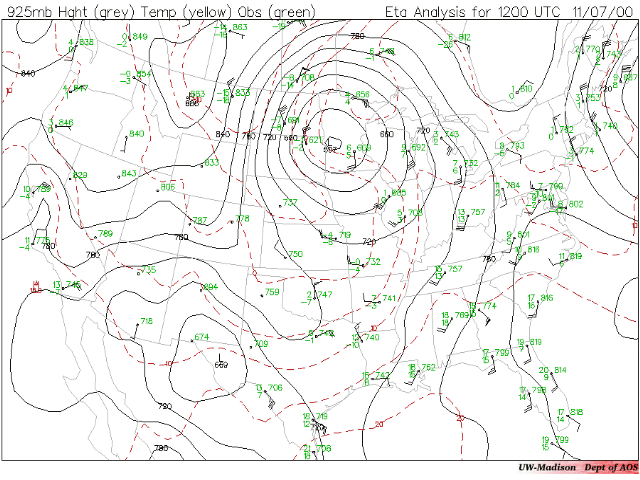
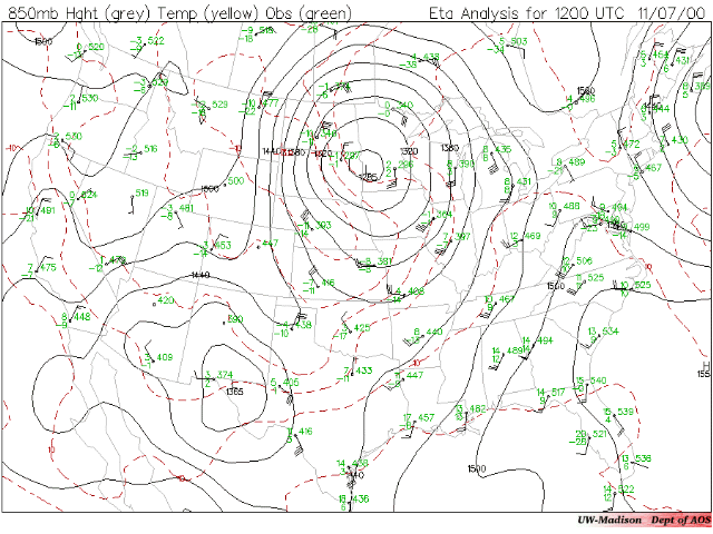
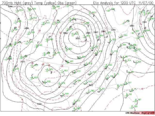
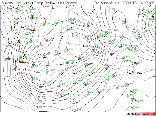
UPPER AIR MAPS
USA 925 mb
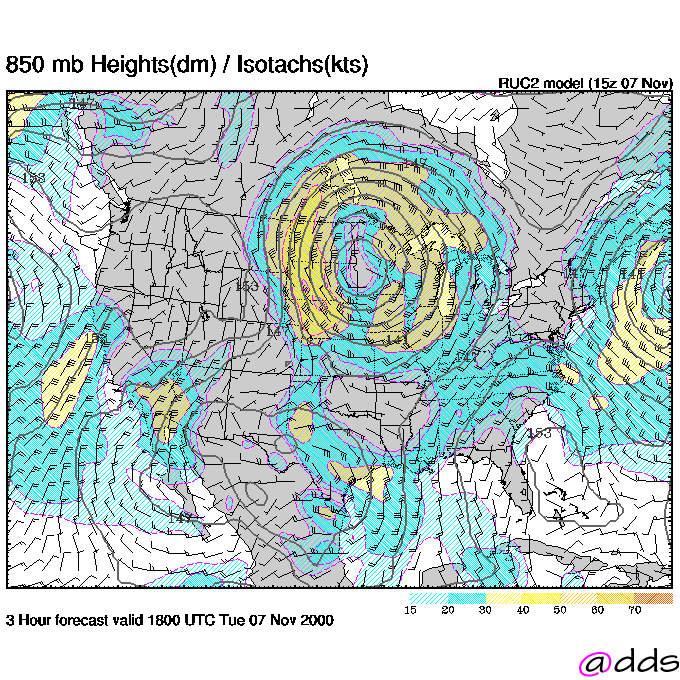
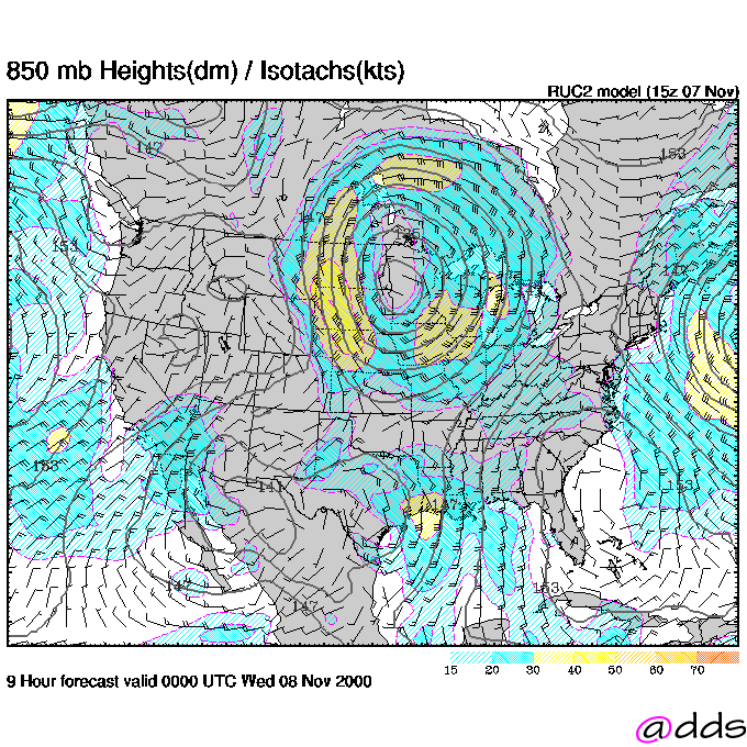
USA 850 mb
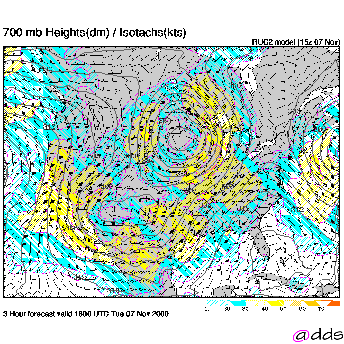
USA 700 mb
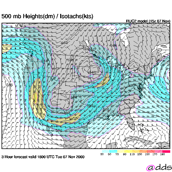
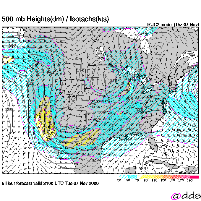
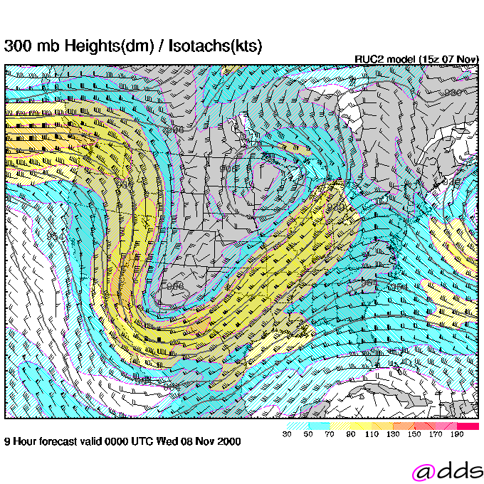
USA 500 mb
WINDS ALOFT FORECAST
18Z near Surface
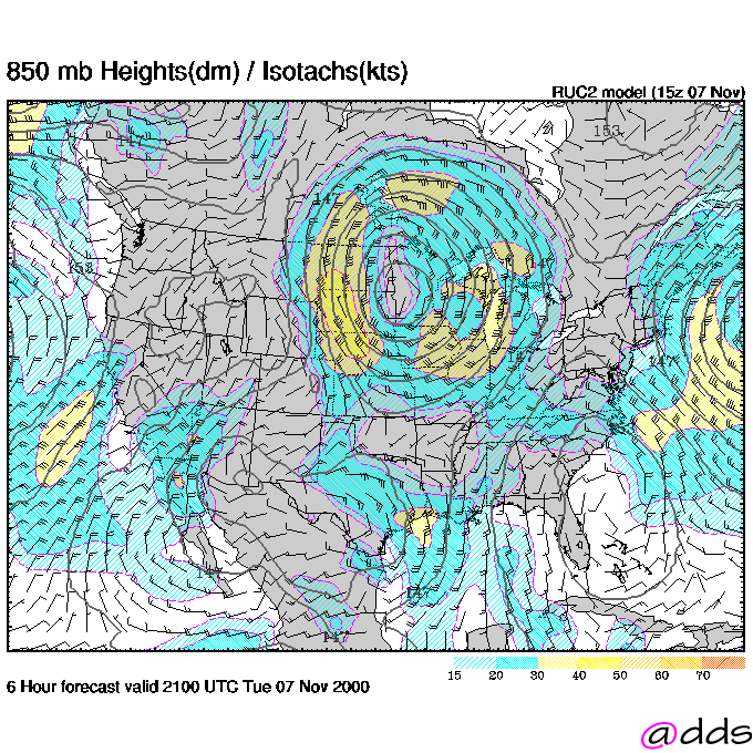
18Z for 850 mb
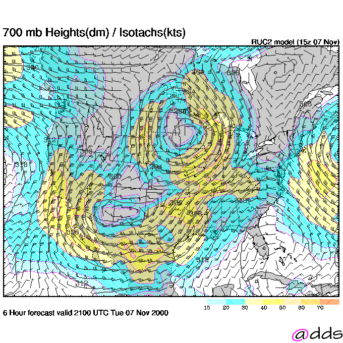
18Z for 700 mb
18Z for 500 mb
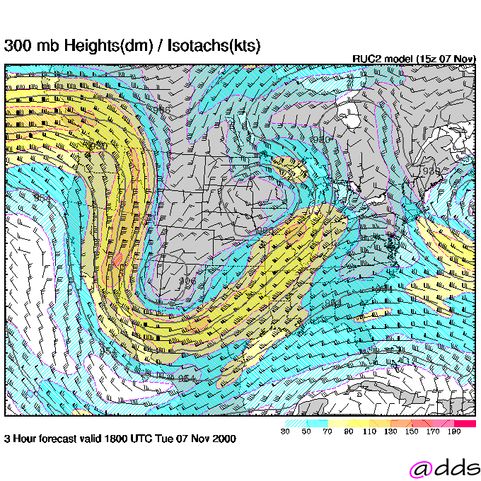
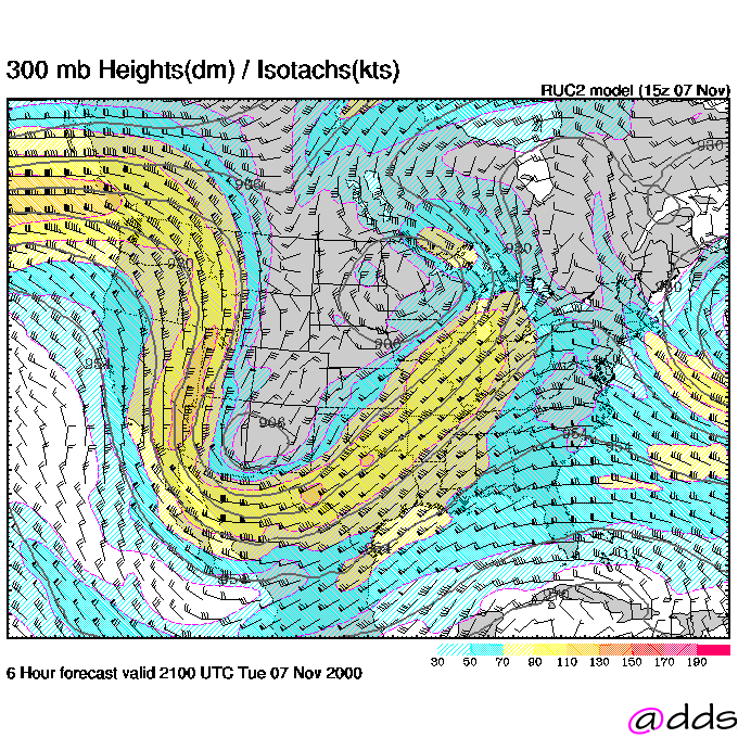
18Z for 300 mb
21Z near Surface
21Z for 850 mb
21Z for 700 mb
21Z for 500 mb
21Z for 300 mb
0Z near Surface
0Z for 850 mb
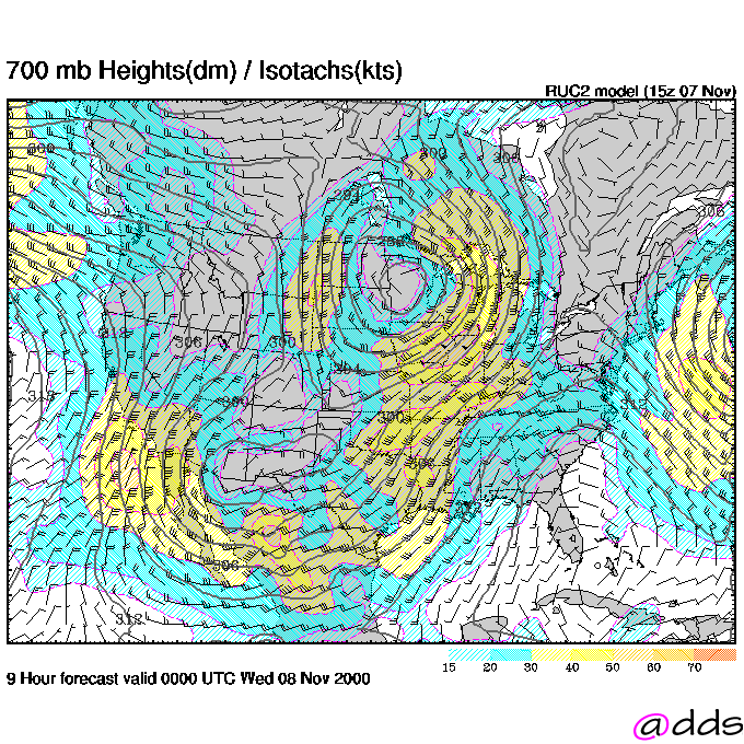
0Z for 700 mb
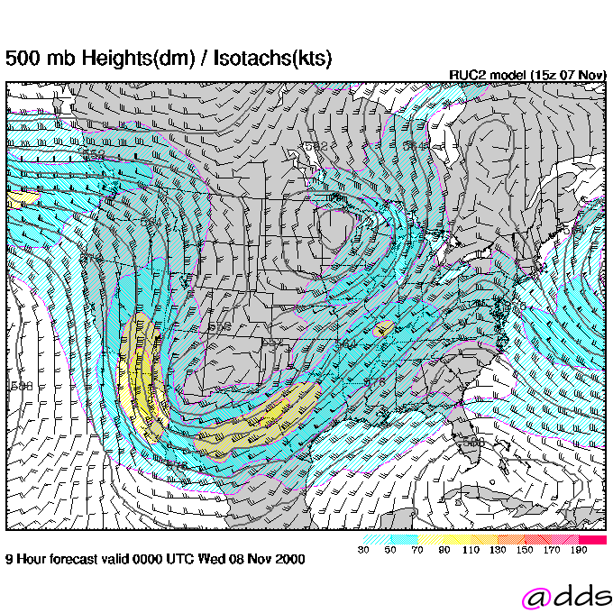
0Z for 500 mb
0Z for 300 mb
OTHER TEXT PRODUCTS
AIRMETS
Area Forecasts
Return to Case Study II Main Page
Return to Weather For Pilots Main Page
Local
Madison Weather

