Typhoon Nuri: Shear and Divergence
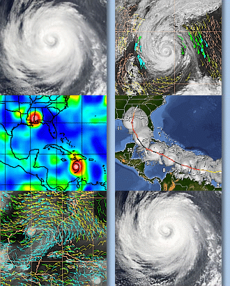
Here are two animations showing some of our satellite products as they trace Nuri through gensis and beyond.
The first, our upper-level divergence product is shown here (java animation).
The second, our shear product is shown here (java animation).
The divergence product shows Nuri from pre-genesis stages (00z 14 of August, 2008) until 22z 18 August, when Nuri is nearly 80 kts. From just after the onset of the animation, you can see the divergence around Nuri. Although the magnitude varies quite a bit throughout the animation, you can see a fairly coherent signal of 10 - 20 (s-1) over a relatively large region surrounding Nuri. Generally, this divergence is focused to the south of the storm, where most of its outflow was contained. From these animations, it’s difficult to see if the divergence can predict intensification, but it is clearly a sign of a strong sytem.
The shear product is also useful for understanding Nuri, although it does present a bit of a mystery. As you can see Nuri develops under fairly weak shear (5 to 10 kts). But, after Nuri begins to intensify during the 18th of August, you’ll see that Nuri enters a region of relatively very high shear. Keep in mind, however, that this shear is geo-relative: the storm’s motion is not accounted for. As the storm is moving to the west and the shear is from the northwest, some of its impact might be lessened. This is certainly an area for future research.
Tags: divergence, Nuri, shear


