
7
Weather Forecasting

A California Case Study - III
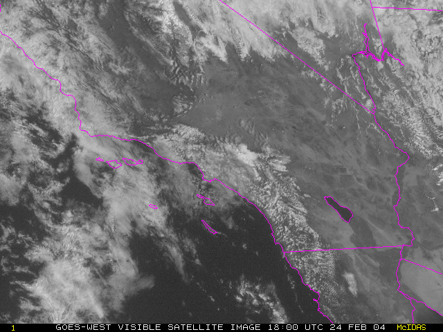
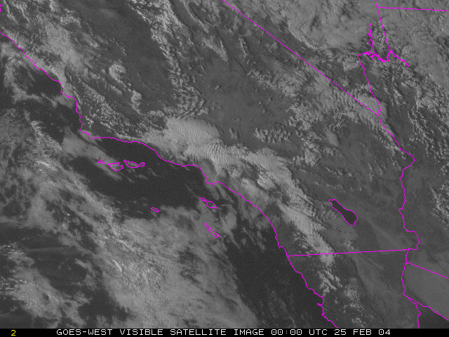
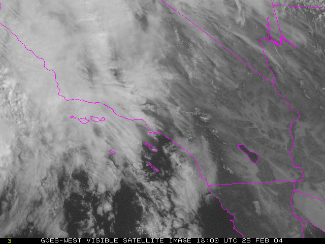
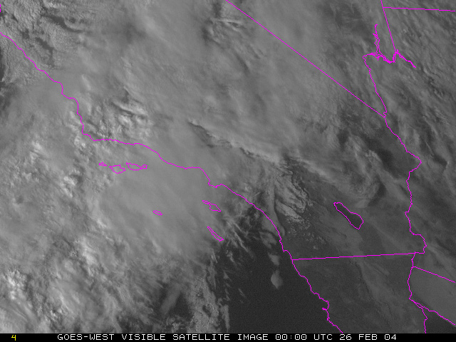
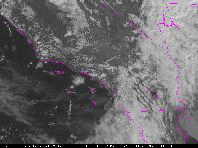
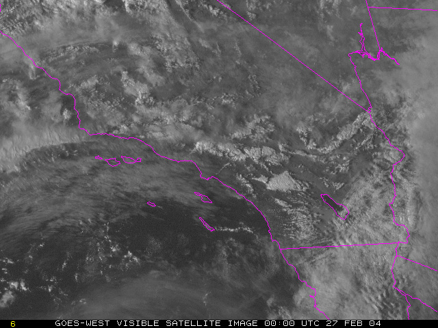
Let's look at some more information about this storm. This series of visible satellite images are closer up (higher resolution) than the previous IR images and only show southern California. The time period is the same as the last two pages that the IR images show. Combining these images with the bigger picture provided by the previous IR loops, you should be able to see the front pushing through the area.
 [1] |
 [2] |
 [3] |
 [4] |
 [5] |
 [6] |
Here is a loop of the visible satellite images. Because this is February and visible images require sunlight, the loop only has images at noon and 6pm when there was enough reflected light.
| 9 / 12 |