
7
Weather Forecasting

A California Case Study - I
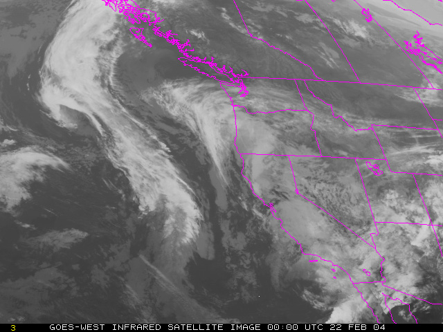
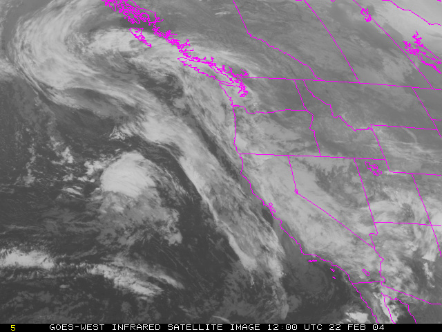
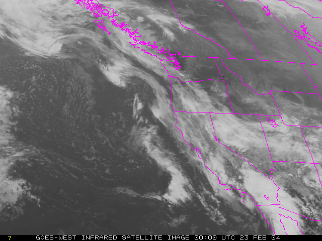
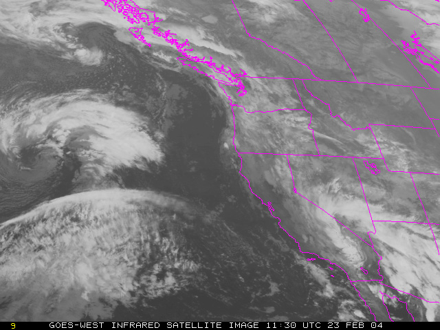
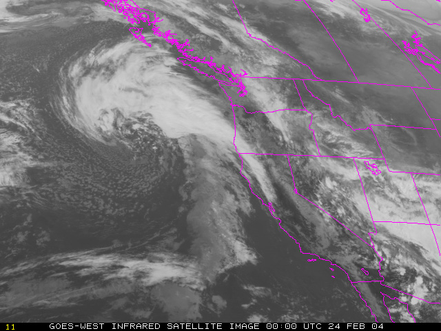
Let's look at a weather system in more detail, starting with satellite images. Here are several IR images provided by the GOES West satellite in February 2004. Each image is one day apart. They have not been colorized or otherwise enhanced, except for the addition of a map outline.
 [1] |
 [2] |
 [3] |
 [4] |
 [5] |
 [6] |
Here is a looped animation showing the weather system every 6 hours. What do you see?!
| 7 / 12 |