
Satellite Winds

Summary
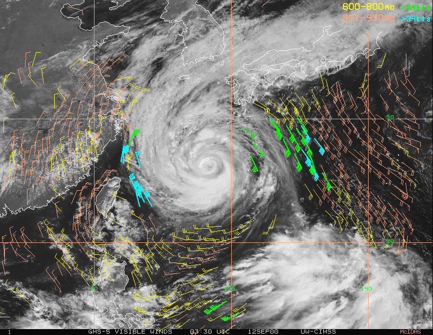
A sequence of GOES images, separated by 15 or 30 minutes, are used to compute winds
from satellite images. Satellite meteorologists are able to generate winds at different
levels of the atmosphere all around the globe. This is particularly useful over the
oceans where conventional weather observations are not possible.
While it's true that buoys and ships send in weather observations they simply can't
contribute anywhere near the coverage offered by satellites. The accuracy of weather
forecasts improved dramatically during the 1990's due to the addition of satellite
derived winds in forecast models. This has been especially crucial to the timing and
location of where a hurricane makes landfall.
| 6 / 6 | Next Module |