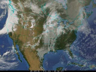
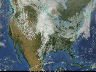
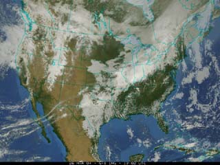
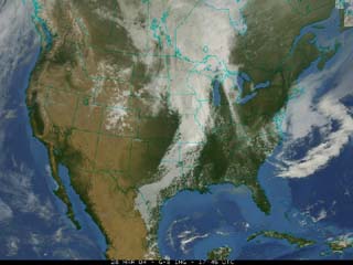
Here are four satellite images from four days in a row. You should be able
to tell at a glance where the moisture is. Can you track the main area
of low pressure as it moves across the country? Try to find the fronts.
Where do you think the high pressure is?
It is always helpful to animate satellite images.
Can you see the storms marching across the United States?
Here is a forecasting activity to try at home.
First, collect the forecast from your local newspaper each day for
a week. Compare Monday's forecast for the weekend with Friday's
forecast for the weekend. Are they different? Why?
At the same time, watch the weather on the
evening news. Pay close attention to the satellite images they show.
You should be able to notice the
same information on the satellite images as the weather map in newspaper
or on the rest of the weather report. Make your own forecast for
the weekend.
Continue to take a closer look at a weather scenario
Go back to the previous page