
Explore the information of different bands from the GOES Imager
Imager (14-August-2014)
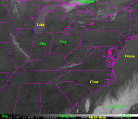 |
Imager (14-August-2014)
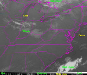 |
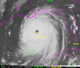
Katrina (28-August-2005)
 |
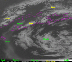
Alaska (20-May-2014)
 |
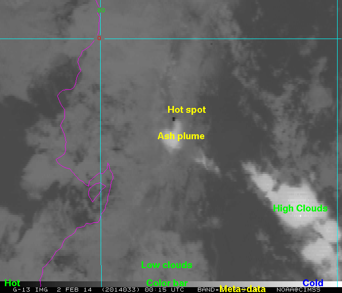
Imager (02-Feb-2014)
 |
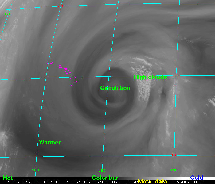
Hawaii (22-May-2012)
 |
This webapp allows one to explore the different spectral bands for satellites, for this case the GOES Imager.
Related Links
Information about the GOES Imager
Many weather related Webapps
GOES-R web page
Other Realtime geo satellite imagery from around the world
Unless otherwise noted, all these applets are Copyright© 2014 by Tom Whittaker at the University of Wisconsin-Madison. Imagery provided by Tim Schmit, NOAA NESDIS.