11 August 1999 | Salt Lake City Tornado | GOES-10 Imager 6.7 Micrometer IR (Water Vapor)
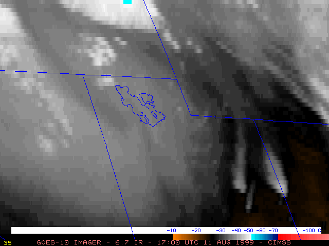
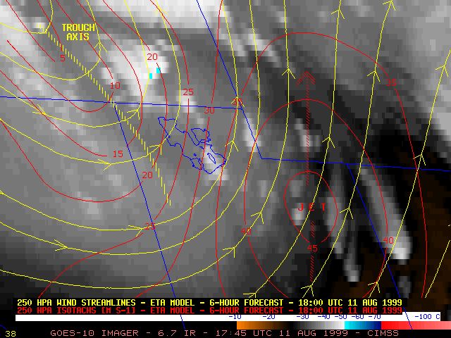
This loop of GOES-10 6.7 micrometer InfraRed ("water vapor") imagery shows the development of convection across the Great Basin region during the late morning and early afternoon hours on 11 August 1999. The axis of an upper-level shortwave trough can be seen moving eastward across northern Utah. The strong upper level dynamics associated with this trough may have played a role in the development of the severe convection that moved through the Salt Lake City area.
Note that a cloud top temperature minimum of -50 C (light blue enhancement) appears near the far eastern tip of the Great Salt Lake on the 18:45 UTC image, which corresponds to the time of the Salt Lake City F2 tornado and 1.5 inch diameter hail report near that area. (Salt Lake City is located at the center of the image, near the southeastern edge of the Great Salt Lake)
