|
|
|
|
|
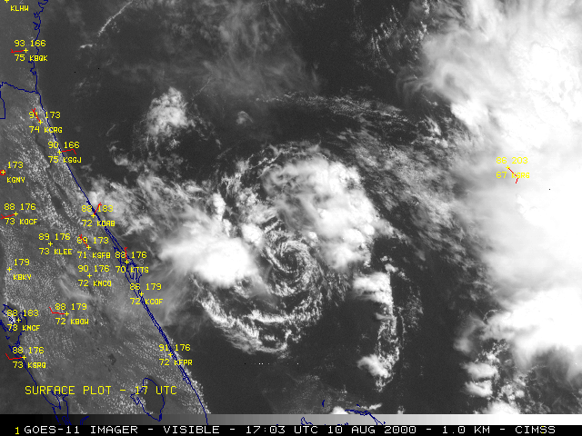
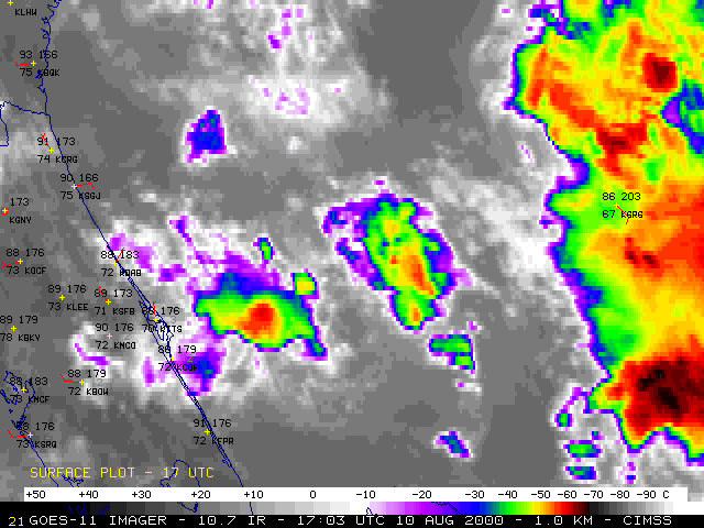
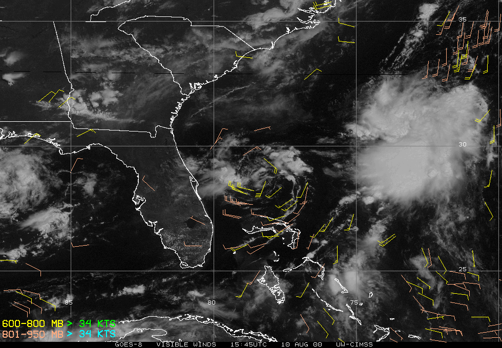
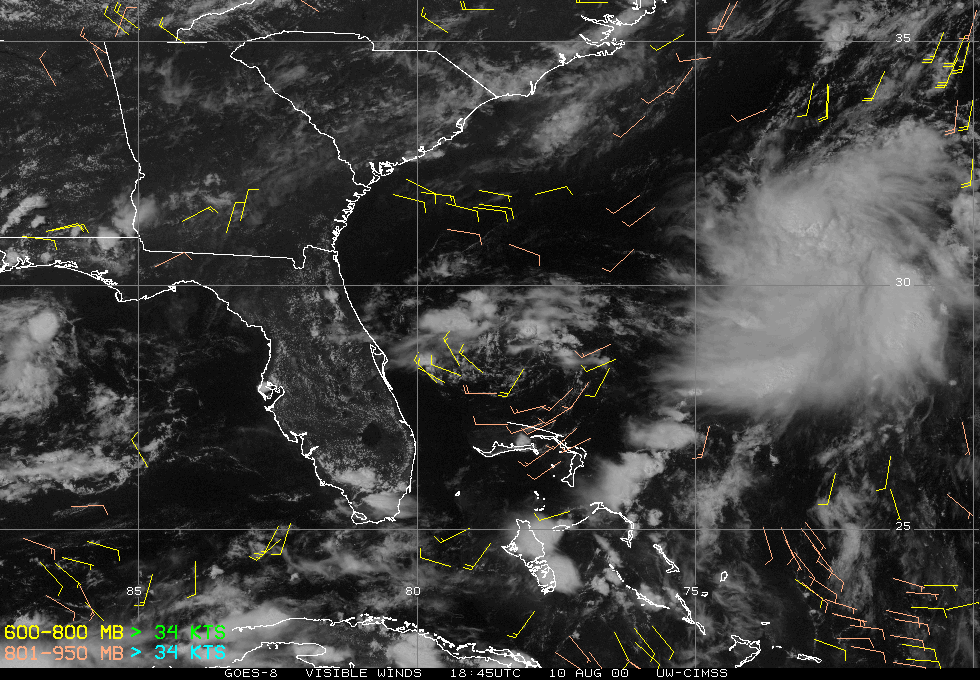
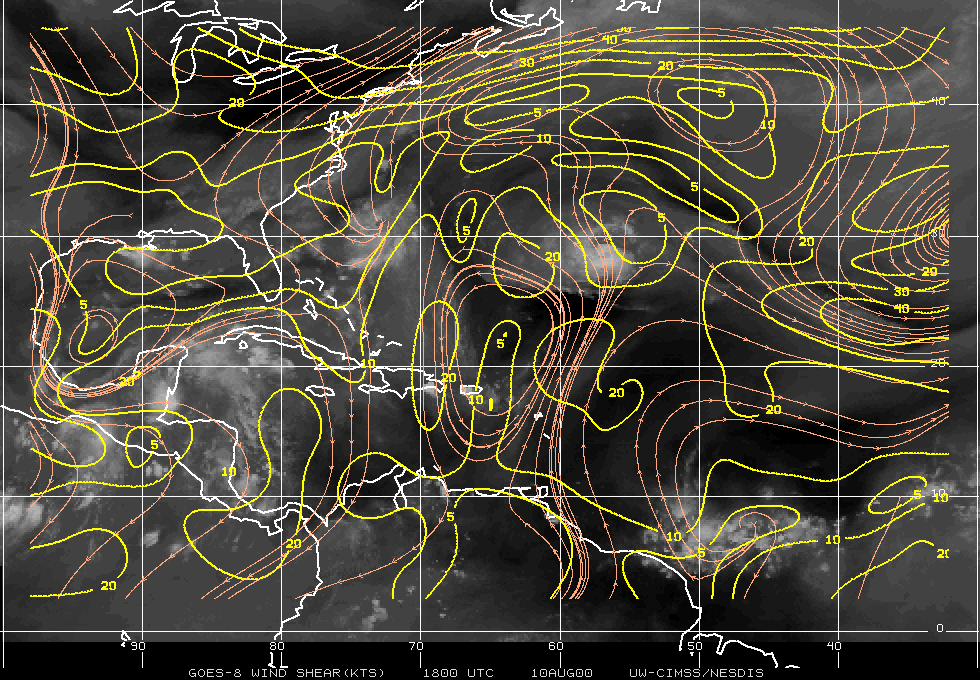
Tropical Depression #4 formed off the east coast of Florida on 09 August 2000. GOES-11 visible and 10.7 micrometer InfraRed (IR) imagery (above) shows the exposed low-level circulation, and small clusters of convection that develop around the periphery of the tight circulation. The depression formed over the relatively warm water (near 28 C) off the Florida coast, but deep-layer easterly shear was inhibiting further development. GOES-8 visible cloud tracked winds produced by the CIMSS Tropical Cyclones team (below) indicated that the winds around the center of the circulation were at or below 30 knots.
|
|


