|
|
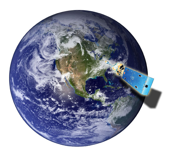
Weather satellites provide us with the big picture of our planet. Until the invention of hot-air balloons in 1792, the only way humans could get a birds-eye-view of the Earth was to climb a tree or hike to the top of a mountain. Weather satellites have been our “eyes in the sky” since 1960 with the launch of a satellite called Tiros I. Today we are use to seeing satellite images on TV weather broadcast but few people realize how much information is available from a single satellite image. Clouds on satellite images mirror the patterns on weather maps. This is because clouds develop when air rises near cold fronts, warm fronts and areas of low pressure. Sinking air around areas of high pressure result in clear skies. A meteorologist can take one look at a satellite image and tell where the mild air is, where the cold fronts and warm fronts are, and even identify stormy weather. You can too, let's try it! |

