A CALIFORNIA CASE STUDY continued
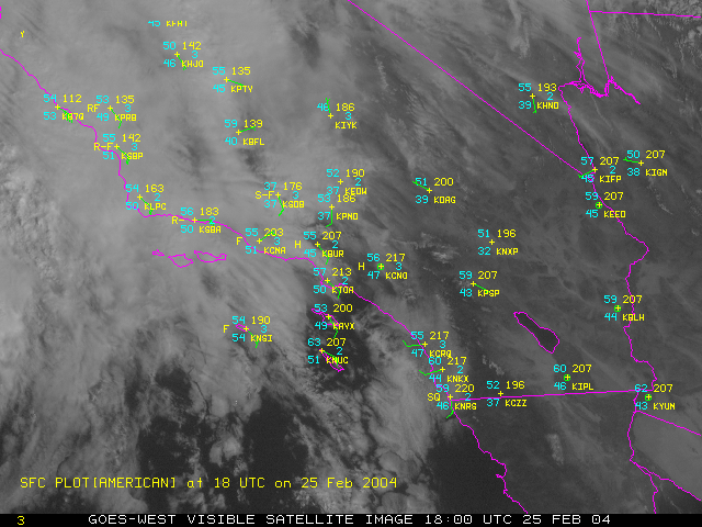
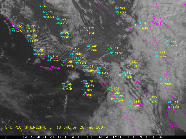
Here are two visible images with surface weather observations plotted on them. Can you see the frontal passage?
Here is a loop of this data. Use your cursor to zoom into the image. (click on ZOOM, then point & click on the image, it will get bigger) You can also move the center of your image with your cursor. Play around, this is a fun way to analyze a weather map!