
A
CALIFORNIA CASE STUDY
Summary
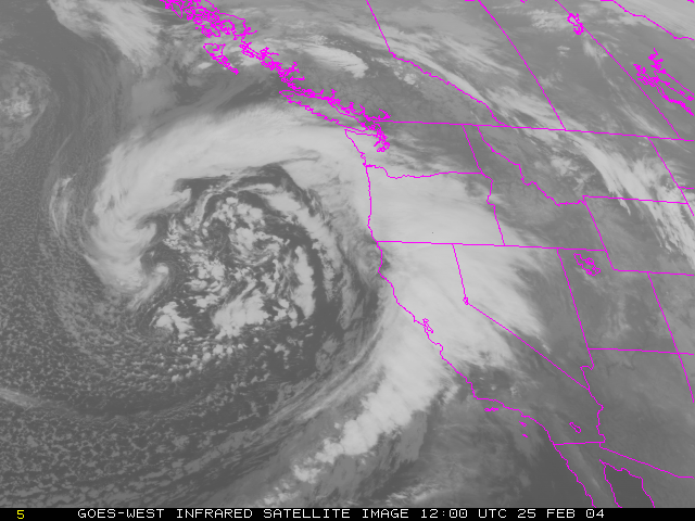
This impressive storm dumped 2 inches of rain in the Los Angeles area on February 25th and 26th, 2004. Some newspapers called it the strongest winter storm of the decade. Since it had rained over an inch just four days earlier, flooding and mudslides were widespread.
The winds were generally from the south before the front passed and then from the west-northwest after the front passed. Technically this was a cold front, but the temperatures didn't change much. This is due to the huge influence that the Pacific ocean has on the weather in the LA area. Weather systems form and travel over hundreds of miles of mild ocean waters before they come onshore, so there is very little change in the daily temperatures in southern California near the coast.
Here is a table of the weather conditions from the same period as the satellite images.
February 24th February 25th February 26th February 27th