
Introduction to Satellite Meteorology

Brief History of Satellite Meteorology
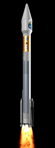
NASA rocket carrying
the Terra satellite
into space
Until the invention of hot-air balloons in 1792, the only way humans could get a birds-eye-view
of the Earth was to climb a tree or hike to the top of a mountain. When the camera
was developed in the mid-1800’s people began to take aerial photographs from
hot-air balloons.
Human ingenuity in 1906 resulted in the construction of an array of 17 kites tied
to a boat in the San Francisco Bay to take pictures of the aftermath of the historic
earthquake and resulting fires.
Imagine the excitement in the 1950's when scientists readied to launch satellites
that would orbit the Earth and enable continuous remote sensing of our atmosphere,
lithosphere, biosphere, and hydrosphere.
Today, satellites record natural disasters such as fires, earthquakes, and volcanoes
on a routine basis, along with monitoring the oceans, weather and just about everything
else that goes on between the Earth's surface and the top of the exosphere.
In the short span of 4 decades, humans have launched thousands of satellites. According
to NASA, there are currently over 2,500 satellites orbiting earth! Not all of them
are operational but many are visible in the night sky, just look for something that
looks like a distant star moving steadily and slowly across the sky.
| 2/4 |