


When the Galveston Hurricane hit Texas in September of 1900, the seaside village had no way of knowing that a monstrous hurricane was bearing down on them. The weather bureau had received a ship report of a tropical disturbance in the Atlantic four days earlier but forecasters assumed it was headed for Florida. Without weather satellites or modern communication capabilities, people didnt realize that evacuation was necessary until it was too late. The low-lying, three-mile-wide by 30-mile long island offered no protection from the Category 4 hurricane. Most victims drowned as the ocean inundated the island and an enormous wall of water leveled house after house after house. Persistent 100+ mph winds pummeled the island for hours after the storm surge. By the time the Galveston hurricane had moved inland, one-fifth of the island's population, (8000 people) had lost their lives.
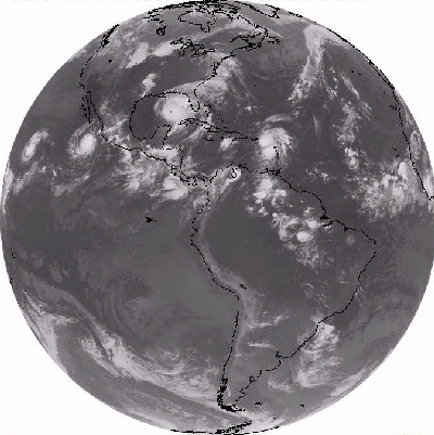
This sort of surprise weather scenario is unthinkable in the 21st century thanks to weather satellites. Meteorologists track possible hurricanes world-wide from the moment they start as small tropical depressions over warm ocean waters to the time when they dissipate days or weeks later.
Continue to learn about blizzards
Go back to the previous page