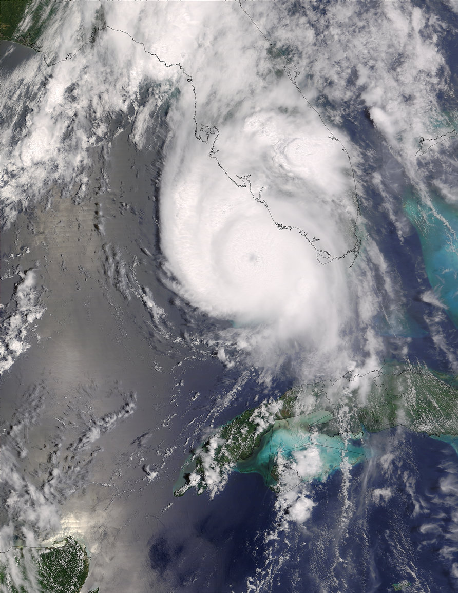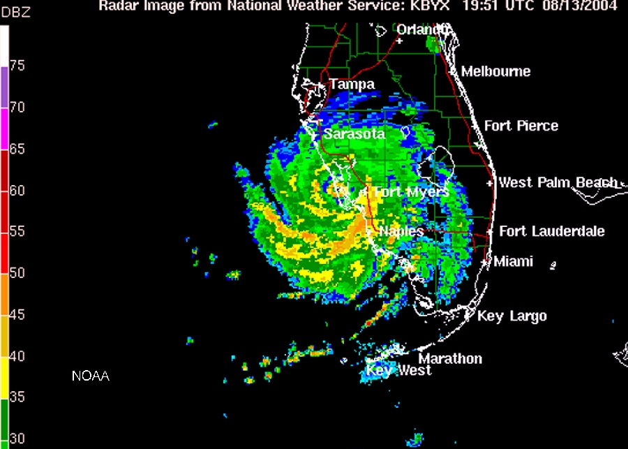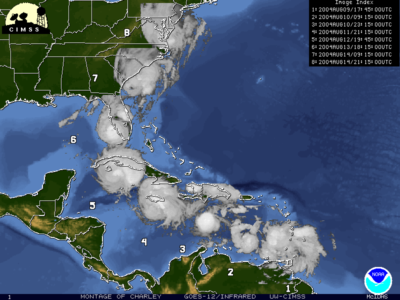

Charley appeared on satellite images just east of Barbados on August 9th, intensifying to hurricane strength on August 11th as it passed south of Jamaica. Charley made landfall on the southwest coast of Florida during the evening of August 13th as a category 4 hurricane with maximum sustained winds of 145 mph.
Hurricane Charley left a swath of destruction as it traversed central Florida. Winds slowly diminished to 85 mph before the storm moved back out to sea near Daytona Beach on August 14th. After moving into the Atlantic, Charley came ashore two more times in South Carolina on the 14th, both times with slightly diminished winds. Charley weakened to sub-hurricane strength over North Carolina and was absorbed into the general weather circulation over Virginia.
Charley was directly responsible for 10 deaths in the United States, 9 in Florida and 1 in Rhode Island. There were also 4 deaths in Cuba and 1 in Jamaica due to Charley. An additional 16 U.S. deaths have been indirectly attributed to Charley. Preliminary damage estimates range from 13 to 15 billion dollars, which makes Charley the 2nd costliest hurricane in U.S. history.
Continue to learn more about Hurricane Frances
Go back to the previous page |