
|
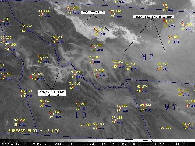
Scientists use GOES data to monitor fires and smoke associated with wildfires, prescribed burns, deforestation and other agricultural applications, collectively referred to as biomass burning. Biomass burning is a distinct biogeochemical process that plays a major role in the global carbon cycle impacting both regional and global climate change. Biomass burning releases significant amounts of trace gases and particulates into the atmosphere. Below is a visible satellite image showing smoke from a forest fire. Smoke
reflects solar radiation and is easy to track by a series of goestationary
satellite images during the daytime. | |
|
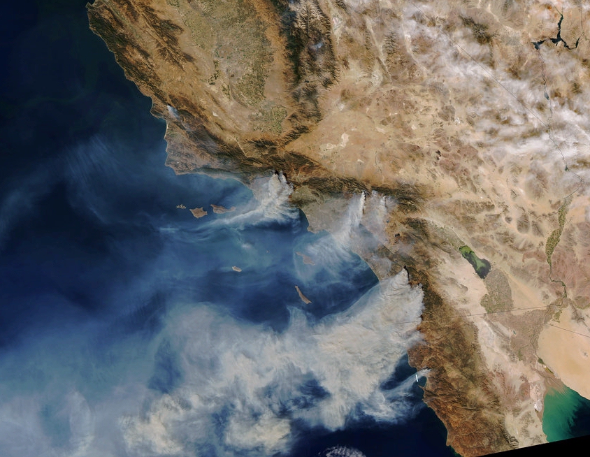
Low orbiting polar satellites offer striking snapshots
images of fires but can't track smoke plumes like GOES can. (why?)
Continue to the next page Back to the previous page
|