
|
The idea of using successive satellite observations of clouds to determine
wind direction and speed was pioneered by Professor Suomi of the University
of Wisconsin-Madison.
This module provides an explanation of how this is accomplished.
While the concept is simple,
the procedure is
rather complex.
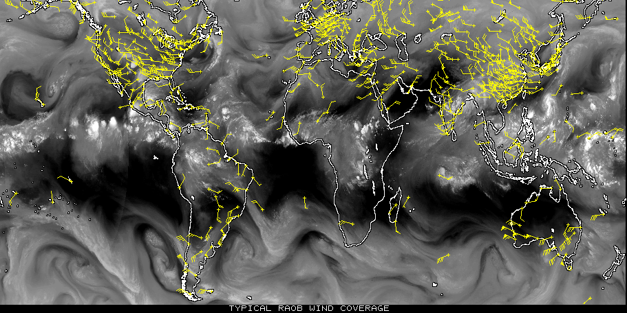
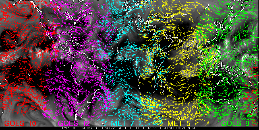
In fact, it took several decades before satellite derived winds were accurate enough to be incorporated into weather forecasts. The wait was well worth it however and today, all of society benefits from the increased coverage provided by satellite wind technology.
In this module, you will learn: |