This website works best with a newer web browser such as Chrome, Firefox, Safari or Microsoft Edge. Internet Explorer is not supported by this website.

Category: VIIRS

Henri becomes a hurricane off the US East Coast

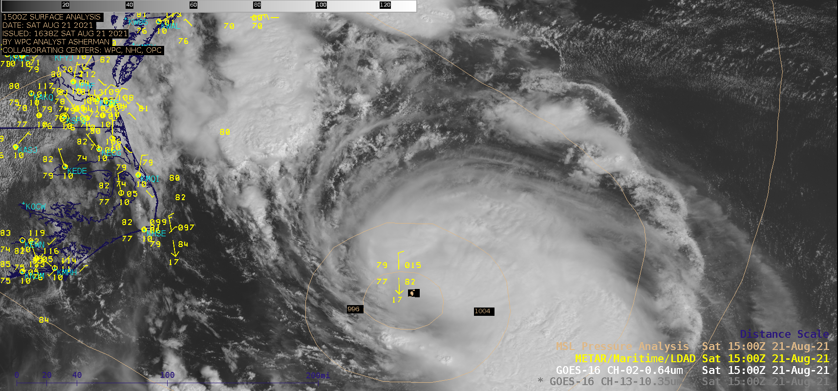
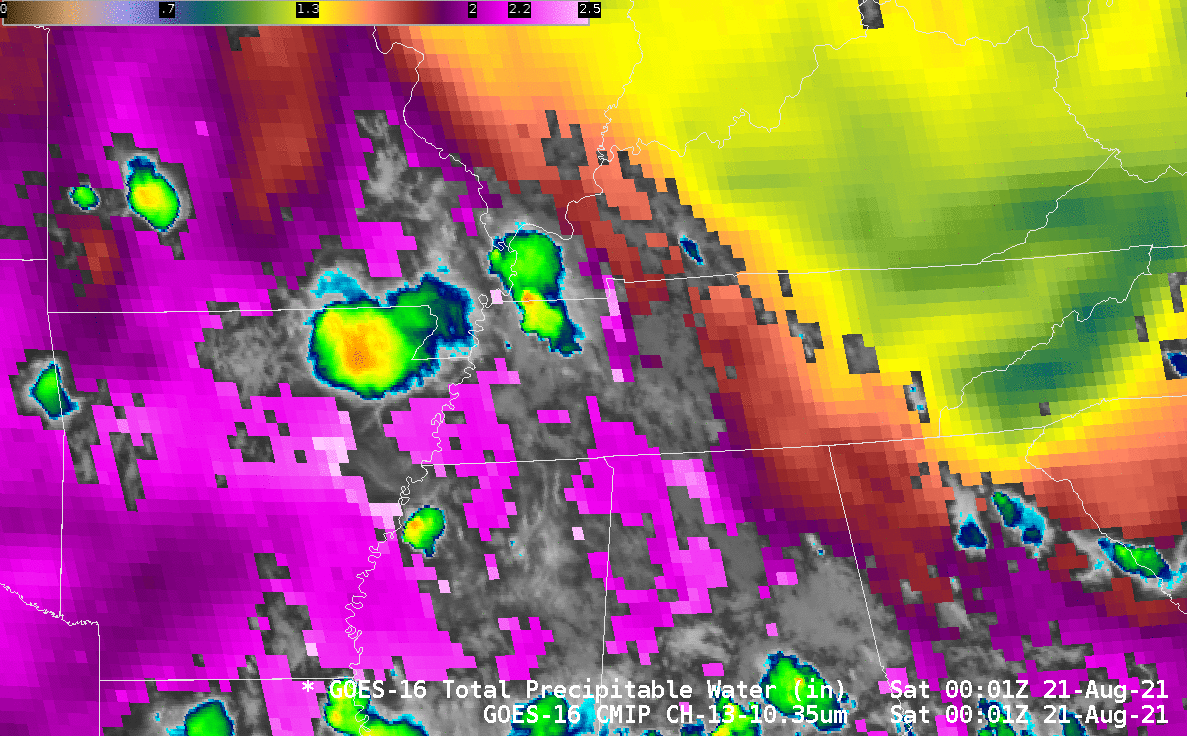
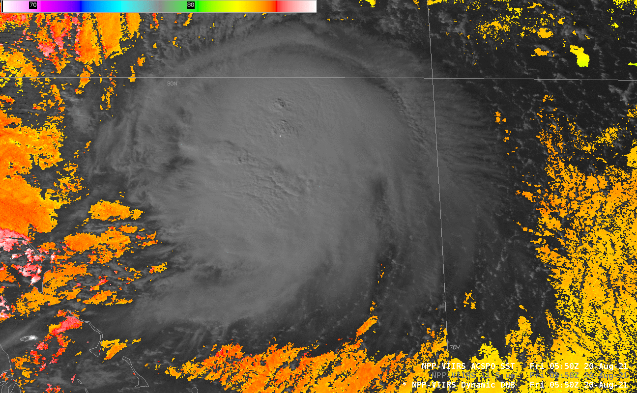
Tropical Storm Henri intensified to become a hurricane at 1500 UTC on 21 August 2021  — and 1–minute Mesoscale Domain Sector GOES-16 (GOES-East) “Red” Visible (0.64 µm) images and “Clean” Infrared Window (10.35 µm) images (above) showed Henri during the 1400-2300 UTC period. Visible images indicated that a small-diameter inner core began to form later in the day.Henri was moving... Read More

Tropical Storm Henri just north of the Bahamas

GOES-16 Visible Imagery, above, shows Tropical Storm Henri east of Florida and to the north of the Bahamas. Cirrus outflow is well-developed to the east and south, but the storm is sheared; the surface circulation is near the northwestern edge of the ongoing deep convection. Persistent northerly shear, as shown... Read More

Tropical Storm Fred makes landfall in Florida

1–minute Mesoscale Domain Sector GOES-16 (GOES-East) “Red” Visible (0.64 µm) and “Clean” Infrared Window (10.35 µm) images (above) showed Tropical Storm Fred during the 8-hour period leading up to it making landfall along the panhandle of Florida around 1915 UTC on 16 August 2021. Multiple convective bursts developed near the storm center, with some exhibiting cloud-top infrared brightness temperatures of -80ºC or colder (violet pixels).... Read More