This website works best with a newer web browser such as Chrome, Firefox, Safari or Microsoft Edge. Internet Explorer is not supported by this website.

Category: VIIRS

Tropical Storm Kate loses convection

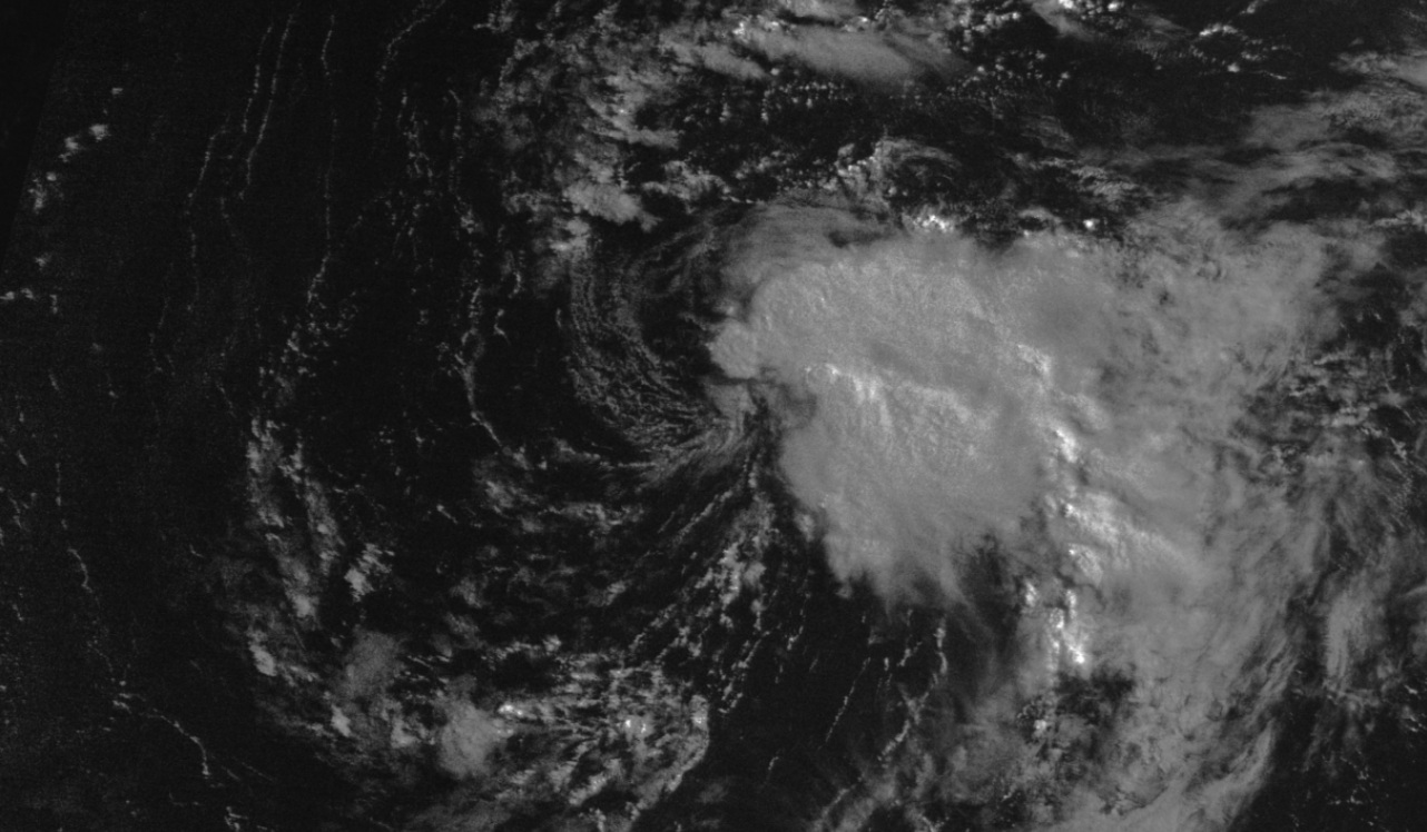
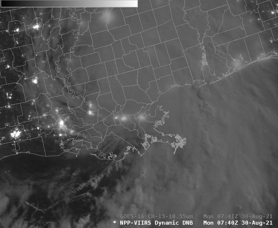
The animation above, of GOES-16 Visible (0.64 µm) imagery, shows Tropical Storm Kate at sunrise with convection near the storm center and to its east. (An overnight image from Suomi NPP’s Day Night Band, below, taken from NASA Worldview, also shows convection near the storm center.) As the day progresses, however,... Read More

Day Night Band imagery after Ida

Day Night Band imagery from the VIIRS (Visible Infrared Imaging Radio-Spectrometer) instrument on Suomi NPP and NOAA-20 allows satellite-borne estimates of power outages after strong storms. The imagery from Suomi NPP (0740 UTC) and NOAA-20 (0830 UTC) (orbital paths can be viewed here) shows a sharp reduction in the amount... Read More

Northern California fires

The 2021 northern California wild fire season is still active. It is difficult to see smoke using the VIIRS SNPP day night band (0.7 micron) at night, but there are visible bright spots of the Caldor Fire near Lake Tahoe. The VIIRS I04 (3.74 micron) band shows bright spots of... Read More