A CALIFORNIA CASESTUDY continued
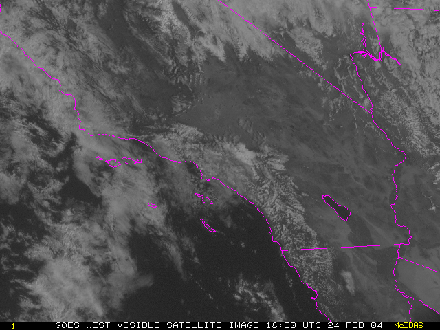
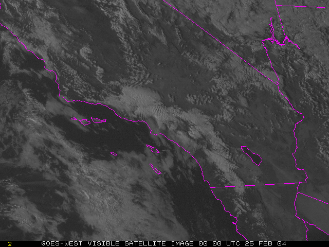
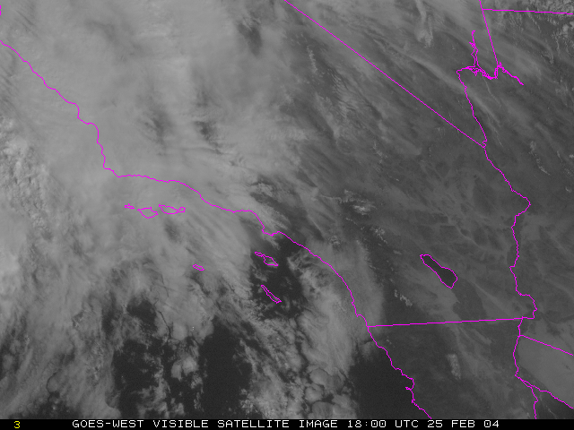
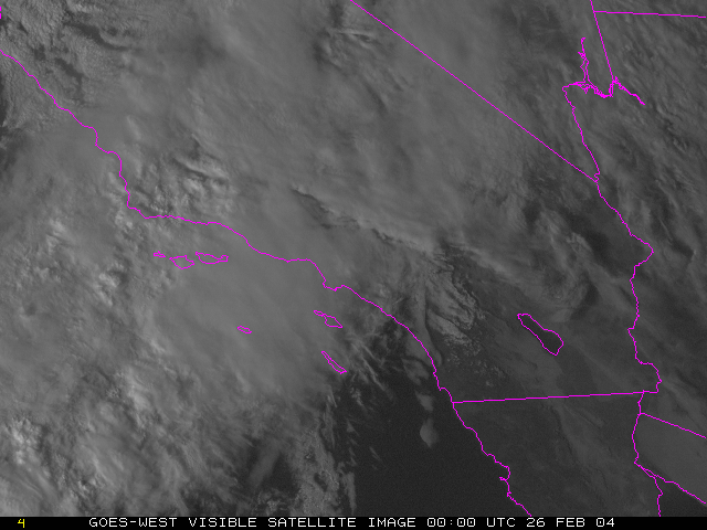
The lack of surface observations over the ocean is a significant forecast challenge on the west coast of the United States. It should be obvious how important satellite images are for weather forecasters.
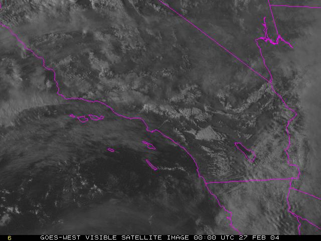
Let's look at some more information about this storm. Here are a series of visible satellite images that are closer up than the IR images.
Here is a loop showing the images every 6 hours.