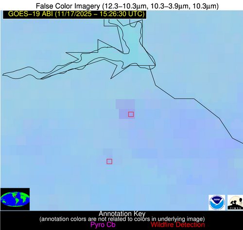
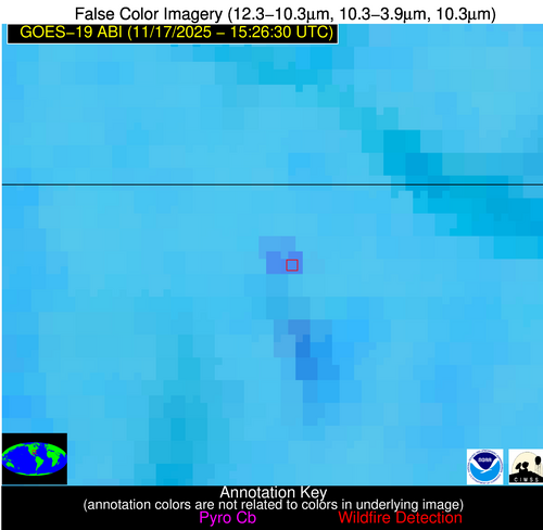
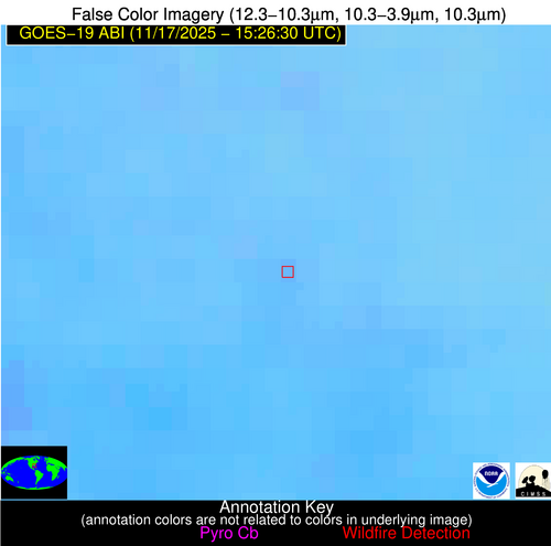
Wildfire Alert Report
| Date: | 2025-11-17 |
|---|---|
| Time: | 15:26:17 |
| Production Date and Time: | 2025-11-17 15:31:18 UTC |
| Primary Instrument: | GOES-19 ABI |
| Wmo Spacecraft Id: | 666 |
| Location/orbit: | GEO |
| L1 File: | OR_ABI-L1b-RadC-M6C14_G19_s20253211526176_e20253211528549_c20253211529040.nc |
| L1 File(s) - Temporal | OR_ABI-L1b-RadC-M6C14_G19_s20253211521176_e20253211523549_c20253211524045.nc |
| Number Of Thermal Anomaly Alerts: | 4 |
Possible Wildfire
| Basic Information | |
|---|---|
| State/Province(s) | MN |
| Country/Countries | United States |
| County/Locality(s) | Clay County, MN |
| NWS WFO | Grand Forks ND |
| Identification Method | Enhanced Contextual (Clear) |
| Mean Object Date/Time | 2025-11-17 15:26:20UTC |
| Radiative Center (Lat, Lon): | 47.033890°, -96.486115° |
| Nearby Counties (meeting alert criteria): |
|
| Total Radiative Power Anomaly | n/a |
| Total Radiative Power | 32.50 MW |
| Map: | |
| Additional Information | |
| Alert Status | New Feature |
| Type of Event | Nominal Risk |
| Event Priority Ranking | 4 |
| Maximum Observed BT (3.9 um) | 286.04 K |
| Observed - Background BT (3.9 um) | 7.99 K |
| BT Anomaly (3.9 um) | 7.21 K |
| Maximum Observed - Clear RTM BT (3.9 um) | 12.66 K |
| Maximum Observed BTD (3.9-10/11/12 um) | 13.61 K |
| Observed - Background BTD (3.9-10/11/12 um) | 7.37 K |
| BTD Anomaly (3.9-10/11/12 um) | 9.45 K |
| Similar Pixel Count | 2 |
| BT Time Tendency (3.9 um) | 1.90 K |
| Image Interval | 5.00 minutes |
| Fraction of Surrounding LWIR Pixels that are Colder | 0.94 |
| Fraction of Surrounding Red Channel Pixels that are Brighter | 0.88 |
| Maximum Radiative Power | 16.52 MW |
| Maximum Radiative Power Uncertainty | 0.00 MW |
| Total Radiative Power Uncertainty | 0.00 MW |
| Mean Viewing Angle | 58.30° |
| Mean Solar Zenith Angle | 75.40° |
| Mean Glint Angle | 132.30° |
| Water Fraction | 0.00 |
| Total Pixel Area | 15.20 km2 |
| Latest Satellite Imagery: | |
| View all event imagery » | |
Possible Wildfire
| Basic Information | |
|---|---|
| State/Province(s) | GA |
| Country/Countries | United States |
| County/Locality(s) | Columbia County, GA |
| NWS WFO | Columbia SC |
| Identification Method | Enhanced Contextual (Clear) |
| Mean Object Date/Time | 2025-11-17 15:27:22UTC |
| Radiative Center (Lat, Lon): | 33.543335°, -82.246948° |
| Nearby Counties (meeting alert criteria): |
|
| Total Radiative Power Anomaly | n/a |
| Total Radiative Power | 21.00 MW |
| Map: | |
| Additional Information | |
| Alert Status | New Feature |
| Type of Event | Nominal Risk |
| Event Priority Ranking | 4 |
| Maximum Observed BT (3.9 um) | 296.61 K |
| Observed - Background BT (3.9 um) | 4.74 K |
| BT Anomaly (3.9 um) | 2.47 K |
| Maximum Observed - Clear RTM BT (3.9 um) | 8.92 K |
| Maximum Observed BTD (3.9-10/11/12 um) | 8.39 K |
| Observed - Background BTD (3.9-10/11/12 um) | 4.76 K |
| BTD Anomaly (3.9-10/11/12 um) | 5.38 K |
| Similar Pixel Count | 4 |
| BT Time Tendency (3.9 um) | 3.30 K |
| Image Interval | 5.00 minutes |
| Fraction of Surrounding LWIR Pixels that are Colder | 0.51 |
| Fraction of Surrounding Red Channel Pixels that are Brighter | 0.98 |
| Maximum Radiative Power | 11.15 MW |
| Maximum Radiative Power Uncertainty | 0.00 MW |
| Total Radiative Power Uncertainty | 0.00 MW |
| Mean Viewing Angle | 39.90° |
| Mean Solar Zenith Angle | 58.20° |
| Mean Glint Angle | 96.60° |
| Water Fraction | 0.00 |
| Total Pixel Area | 10.40 km2 |
| Latest Satellite Imagery: | |
| View all event imagery » | |
Possible Wildfire
| Basic Information | |
|---|---|
| State/Province(s) | FL |
| Country/Countries | United States |
| County/Locality(s) | Okaloosa County, FL |
| NWS WFO | Mobile AL |
| Identification Method | Enhanced Contextual (Clear) |
| Mean Object Date/Time | 2025-11-17 15:27:21UTC |
| Radiative Center (Lat, Lon): | 30.911388°, -86.740555° |
| Nearby Counties (meeting alert criteria): |
|
| Total Radiative Power Anomaly | n/a |
| Total Radiative Power | 39.30 MW |
| Map: | |
| Additional Information | |
| Alert Status | New Feature |
| Type of Event | Nominal Risk |
| Event Priority Ranking | 4 |
| Maximum Observed BT (3.9 um) | 301.35 K |
| Observed - Background BT (3.9 um) | 7.65 K |
| BT Anomaly (3.9 um) | 6.61 K |
| Maximum Observed - Clear RTM BT (3.9 um) | 9.84 K |
| Maximum Observed BTD (3.9-10/11/12 um) | 14.05 K |
| Observed - Background BTD (3.9-10/11/12 um) | 7.56 K |
| BTD Anomaly (3.9-10/11/12 um) | 7.25 K |
| Similar Pixel Count | 3 |
| BT Time Tendency (3.9 um) | 4.60 K |
| Image Interval | 5.00 minutes |
| Fraction of Surrounding LWIR Pixels that are Colder | 0.59 |
| Fraction of Surrounding Red Channel Pixels that are Brighter | 1.00 |
| Maximum Radiative Power | 20.78 MW |
| Maximum Radiative Power Uncertainty | 0.00 MW |
| Total Radiative Power Uncertainty | 0.00 MW |
| Mean Viewing Angle | 38.30° |
| Mean Solar Zenith Angle | 58.10° |
| Mean Glint Angle | 95.50° |
| Water Fraction | 0.00 |
| Total Pixel Area | 10.20 km2 |
| Latest Satellite Imagery: | |
| View all event imagery » | |
Possible Wildfire
| Basic Information | |
|---|---|
| State/Province(s) | FL |
| Country/Countries | United States |
| County/Locality(s) | Columbia County, FL |
| NWS WFO | Jacksonville FL |
| Identification Method | Enhanced Contextual (Clear) |
| Mean Object Date/Time | 2025-11-17 15:27:22UTC |
| Radiative Center (Lat, Lon): | 30.252777°, -82.730553° |
| Nearby Counties (meeting alert criteria): |
|
| Total Radiative Power Anomaly | n/a |
| Total Radiative Power | 4.40 MW |
| Map: | |
| Additional Information | |
| Alert Status | New Feature |
| Type of Event | Nominal Risk |
| Event Priority Ranking | 4 |
| Maximum Observed BT (3.9 um) | 298.56 K |
| Observed - Background BT (3.9 um) | 2.24 K |
| BT Anomaly (3.9 um) | 1.24 K |
| Maximum Observed - Clear RTM BT (3.9 um) | 7.95 K |
| Maximum Observed BTD (3.9-10/11/12 um) | 6.92 K |
| Observed - Background BTD (3.9-10/11/12 um) | 2.02 K |
| BTD Anomaly (3.9-10/11/12 um) | 2.43 K |
| Similar Pixel Count | 22 |
| BT Time Tendency (3.9 um) | 1.00 K |
| Image Interval | 5.00 minutes |
| Fraction of Surrounding LWIR Pixels that are Colder | 0.60 |
| Fraction of Surrounding Red Channel Pixels that are Brighter | 0.96 |
| Maximum Radiative Power | 4.40 MW |
| Maximum Radiative Power Uncertainty | 0.00 MW |
| Total Radiative Power Uncertainty | 0.00 MW |
| Mean Viewing Angle | 36.40° |
| Mean Solar Zenith Angle | 55.60° |
| Mean Glint Angle | 90.70° |
| Water Fraction | 0.00 |
| Total Pixel Area | 5.00 km2 |
| Latest Satellite Imagery: | |
| View all event imagery » | |


