Wildfire Alert Report
| Date: | 2025-11-16 |
|---|---|
| Time: | 02:21:17 |
| Production Date and Time: | 2025-11-16 02:26:10 UTC |
| Primary Instrument: | GOES-19 ABI |
| Wmo Spacecraft Id: | 666 |
| Location/orbit: | GEO |
| L1 File: | OR_ABI-L1b-RadC-M6C14_G19_s20253200221174_e20253200223547_c20253200224038.nc |
| L1 File(s) - Temporal | OR_ABI-L1b-RadC-M6C14_G19_s20253200216174_e20253200218547_c20253200219039.nc |
| Number Of Thermal Anomaly Alerts: | 5 |
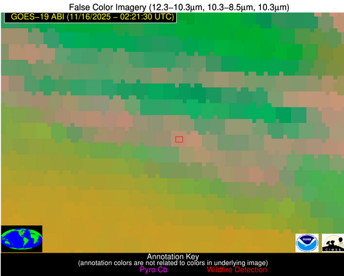
Possible Wildfire
| Basic Information | |
|---|---|
| State/Province(s) | ND |
| Country/Countries | United States |
| County/Locality(s) | Griggs County, ND |
| NWS WFO | Grand Forks ND |
| Identification Method | Enhanced Contextual (Clear) |
| Mean Object Date/Time | 2025-11-16 02:21:20UTC |
| Radiative Center (Lat, Lon): | 47.478611°, -98.119164° |
| Nearby Counties (meeting alert criteria): |
|
| Total Radiative Power Anomaly | n/a |
| Total Radiative Power | 11.69 MW |
| Map: | |
| Additional Information | |
| Alert Status | New Feature |
| Type of Event | Nominal Risk |
| Event Priority Ranking | 4 |
| Maximum Observed BT (3.9 um) | 274.42 K |
| Observed - Background BT (3.9 um) | 8.70 K |
| BT Anomaly (3.9 um) | 14.29 K |
| Maximum Observed - Clear RTM BT (3.9 um) | 5.84 K |
| Maximum Observed BTD (3.9-10/11/12 um) | 8.73 K |
| Observed - Background BTD (3.9-10/11/12 um) | 7.71 K |
| BTD Anomaly (3.9-10/11/12 um) | 22.41 K |
| Similar Pixel Count | 2 |
| BT Time Tendency (3.9 um) | 4.20 K |
| Image Interval | 5.00 minutes |
| Fraction of Surrounding LWIR Pixels that are Colder | 0.99 |
| Fraction of Surrounding Red Channel Pixels that are Brighter | 1.00 |
| Maximum Radiative Power | 11.69 MW |
| Maximum Radiative Power Uncertainty | 0.00 MW |
| Total Radiative Power Uncertainty | 0.00 MW |
| Mean Viewing Angle | 59.30° |
| Mean Solar Zenith Angle | 124.30° |
| Mean Glint Angle | 80.30° |
| Water Fraction | 0.00 |
| Total Pixel Area | 7.80 km2 |
| Latest Satellite Imagery: | |
| View all event imagery » | |
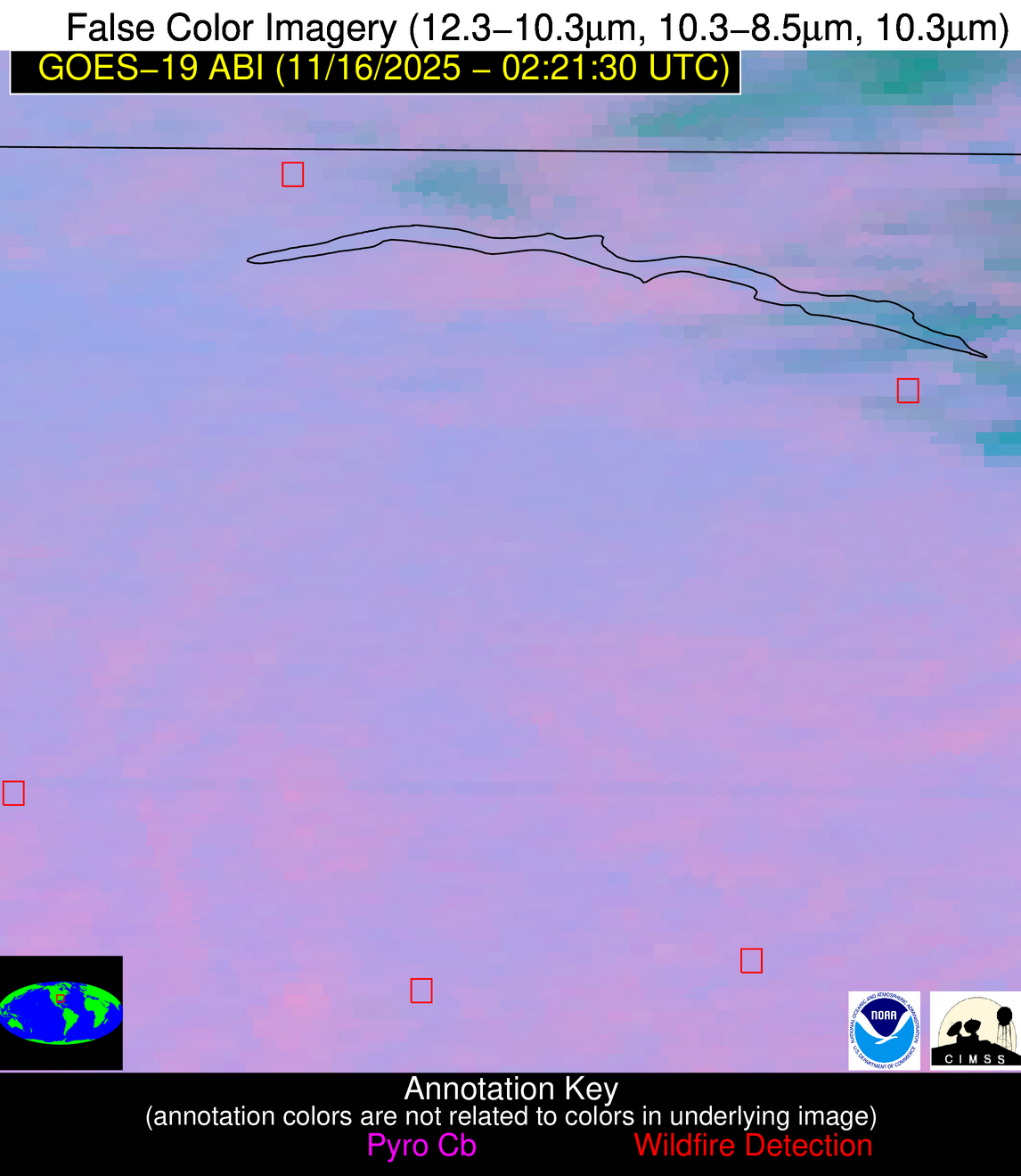
Possible Wildfire
| Basic Information | |
|---|---|
| State/Province(s) | IL |
| Country/Countries | United States |
| County/Locality(s) | Wayne County, IL |
| NWS WFO | Paducah KY |
| Identification Method | Enhanced Contextual (Clear) |
| Mean Object Date/Time | 2025-11-16 02:21:51UTC |
| Radiative Center (Lat, Lon): | 38.521667°, -88.186668° |
| Nearby Counties (meeting alert criteria): |
|
| Total Radiative Power Anomaly | n/a |
| Total Radiative Power | 4.27 MW |
| Map: | |
| Additional Information | |
| Alert Status | New Feature |
| Type of Event | Nominal Risk |
| Event Priority Ranking | 4 |
| Maximum Observed BT (3.9 um) | 285.77 K |
| Observed - Background BT (3.9 um) | 2.07 K |
| BT Anomaly (3.9 um) | 2.96 K |
| Maximum Observed - Clear RTM BT (3.9 um) | 0.01 K |
| Maximum Observed BTD (3.9-10/11/12 um) | 3.18 K |
| Observed - Background BTD (3.9-10/11/12 um) | 2.18 K |
| BTD Anomaly (3.9-10/11/12 um) | 6.97 K |
| Similar Pixel Count | 1 |
| BT Time Tendency (3.9 um) | 0.30 K |
| Image Interval | 5.00 minutes |
| Fraction of Surrounding LWIR Pixels that are Colder | 0.39 |
| Fraction of Surrounding Red Channel Pixels that are Brighter | 1.00 |
| Maximum Radiative Power | 4.27 MW |
| Maximum Radiative Power Uncertainty | 0.00 MW |
| Total Radiative Power Uncertainty | 0.00 MW |
| Mean Viewing Angle | 46.90° |
| Mean Solar Zenith Angle | 133.20° |
| Mean Glint Angle | 101.00° |
| Water Fraction | 0.00 |
| Total Pixel Area | 5.90 km2 |
| Latest Satellite Imagery: | |
| View all event imagery » | |
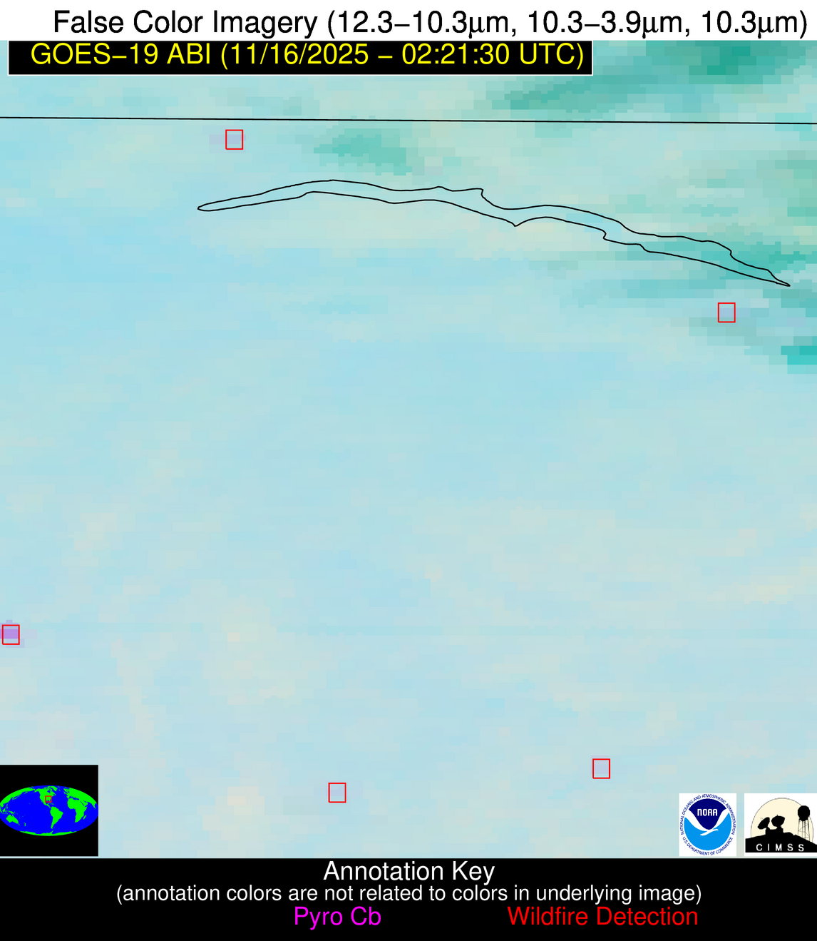
Possible Wildfire
| Basic Information | |
|---|---|
| State/Province(s) | AL |
| Country/Countries | United States |
| County/Locality(s) | Lauderdale County, AL |
| NWS WFO | Huntsville AL |
| Identification Method | Enhanced Contextual (Clear) |
| Mean Object Date/Time | 2025-11-16 02:22:21UTC |
| Radiative Center (Lat, Lon): | 34.955276°, -87.650833° |
| Nearby Counties (meeting alert criteria): |
|
| Total Radiative Power Anomaly | n/a |
| Total Radiative Power | 6.07 MW |
| Map: | |
| Additional Information | |
| Alert Status | New Feature |
| Type of Event | Nominal Risk |
| Event Priority Ranking | 4 |
| Maximum Observed BT (3.9 um) | 288.98 K |
| Observed - Background BT (3.9 um) | 2.90 K |
| BT Anomaly (3.9 um) | 3.91 K |
| Maximum Observed - Clear RTM BT (3.9 um) | 2.20 K |
| Maximum Observed BTD (3.9-10/11/12 um) | 3.38 K |
| Observed - Background BTD (3.9-10/11/12 um) | 2.83 K |
| BTD Anomaly (3.9-10/11/12 um) | 6.44 K |
| Similar Pixel Count | 2 |
| BT Time Tendency (3.9 um) | 2.80 K |
| Image Interval | 5.00 minutes |
| Fraction of Surrounding LWIR Pixels that are Colder | 0.54 |
| Fraction of Surrounding Red Channel Pixels that are Brighter | 1.00 |
| Maximum Radiative Power | 6.07 MW |
| Maximum Radiative Power Uncertainty | 0.00 MW |
| Total Radiative Power Uncertainty | 0.00 MW |
| Mean Viewing Angle | 42.90° |
| Mean Solar Zenith Angle | 134.20° |
| Mean Glint Angle | 105.80° |
| Water Fraction | 0.00 |
| Total Pixel Area | 5.50 km2 |
| Latest Satellite Imagery: | |
| View all event imagery » | |
Possible Wildfire
| Basic Information | |
|---|---|
| State/Province(s) | AL |
| Country/Countries | United States |
| County/Locality(s) | Tuscaloosa County, AL |
| NWS WFO | Birmingham AL |
| Identification Method | Enhanced Contextual (Clear) |
| Mean Object Date/Time | 2025-11-16 02:22:21UTC |
| Radiative Center (Lat, Lon): | 33.290833°, -87.153610° |
| Nearby Counties (meeting alert criteria): |
|
| Total Radiative Power Anomaly | n/a |
| Total Radiative Power | 4.04 MW |
| Map: | |
| Additional Information | |
| Alert Status | New Feature |
| Type of Event | Nominal Risk |
| Event Priority Ranking | 4 |
| Maximum Observed BT (3.9 um) | 289.40 K |
| Observed - Background BT (3.9 um) | 2.66 K |
| BT Anomaly (3.9 um) | 4.34 K |
| Maximum Observed - Clear RTM BT (3.9 um) | 3.45 K |
| Maximum Observed BTD (3.9-10/11/12 um) | 2.14 K |
| Observed - Background BTD (3.9-10/11/12 um) | 2.20 K |
| BTD Anomaly (3.9-10/11/12 um) | 11.49 K |
| Similar Pixel Count | 2 |
| BT Time Tendency (3.9 um) | 0.40 K |
| Image Interval | 5.00 minutes |
| Fraction of Surrounding LWIR Pixels that are Colder | 0.85 |
| Fraction of Surrounding Red Channel Pixels that are Brighter | 1.00 |
| Maximum Radiative Power | 4.04 MW |
| Maximum Radiative Power Uncertainty | 0.00 MW |
| Total Radiative Power Uncertainty | 0.00 MW |
| Mean Viewing Angle | 41.00° |
| Mean Solar Zenith Angle | 134.80° |
| Mean Glint Angle | 108.30° |
| Water Fraction | 0.00 |
| Total Pixel Area | 5.30 km2 |
| Latest Satellite Imagery: | |
| View all event imagery » | |
Possible Wildfire
| Basic Information | |
|---|---|
| State/Province(s) | MS |
| Country/Countries | United States |
| County/Locality(s) | Scott County, MS |
| NWS WFO | Jackson MS |
| Identification Method | Enhanced Contextual (Clear) |
| Mean Object Date/Time | 2025-11-16 02:22:21UTC |
| Radiative Center (Lat, Lon): | 32.392502°, -89.479446° |
| Nearby Counties (meeting alert criteria): |
|
| Total Radiative Power Anomaly | n/a |
| Total Radiative Power | 5.58 MW |
| Map: | |
| Additional Information | |
| Alert Status | New Feature |
| Type of Event | Nominal Risk |
| Event Priority Ranking | 4 |
| Maximum Observed BT (3.9 um) | 290.23 K |
| Observed - Background BT (3.9 um) | 2.88 K |
| BT Anomaly (3.9 um) | 4.37 K |
| Maximum Observed - Clear RTM BT (3.9 um) | 3.19 K |
| Maximum Observed BTD (3.9-10/11/12 um) | 2.30 K |
| Observed - Background BTD (3.9-10/11/12 um) | 2.69 K |
| BTD Anomaly (3.9-10/11/12 um) | 9.93 K |
| Similar Pixel Count | 1 |
| BT Time Tendency (3.9 um) | 0.60 K |
| Image Interval | 5.00 minutes |
| Fraction of Surrounding LWIR Pixels that are Colder | 0.68 |
| Fraction of Surrounding Red Channel Pixels that are Brighter | 1.00 |
| Maximum Radiative Power | 5.58 MW |
| Maximum Radiative Power Uncertainty | 0.00 MW |
| Total Radiative Power Uncertainty | 0.00 MW |
| Mean Viewing Angle | 40.90° |
| Mean Solar Zenith Angle | 132.90° |
| Mean Glint Angle | 106.00° |
| Water Fraction | 0.00 |
| Total Pixel Area | 5.30 km2 |
| Latest Satellite Imagery: | |
| View all event imagery » | |


