Wildfire Alert Report
| Date: | 2025-11-07 |
|---|---|
| Time: | 20:26:18 |
| Production Date and Time: | 2025-11-07 20:31:17 UTC |
| Primary Instrument: | GOES-19 ABI |
| Wmo Spacecraft Id: | 666 |
| Location/orbit: | GEO |
| L1 File: | OR_ABI-L1b-RadC-M6C14_G19_s20253112026180_e20253112028554_c20253112029036.nc |
| L1 File(s) - Temporal | OR_ABI-L1b-RadC-M6C14_G19_s20253112021180_e20253112023554_c20253112024049.nc |
| Number Of Thermal Anomaly Alerts: | 7 |
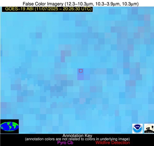
Possible Wildfire
| Basic Information | |
|---|---|
| State/Province(s) | Manitoba |
| Country/Countries | Canada |
| County/Locality(s) | Division No. 18, Manitoba |
| NWS WFO | N/A |
| Identification Method | Enhanced Contextual (Clear) |
| Mean Object Date/Time | 2025-11-07 20:26:22UTC |
| Radiative Center (Lat, Lon): | 51.108612°, -97.146385° |
| Nearby Counties (meeting alert criteria): |
|
| Total Radiative Power Anomaly | n/a |
| Total Radiative Power | 35.93 MW |
| Map: | |
| Additional Information | |
| Alert Status | New Feature |
| Type of Event | Nominal Risk |
| Event Priority Ranking | 4 |
| Maximum Observed BT (3.9 um) | 280.89 K |
| Observed - Background BT (3.9 um) | 9.56 K |
| BT Anomaly (3.9 um) | 6.16 K |
| Maximum Observed - Clear RTM BT (3.9 um) | 12.81 K |
| Maximum Observed BTD (3.9-10/11/12 um) | 12.96 K |
| Observed - Background BTD (3.9-10/11/12 um) | 9.48 K |
| BTD Anomaly (3.9-10/11/12 um) | 9.01 K |
| Similar Pixel Count | 3 |
| BT Time Tendency (3.9 um) | 4.30 K |
| Image Interval | 5.00 minutes |
| Fraction of Surrounding LWIR Pixels that are Colder | 0.67 |
| Fraction of Surrounding Red Channel Pixels that are Brighter | 0.62 |
| Maximum Radiative Power | 18.56 MW |
| Maximum Radiative Power Uncertainty | 0.00 MW |
| Total Radiative Power Uncertainty | 0.00 MW |
| Mean Viewing Angle | 62.50° |
| Mean Solar Zenith Angle | 73.30° |
| Mean Glint Angle | 106.20° |
| Water Fraction | 0.00 |
| Total Pixel Area | 17.30 km2 |
| Latest Satellite Imagery: | |
| View all event imagery » | |
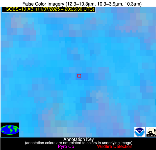
Possible Wildfire
| Basic Information | |
|---|---|
| State/Province(s) | Ontario |
| Country/Countries | Canada |
| County/Locality(s) | Kenora, Ontario |
| NWS WFO | N/A |
| Identification Method | Enhanced Contextual (Clear) |
| Mean Object Date/Time | 2025-11-07 20:26:22UTC |
| Radiative Center (Lat, Lon): | 49.807777°, -91.297226° |
| Nearby Counties (meeting alert criteria): |
|
| Total Radiative Power Anomaly | n/a |
| Total Radiative Power | 20.49 MW |
| Map: | |
| Additional Information | |
| Alert Status | New Feature |
| Type of Event | Nominal Risk |
| Event Priority Ranking | 4 |
| Maximum Observed BT (3.9 um) | 275.98 K |
| Observed - Background BT (3.9 um) | 8.50 K |
| BT Anomaly (3.9 um) | 9.75 K |
| Maximum Observed - Clear RTM BT (3.9 um) | 10.41 K |
| Maximum Observed BTD (3.9-10/11/12 um) | 10.37 K |
| Observed - Background BTD (3.9-10/11/12 um) | 8.82 K |
| BTD Anomaly (3.9-10/11/12 um) | 25.01 K |
| Similar Pixel Count | 2 |
| BT Time Tendency (3.9 um) | 8.90 K |
| Image Interval | 5.00 minutes |
| Fraction of Surrounding LWIR Pixels that are Colder | 0.31 |
| Fraction of Surrounding Red Channel Pixels that are Brighter | 1.00 |
| Maximum Radiative Power | 20.49 MW |
| Maximum Radiative Power Uncertainty | 0.00 MW |
| Total Radiative Power Uncertainty | 0.00 MW |
| Mean Viewing Angle | 59.50° |
| Mean Solar Zenith Angle | 74.40° |
| Mean Glint Angle | 106.20° |
| Water Fraction | 0.00 |
| Total Pixel Area | 15.70 km2 |
| Latest Satellite Imagery: | |
| View all event imagery » | |
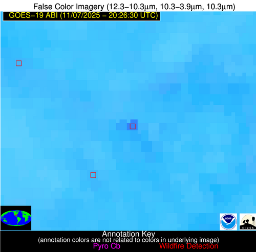
Possible Wildfire
| Basic Information | |
|---|---|
| State/Province(s) | NC |
| Country/Countries | United States |
| County/Locality(s) | Sampson County, NC |
| NWS WFO | Raleigh NC |
| Identification Method | Enhanced Contextual (Clear) |
| Mean Object Date/Time | 2025-11-07 20:27:23UTC |
| Radiative Center (Lat, Lon): | 35.068054°, -78.569725° |
| Nearby Counties (meeting alert criteria): |
|
| Total Radiative Power Anomaly | n/a |
| Total Radiative Power | 30.80 MW |
| Map: | |
| Additional Information | |
| Alert Status | New Feature |
| Type of Event | Nominal Risk |
| Event Priority Ranking | 4 |
| Maximum Observed BT (3.9 um) | 299.54 K |
| Observed - Background BT (3.9 um) | 5.74 K |
| BT Anomaly (3.9 um) | 9.78 K |
| Maximum Observed - Clear RTM BT (3.9 um) | 8.72 K |
| Maximum Observed BTD (3.9-10/11/12 um) | 10.76 K |
| Observed - Background BTD (3.9-10/11/12 um) | 4.97 K |
| BTD Anomaly (3.9-10/11/12 um) | 5.03 K |
| Similar Pixel Count | 6 |
| BT Time Tendency (3.9 um) | 5.80 K |
| Image Interval | 5.00 minutes |
| Fraction of Surrounding LWIR Pixels that are Colder | 0.80 |
| Fraction of Surrounding Red Channel Pixels that are Brighter | 1.00 |
| Maximum Radiative Power | 16.02 MW |
| Maximum Radiative Power Uncertainty | 0.00 MW |
| Total Radiative Power Uncertainty | 0.00 MW |
| Mean Viewing Angle | 41.10° |
| Mean Solar Zenith Angle | 71.10° |
| Mean Glint Angle | 94.30° |
| Water Fraction | 0.00 |
| Total Pixel Area | 10.60 km2 |
| Latest Satellite Imagery: | |
| View all event imagery » | |
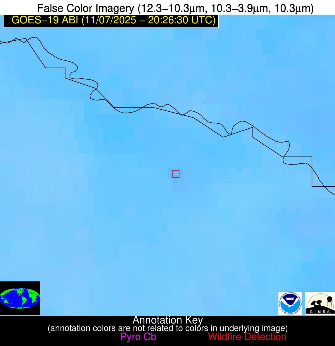
Possible Wildfire
| Basic Information | |
|---|---|
| State/Province(s) | AL |
| Country/Countries | United States |
| County/Locality(s) | Marengo County, AL |
| NWS WFO | Birmingham AL |
| Identification Method | Enhanced Contextual (Clear) |
| Mean Object Date/Time | 2025-11-07 20:27:22UTC |
| Radiative Center (Lat, Lon): | 32.468056°, -87.590553° |
| Nearby Counties (meeting alert criteria): |
|
| Total Radiative Power Anomaly | n/a |
| Total Radiative Power | 29.51 MW |
| Map: | |
| Additional Information | |
| Alert Status | New Feature |
| Type of Event | Nominal Risk |
| Event Priority Ranking | 4 |
| Maximum Observed BT (3.9 um) | 302.50 K |
| Observed - Background BT (3.9 um) | 5.29 K |
| BT Anomaly (3.9 um) | 4.97 K |
| Maximum Observed - Clear RTM BT (3.9 um) | 10.66 K |
| Maximum Observed BTD (3.9-10/11/12 um) | 12.98 K |
| Observed - Background BTD (3.9-10/11/12 um) | 4.70 K |
| BTD Anomaly (3.9-10/11/12 um) | 5.13 K |
| Similar Pixel Count | 18 |
| BT Time Tendency (3.9 um) | 3.90 K |
| Image Interval | 5.00 minutes |
| Fraction of Surrounding LWIR Pixels that are Colder | 0.77 |
| Fraction of Surrounding Red Channel Pixels that are Brighter | 0.81 |
| Maximum Radiative Power | 15.05 MW |
| Maximum Radiative Power Uncertainty | 0.00 MW |
| Total Radiative Power Uncertainty | 0.00 MW |
| Mean Viewing Angle | 40.30° |
| Mean Solar Zenith Angle | 63.70° |
| Mean Glint Angle | 82.30° |
| Water Fraction | 0.00 |
| Total Pixel Area | 10.50 km2 |
| Latest Satellite Imagery: | |
| View all event imagery » | |
Possible Wildfire
| Basic Information | |
|---|---|
| State/Province(s) | LA |
| Country/Countries | United States |
| County/Locality(s) | Avoyelles Parish, LA |
| NWS WFO | Lake Charles LA |
| Identification Method | Enhanced Contextual (Clear) |
| Mean Object Date/Time | 2025-11-07 20:27:21UTC |
| Radiative Center (Lat, Lon): | 30.920555°, -92.084724° |
| Nearby Counties (meeting alert criteria): |
|
| Total Radiative Power Anomaly | n/a |
| Total Radiative Power | 29.57 MW |
| Map: | |
| Additional Information | |
| Alert Status | New Feature |
| Type of Event | Nominal Risk |
| Event Priority Ranking | 4 |
| Maximum Observed BT (3.9 um) | 310.43 K |
| Observed - Background BT (3.9 um) | 9.50 K |
| BT Anomaly (3.9 um) | 7.72 K |
| Maximum Observed - Clear RTM BT (3.9 um) | 12.79 K |
| Maximum Observed BTD (3.9-10/11/12 um) | 15.47 K |
| Observed - Background BTD (3.9-10/11/12 um) | 8.77 K |
| BTD Anomaly (3.9-10/11/12 um) | 10.42 K |
| Similar Pixel Count | 1 |
| BT Time Tendency (3.9 um) | 7.60 K |
| Image Interval | 5.00 minutes |
| Fraction of Surrounding LWIR Pixels that are Colder | 0.89 |
| Fraction of Surrounding Red Channel Pixels that are Brighter | 0.87 |
| Maximum Radiative Power | 29.57 MW |
| Maximum Radiative Power Uncertainty | 0.00 MW |
| Total Radiative Power Uncertainty | 0.00 MW |
| Mean Viewing Angle | 40.60° |
| Mean Solar Zenith Angle | 59.90° |
| Mean Glint Angle | 76.70° |
| Water Fraction | 0.00 |
| Total Pixel Area | 5.30 km2 |
| Latest Satellite Imagery: | |
| View all event imagery » | |
Possible Wildfire
| Basic Information | |
|---|---|
| State/Province(s) | Tamaulipas |
| Country/Countries | Mexico |
| County/Locality(s) | Gustavo Díaz Ordaz, Tamaulipas |
| NWS WFO | N/A |
| Identification Method | Enhanced Contextual (Clear) |
| Mean Object Date/Time | 2025-11-07 20:27:50UTC |
| Radiative Center (Lat, Lon): | 26.137777°, -98.563057° |
| Nearby Counties (meeting alert criteria): |
|
| Total Radiative Power Anomaly | n/a |
| Total Radiative Power | 7.37 MW |
| Map: | |
| Additional Information | |
| Alert Status | New Feature |
| Type of Event | Nominal Risk |
| Event Priority Ranking | 4 |
| Maximum Observed BT (3.9 um) | 316.42 K |
| Observed - Background BT (3.9 um) | 3.20 K |
| BT Anomaly (3.9 um) | 2.41 K |
| Maximum Observed - Clear RTM BT (3.9 um) | 13.40 K |
| Maximum Observed BTD (3.9-10/11/12 um) | 6.83 K |
| Observed - Background BTD (3.9-10/11/12 um) | 2.08 K |
| BTD Anomaly (3.9-10/11/12 um) | 3.80 K |
| Similar Pixel Count | 24 |
| BT Time Tendency (3.9 um) | 0.10 K |
| Image Interval | 5.00 minutes |
| Fraction of Surrounding LWIR Pixels that are Colder | 0.77 |
| Fraction of Surrounding Red Channel Pixels that are Brighter | 1.00 |
| Maximum Radiative Power | 7.37 MW |
| Maximum Radiative Power Uncertainty | 0.00 MW |
| Total Radiative Power Uncertainty | 0.00 MW |
| Mean Viewing Angle | 40.30° |
| Mean Solar Zenith Angle | 52.50° |
| Mean Glint Angle | 65.40° |
| Water Fraction | 0.00 |
| Total Pixel Area | 5.20 km2 |
| Latest Satellite Imagery: | |
| View all event imagery » | |
Possible Wildfire
| Basic Information | |
|---|---|
| State/Province(s) | Tamaulipas |
| Country/Countries | Mexico |
| County/Locality(s) | Soto la Marina, Tamaulipas |
| NWS WFO | N/A |
| Identification Method | Enhanced Contextual (Clear) |
| Mean Object Date/Time | 2025-11-07 20:28:20UTC |
| Radiative Center (Lat, Lon): | 23.609167°, -98.052223° |
| Nearby Counties (meeting alert criteria): |
|
| Total Radiative Power Anomaly | n/a |
| Total Radiative Power | 10.16 MW |
| Map: | |
| Additional Information | |
| Alert Status | New Feature |
| Type of Event | Nominal Risk |
| Event Priority Ranking | 4 |
| Maximum Observed BT (3.9 um) | 307.29 K |
| Observed - Background BT (3.9 um) | 4.01 K |
| BT Anomaly (3.9 um) | 2.09 K |
| Maximum Observed - Clear RTM BT (3.9 um) | 8.63 K |
| Maximum Observed BTD (3.9-10/11/12 um) | 7.03 K |
| Observed - Background BTD (3.9-10/11/12 um) | 3.25 K |
| BTD Anomaly (3.9-10/11/12 um) | 3.96 K |
| Similar Pixel Count | 7 |
| BT Time Tendency (3.9 um) | 0.70 K |
| Image Interval | 5.00 minutes |
| Fraction of Surrounding LWIR Pixels that are Colder | 0.72 |
| Fraction of Surrounding Red Channel Pixels that are Brighter | 1.00 |
| Maximum Radiative Power | 10.16 MW |
| Maximum Radiative Power Uncertainty | 0.00 MW |
| Total Radiative Power Uncertainty | 0.00 MW |
| Mean Viewing Angle | 37.90° |
| Mean Solar Zenith Angle | 50.90° |
| Mean Glint Angle | 61.00° |
| Water Fraction | 0.00 |
| Total Pixel Area | 5.10 km2 |
| Latest Satellite Imagery: | |
| View all event imagery » | |


