Wildfire Alert Report
| Date: | 2025-11-06 |
|---|---|
| Time: | 17:11:17 |
| Production Date and Time: | 2025-11-06 17:16:22 UTC |
| Primary Instrument: | GOES-19 ABI |
| Wmo Spacecraft Id: | 666 |
| Location/orbit: | GEO |
| L1 File: | OR_ABI-L1b-RadC-M6C14_G19_s20253101711179_e20253101713552_c20253101714021.nc |
| L1 File(s) - Temporal | OR_ABI-L1b-RadC-M6C14_G19_s20253101706179_e20253101708552_c20253101709044.nc |
| Number Of Thermal Anomaly Alerts: | 5 |
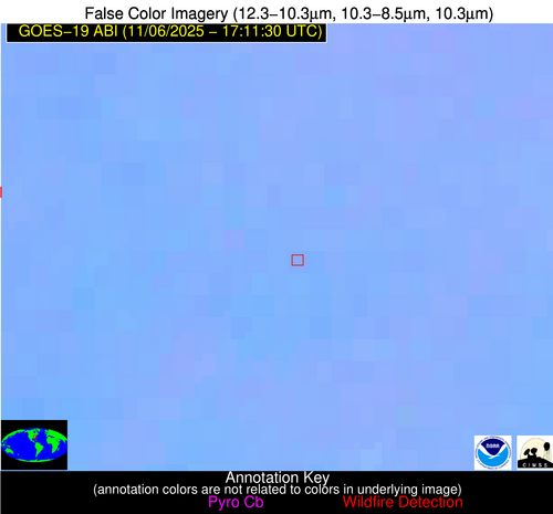
Possible Wildfire
| Basic Information | |
|---|---|
| State/Province(s) | NC |
| Country/Countries | United States |
| County/Locality(s) | Montgomery County, NC |
| NWS WFO | Raleigh NC |
| Identification Method | Enhanced Contextual (Clear) |
| Mean Object Date/Time | 2025-11-06 17:12:22UTC |
| Radiative Center (Lat, Lon): | 35.178055°, -80.019165° |
| Nearby Counties (meeting alert criteria): |
|
| Total Radiative Power Anomaly | n/a |
| Total Radiative Power | 18.17 MW |
| Map: | |
| Additional Information | |
| Alert Status | New Feature |
| Type of Event | Nominal Risk |
| Event Priority Ranking | 4 |
| Maximum Observed BT (3.9 um) | 301.03 K |
| Observed - Background BT (3.9 um) | 4.38 K |
| BT Anomaly (3.9 um) | 3.16 K |
| Maximum Observed - Clear RTM BT (3.9 um) | 12.42 K |
| Maximum Observed BTD (3.9-10/11/12 um) | 8.15 K |
| Observed - Background BTD (3.9-10/11/12 um) | 4.08 K |
| BTD Anomaly (3.9-10/11/12 um) | 6.11 K |
| Similar Pixel Count | 4 |
| BT Time Tendency (3.9 um) | 1.90 K |
| Image Interval | 5.00 minutes |
| Fraction of Surrounding LWIR Pixels that are Colder | 0.68 |
| Fraction of Surrounding Red Channel Pixels that are Brighter | 1.00 |
| Maximum Radiative Power | 9.99 MW |
| Maximum Radiative Power Uncertainty | 0.00 MW |
| Total Radiative Power Uncertainty | 0.00 MW |
| Mean Viewing Angle | 41.40° |
| Mean Solar Zenith Angle | 51.00° |
| Mean Glint Angle | 91.80° |
| Water Fraction | 0.00 |
| Total Pixel Area | 10.70 km2 |
| Latest Satellite Imagery: | |
| View all event imagery » | |
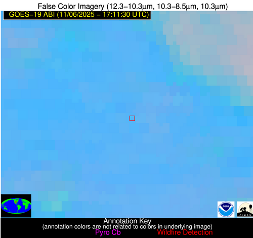
Possible Wildfire
| Basic Information | |
|---|---|
| State/Province(s) | AR |
| Country/Countries | United States |
| County/Locality(s) | Conway County, AR |
| NWS WFO | Little Rock AR |
| Identification Method | Enhanced Contextual (Clear) |
| Mean Object Date/Time | 2025-11-06 17:12:20UTC |
| Radiative Center (Lat, Lon): | 35.103333°, -92.967499° |
| Nearby Counties (meeting alert criteria): |
|
| Total Radiative Power Anomaly | n/a |
| Total Radiative Power | 22.61 MW |
| Map: | |
| Additional Information | |
| Alert Status | New Feature |
| Type of Event | Nominal Risk |
| Event Priority Ranking | 4 |
| Maximum Observed BT (3.9 um) | 302.80 K |
| Observed - Background BT (3.9 um) | 7.15 K |
| BT Anomaly (3.9 um) | 5.05 K |
| Maximum Observed - Clear RTM BT (3.9 um) | 11.42 K |
| Maximum Observed BTD (3.9-10/11/12 um) | 13.90 K |
| Observed - Background BTD (3.9-10/11/12 um) | 6.93 K |
| BTD Anomaly (3.9-10/11/12 um) | 5.17 K |
| Similar Pixel Count | 2 |
| BT Time Tendency (3.9 um) | 1.40 K |
| Image Interval | 5.00 minutes |
| Fraction of Surrounding LWIR Pixels that are Colder | 0.57 |
| Fraction of Surrounding Red Channel Pixels that are Brighter | 1.00 |
| Maximum Radiative Power | 22.61 MW |
| Maximum Radiative Power Uncertainty | 0.00 MW |
| Total Radiative Power Uncertainty | 0.00 MW |
| Mean Viewing Angle | 45.20° |
| Mean Solar Zenith Angle | 51.90° |
| Mean Glint Angle | 95.90° |
| Water Fraction | 0.00 |
| Total Pixel Area | 5.70 km2 |
| Latest Satellite Imagery: | |
| View all event imagery » | |
Possible Wildfire
| Basic Information | |
|---|---|
| State/Province(s) | MS |
| Country/Countries | United States |
| County/Locality(s) | Prentiss County, MS |
| NWS WFO | Memphis TN |
| Identification Method | Enhanced Contextual (Clear) |
| Mean Object Date/Time | 2025-11-06 17:12:21UTC |
| Radiative Center (Lat, Lon): | 34.535557°, -88.586388° |
| Nearby Counties (meeting alert criteria): |
|
| Total Radiative Power Anomaly | n/a |
| Total Radiative Power | 29.98 MW |
| Map: | |
| Additional Information | |
| Alert Status | New Feature |
| Type of Event | Nominal Risk |
| Event Priority Ranking | 4 |
| Maximum Observed BT (3.9 um) | 306.31 K |
| Observed - Background BT (3.9 um) | 8.38 K |
| BT Anomaly (3.9 um) | 5.96 K |
| Maximum Observed - Clear RTM BT (3.9 um) | 14.22 K |
| Maximum Observed BTD (3.9-10/11/12 um) | 15.72 K |
| Observed - Background BTD (3.9-10/11/12 um) | 8.69 K |
| BTD Anomaly (3.9-10/11/12 um) | 9.73 K |
| Similar Pixel Count | 2 |
| BT Time Tendency (3.9 um) | 8.20 K |
| Image Interval | 5.00 minutes |
| Fraction of Surrounding LWIR Pixels that are Colder | 0.32 |
| Fraction of Surrounding Red Channel Pixels that are Brighter | 1.00 |
| Maximum Radiative Power | 29.98 MW |
| Maximum Radiative Power Uncertainty | 0.00 MW |
| Total Radiative Power Uncertainty | 0.00 MW |
| Mean Viewing Angle | 42.80° |
| Mean Solar Zenith Angle | 50.70° |
| Mean Glint Angle | 92.50° |
| Water Fraction | 0.00 |
| Total Pixel Area | 5.50 km2 |
| Latest Satellite Imagery: | |
| View all event imagery » | |
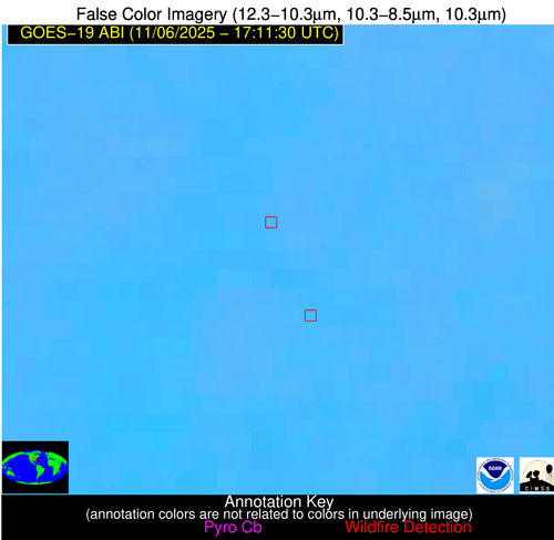
Possible Wildfire
| Basic Information | |
|---|---|
| State/Province(s) | MS |
| Country/Countries | United States |
| County/Locality(s) | Itawamba County, MS |
| NWS WFO | Memphis TN |
| Identification Method | Enhanced Contextual (Clear) |
| Mean Object Date/Time | 2025-11-06 17:12:21UTC |
| Radiative Center (Lat, Lon): | 34.411945°, -88.538887° |
| Nearby Counties (meeting alert criteria): |
|
| Total Radiative Power Anomaly | n/a |
| Total Radiative Power | 9.13 MW |
| Map: | |
| Additional Information | |
| Alert Status | New Feature |
| Type of Event | Nominal Risk |
| Event Priority Ranking | 4 |
| Maximum Observed BT (3.9 um) | 301.23 K |
| Observed - Background BT (3.9 um) | 3.35 K |
| BT Anomaly (3.9 um) | 2.33 K |
| Maximum Observed - Clear RTM BT (3.9 um) | 8.66 K |
| Maximum Observed BTD (3.9-10/11/12 um) | 10.18 K |
| Observed - Background BTD (3.9-10/11/12 um) | 3.07 K |
| BTD Anomaly (3.9-10/11/12 um) | 2.85 K |
| Similar Pixel Count | 20 |
| BT Time Tendency (3.9 um) | 1.20 K |
| Image Interval | 5.00 minutes |
| Fraction of Surrounding LWIR Pixels that are Colder | 0.50 |
| Fraction of Surrounding Red Channel Pixels that are Brighter | 1.00 |
| Maximum Radiative Power | 9.13 MW |
| Maximum Radiative Power Uncertainty | 0.00 MW |
| Total Radiative Power Uncertainty | 0.00 MW |
| Mean Viewing Angle | 42.70° |
| Mean Solar Zenith Angle | 50.60° |
| Mean Glint Angle | 92.30° |
| Water Fraction | 0.00 |
| Total Pixel Area | 5.40 km2 |
| Latest Satellite Imagery: | |
| View all event imagery » | |
Possible Wildfire
| Basic Information | |
|---|---|
| State/Province(s) | AL |
| Country/Countries | United States |
| County/Locality(s) | Barbour County, AL |
| NWS WFO | Birmingham AL |
| Identification Method | Enhanced Contextual (Clear) |
| Mean Object Date/Time | 2025-11-06 17:12:21UTC |
| Radiative Center (Lat, Lon): | 31.906389°, -85.316109° |
| Nearby Counties (meeting alert criteria): |
|
| Total Radiative Power Anomaly | n/a |
| Total Radiative Power | 19.91 MW |
| Map: | |
| Additional Information | |
| Alert Status | New Feature |
| Type of Event | Nominal Risk |
| Event Priority Ranking | 4 |
| Maximum Observed BT (3.9 um) | 305.77 K |
| Observed - Background BT (3.9 um) | 5.61 K |
| BT Anomaly (3.9 um) | 1.95 K |
| Maximum Observed - Clear RTM BT (3.9 um) | 7.18 K |
| Maximum Observed BTD (3.9-10/11/12 um) | 10.97 K |
| Observed - Background BTD (3.9-10/11/12 um) | 5.92 K |
| BTD Anomaly (3.9-10/11/12 um) | 2.13 K |
| Similar Pixel Count | 2 |
| BT Time Tendency (3.9 um) | 5.80 K |
| Image Interval | 5.00 minutes |
| Fraction of Surrounding LWIR Pixels that are Colder | 0.33 |
| Fraction of Surrounding Red Channel Pixels that are Brighter | 1.00 |
| Maximum Radiative Power | 19.91 MW |
| Maximum Radiative Power Uncertainty | 0.00 MW |
| Total Radiative Power Uncertainty | 0.00 MW |
| Mean Viewing Angle | 38.90° |
| Mean Solar Zenith Angle | 47.80° |
| Mean Glint Angle | 85.90° |
| Water Fraction | 0.00 |
| Total Pixel Area | 5.10 km2 |
| Latest Satellite Imagery: | |
| View all event imagery » | |


