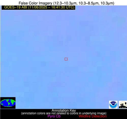
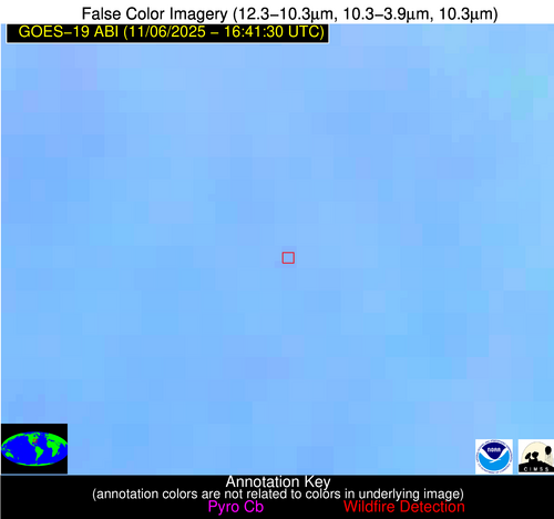
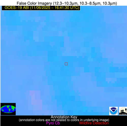
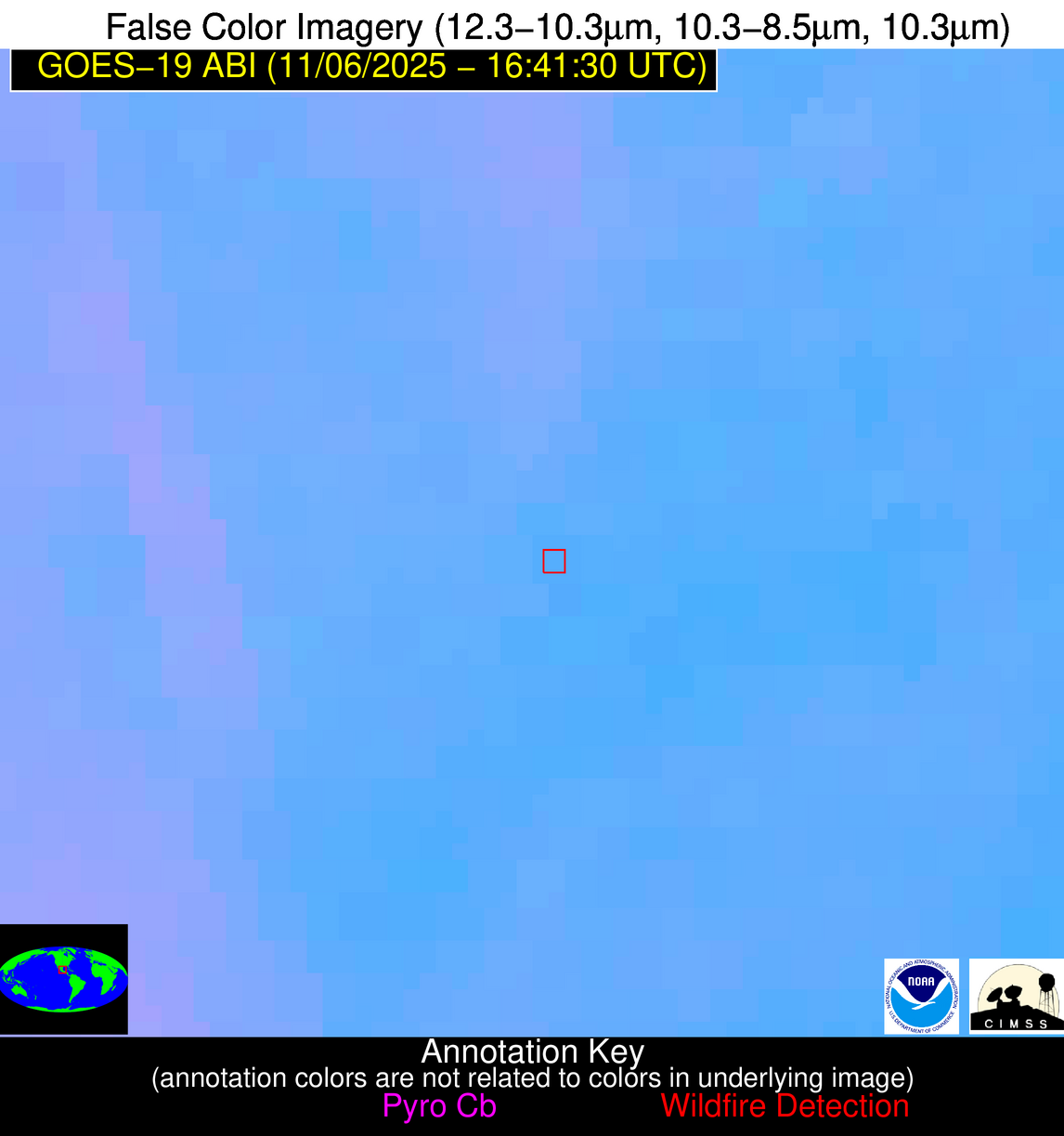
Wildfire Alert Report
| Date: | 2025-11-06 |
|---|---|
| Time: | 16:41:17 |
| Production Date and Time: | 2025-11-06 16:46:18 UTC |
| Primary Instrument: | GOES-19 ABI |
| Wmo Spacecraft Id: | 666 |
| Location/orbit: | GEO |
| L1 File: | OR_ABI-L1b-RadC-M6C14_G19_s20253101641179_e20253101643552_c20253101644019.nc |
| L1 File(s) - Temporal | OR_ABI-L1b-RadC-M6C14_G19_s20253101636179_e20253101638552_c20253101639042.nc |
| Number Of Thermal Anomaly Alerts: | 6 |
Possible Wildfire
| Basic Information | |
|---|---|
| State/Province(s) | NC |
| Country/Countries | United States |
| County/Locality(s) | Stanly County, NC |
| NWS WFO | Raleigh NC |
| Identification Method | Enhanced Contextual (Clear) |
| Mean Object Date/Time | 2025-11-06 16:42:22UTC |
| Radiative Center (Lat, Lon): | 35.255001°, -80.369446° |
| Nearby Counties (meeting alert criteria): |
|
| Total Radiative Power Anomaly | n/a |
| Total Radiative Power | 3.45 MW |
| Map: | |
| Additional Information | |
| Alert Status | New Feature |
| Type of Event | Nominal Risk |
| Event Priority Ranking | 4 |
| Maximum Observed BT (3.9 um) | 300.48 K |
| Observed - Background BT (3.9 um) | 1.27 K |
| BT Anomaly (3.9 um) | 1.38 K |
| Maximum Observed - Clear RTM BT (3.9 um) | 12.83 K |
| Maximum Observed BTD (3.9-10/11/12 um) | 6.71 K |
| Observed - Background BTD (3.9-10/11/12 um) | 1.20 K |
| BTD Anomaly (3.9-10/11/12 um) | 2.54 K |
| Similar Pixel Count | 25 |
| BT Time Tendency (3.9 um) | 1.00 K |
| Image Interval | 5.00 minutes |
| Fraction of Surrounding LWIR Pixels that are Colder | 0.50 |
| Fraction of Surrounding Red Channel Pixels that are Brighter | 1.00 |
| Maximum Radiative Power | 3.45 MW |
| Maximum Radiative Power Uncertainty | 0.00 MW |
| Total Radiative Power Uncertainty | 0.00 MW |
| Mean Viewing Angle | 41.50° |
| Mean Solar Zenith Angle | 51.30° |
| Mean Glint Angle | 92.80° |
| Water Fraction | 0.00 |
| Total Pixel Area | 5.30 km2 |
| Latest Satellite Imagery: | |
| View all event imagery » | |
Possible Wildfire
| Basic Information | |
|---|---|
| State/Province(s) | MS |
| Country/Countries | United States |
| County/Locality(s) | Montgomery County, MS |
| NWS WFO | Jackson MS |
| Identification Method | Enhanced Contextual (Clear) |
| Mean Object Date/Time | 2025-11-06 16:42:21UTC |
| Radiative Center (Lat, Lon): | 33.615002°, -89.673889° |
| Nearby Counties (meeting alert criteria): |
|
| Total Radiative Power Anomaly | n/a |
| Total Radiative Power | 6.09 MW |
| Map: | |
| Additional Information | |
| Alert Status | New Feature |
| Type of Event | Nominal Risk |
| Event Priority Ranking | 4 |
| Maximum Observed BT (3.9 um) | 299.91 K |
| Observed - Background BT (3.9 um) | 3.26 K |
| BT Anomaly (3.9 um) | 2.68 K |
| Maximum Observed - Clear RTM BT (3.9 um) | 8.07 K |
| Maximum Observed BTD (3.9-10/11/12 um) | 9.38 K |
| Observed - Background BTD (3.9-10/11/12 um) | 2.86 K |
| BTD Anomaly (3.9-10/11/12 um) | 3.39 K |
| Similar Pixel Count | 19 |
| BT Time Tendency (3.9 um) | 0.50 K |
| Image Interval | 5.00 minutes |
| Fraction of Surrounding LWIR Pixels that are Colder | 0.69 |
| Fraction of Surrounding Red Channel Pixels that are Brighter | 0.75 |
| Maximum Radiative Power | 6.09 MW |
| Maximum Radiative Power Uncertainty | 0.00 MW |
| Total Radiative Power Uncertainty | 0.00 MW |
| Mean Viewing Angle | 42.30° |
| Mean Solar Zenith Angle | 51.50° |
| Mean Glint Angle | 93.60° |
| Water Fraction | 0.00 |
| Total Pixel Area | 5.40 km2 |
| Latest Satellite Imagery: | |
| View all event imagery » | |
Possible Wildfire
| Basic Information | |
|---|---|
| State/Province(s) | MS |
| Country/Countries | United States |
| County/Locality(s) | Lauderdale County, MS |
| NWS WFO | Jackson MS |
| Identification Method | Enhanced Contextual (Clear) |
| Mean Object Date/Time | 2025-11-06 16:42:21UTC |
| Radiative Center (Lat, Lon): | 32.556946°, -88.406387° |
| Nearby Counties (meeting alert criteria): |
|
| Total Radiative Power Anomaly | n/a |
| Total Radiative Power | 7.22 MW |
| Map: | |
| Additional Information | |
| Alert Status | New Feature |
| Type of Event | Nominal Risk |
| Event Priority Ranking | 4 |
| Maximum Observed BT (3.9 um) | 300.07 K |
| Observed - Background BT (3.9 um) | 2.21 K |
| BT Anomaly (3.9 um) | 2.02 K |
| Maximum Observed - Clear RTM BT (3.9 um) | 7.08 K |
| Maximum Observed BTD (3.9-10/11/12 um) | 7.28 K |
| Observed - Background BTD (3.9-10/11/12 um) | 2.31 K |
| BTD Anomaly (3.9-10/11/12 um) | 3.73 K |
| Similar Pixel Count | 8 |
| BT Time Tendency (3.9 um) | 1.70 K |
| Image Interval | 5.00 minutes |
| Fraction of Surrounding LWIR Pixels that are Colder | 0.42 |
| Fraction of Surrounding Red Channel Pixels that are Brighter | 1.00 |
| Maximum Radiative Power | 7.22 MW |
| Maximum Radiative Power Uncertainty | 0.00 MW |
| Total Radiative Power Uncertainty | 0.00 MW |
| Mean Viewing Angle | 40.70° |
| Mean Solar Zenith Angle | 50.10° |
| Mean Glint Angle | 90.60° |
| Water Fraction | 0.00 |
| Total Pixel Area | 5.30 km2 |
| Latest Satellite Imagery: | |
| View all event imagery » | |
Possible Wildfire
| Basic Information | |
|---|---|
| State/Province(s) | AL |
| Country/Countries | United States |
| County/Locality(s) | Washington County, AL |
| NWS WFO | Mobile AL |
| Identification Method | Enhanced Contextual (Clear) |
| Mean Object Date/Time | 2025-11-06 16:42:21UTC |
| Radiative Center (Lat, Lon): | 31.540001°, -88.072220° |
| Nearby Counties (meeting alert criteria): |
|
| Total Radiative Power Anomaly | n/a |
| Total Radiative Power | 6.81 MW |
| Map: | |
| Additional Information | |
| Alert Status | New Feature |
| Type of Event | Nominal Risk |
| Event Priority Ranking | 4 |
| Maximum Observed BT (3.9 um) | 301.47 K |
| Observed - Background BT (3.9 um) | 2.99 K |
| BT Anomaly (3.9 um) | 2.94 K |
| Maximum Observed - Clear RTM BT (3.9 um) | 7.68 K |
| Maximum Observed BTD (3.9-10/11/12 um) | 7.35 K |
| Observed - Background BTD (3.9-10/11/12 um) | 2.63 K |
| BTD Anomaly (3.9-10/11/12 um) | 5.23 K |
| Similar Pixel Count | 12 |
| BT Time Tendency (3.9 um) | 1.00 K |
| Image Interval | 5.00 minutes |
| Fraction of Surrounding LWIR Pixels that are Colder | 0.81 |
| Fraction of Surrounding Red Channel Pixels that are Brighter | 1.00 |
| Maximum Radiative Power | 6.81 MW |
| Maximum Radiative Power Uncertainty | 0.00 MW |
| Total Radiative Power Uncertainty | 0.00 MW |
| Mean Viewing Angle | 39.50° |
| Mean Solar Zenith Angle | 49.10° |
| Mean Glint Angle | 88.40° |
| Water Fraction | 0.00 |
| Total Pixel Area | 5.20 km2 |
| Latest Satellite Imagery: | |
| View all event imagery » | |
Possible Wildfire
| Basic Information | |
|---|---|
| State/Province(s) | LA |
| Country/Countries | United States |
| County/Locality(s) | Assumption Parish, LA |
| NWS WFO | New Orleans LA |
| Identification Method | Enhanced Contextual (Clear) |
| Mean Object Date/Time | 2025-11-06 16:42:50UTC |
| Radiative Center (Lat, Lon): | 30.067499°, -91.018059° |
| Nearby Counties (meeting alert criteria): |
|
| Total Radiative Power Anomaly | n/a |
| Total Radiative Power | 11.25 MW |
| Map: | |
| Additional Information | |
| Alert Status | New Feature |
| Type of Event | Nominal Risk |
| Event Priority Ranking | 4 |
| Maximum Observed BT (3.9 um) | 307.06 K |
| Observed - Background BT (3.9 um) | 5.36 K |
| BT Anomaly (3.9 um) | 2.32 K |
| Maximum Observed - Clear RTM BT (3.9 um) | 10.62 K |
| Maximum Observed BTD (3.9-10/11/12 um) | 12.69 K |
| Observed - Background BTD (3.9-10/11/12 um) | 4.57 K |
| BTD Anomaly (3.9-10/11/12 um) | 3.07 K |
| Similar Pixel Count | 20 |
| BT Time Tendency (3.9 um) | 2.60 K |
| Image Interval | 5.00 minutes |
| Fraction of Surrounding LWIR Pixels that are Colder | 0.79 |
| Fraction of Surrounding Red Channel Pixels that are Brighter | 0.65 |
| Maximum Radiative Power | 11.25 MW |
| Maximum Radiative Power Uncertainty | 0.00 MW |
| Total Radiative Power Uncertainty | 0.00 MW |
| Mean Viewing Angle | 39.30° |
| Mean Solar Zenith Angle | 48.50° |
| Mean Glint Angle | 87.50° |
| Water Fraction | 0.00 |
| Total Pixel Area | 5.20 km2 |
| Latest Satellite Imagery: | |
| View all event imagery » | |
Possible Wildfire
| Basic Information | |
|---|---|
| State/Province(s) | San Luis Potosí |
| Country/Countries | Mexico |
| County/Locality(s) | Ciudad Valles, San Luis Potosí |
| NWS WFO | N/A |
| Identification Method | Enhanced Contextual (Clear) |
| Mean Object Date/Time | 2025-11-06 16:43:19UTC |
| Radiative Center (Lat, Lon): | 21.825001°, -98.907219° |
| Nearby Counties (meeting alert criteria): |
|
| Total Radiative Power Anomaly | n/a |
| Total Radiative Power | 5.88 MW |
| Map: | |
| Additional Information | |
| Alert Status | New Feature |
| Type of Event | Nominal Risk |
| Event Priority Ranking | 4 |
| Maximum Observed BT (3.9 um) | 305.91 K |
| Observed - Background BT (3.9 um) | 3.16 K |
| BT Anomaly (3.9 um) | 3.09 K |
| Maximum Observed - Clear RTM BT (3.9 um) | 9.37 K |
| Maximum Observed BTD (3.9-10/11/12 um) | 8.02 K |
| Observed - Background BTD (3.9-10/11/12 um) | 2.42 K |
| BTD Anomaly (3.9-10/11/12 um) | 3.25 K |
| Similar Pixel Count | 20 |
| BT Time Tendency (3.9 um) | 0.60 K |
| Image Interval | 5.00 minutes |
| Fraction of Surrounding LWIR Pixels that are Colder | 0.75 |
| Fraction of Surrounding Red Channel Pixels that are Brighter | 1.00 |
| Maximum Radiative Power | 5.88 MW |
| Maximum Radiative Power Uncertainty | 0.00 MW |
| Total Radiative Power Uncertainty | 0.00 MW |
| Mean Viewing Angle | 37.20° |
| Mean Solar Zenith Angle | 44.60° |
| Mean Glint Angle | 80.90° |
| Water Fraction | 0.00 |
| Total Pixel Area | 5.00 km2 |
| Latest Satellite Imagery: | |
| View all event imagery » | |


