Wildfire Alert Report
| Date: | 2025-11-04 |
|---|---|
| Time: | 23:16:17 |
| Production Date and Time: | 2025-11-04 23:21:25 UTC |
| Primary Instrument: | GOES-19 ABI |
| Wmo Spacecraft Id: | 666 |
| Location/orbit: | GEO |
| L1 File: | OR_ABI-L1b-RadC-M6C14_G19_s20253082316178_e20253082318551_c20253082319035.nc |
| L1 File(s) - Temporal | OR_ABI-L1b-RadC-M6C14_G19_s20253082311178_e20253082313551_c20253082314037.nc |
| Number Of Thermal Anomaly Alerts: | 6 |
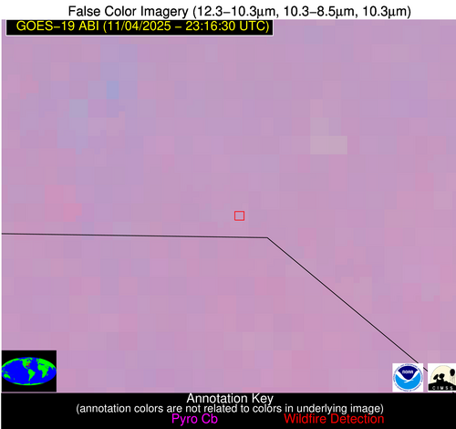
Possible Wildfire
| Basic Information | |
|---|---|
| State/Province(s) | British Columbia |
| Country/Countries | Canada |
| County/Locality(s) | Central Kootenay, British Columbia |
| NWS WFO | N/A |
| Identification Method | Enhanced Contextual (Clear) |
| Mean Object Date/Time | 2025-11-04 23:16:19UTC |
| Radiative Center (Lat, Lon): | 49.934166°, -118.077774° |
| Nearby Counties (meeting alert criteria): |
|
| Total Radiative Power Anomaly | n/a |
| Total Radiative Power | 166.76 MW |
| Map: | |
| Additional Information | |
| Alert Status | New Feature |
| Type of Event | Nominal Risk |
| Event Priority Ranking | 4 |
| Maximum Observed BT (3.9 um) | 289.76 K |
| Observed - Background BT (3.9 um) | 19.06 K |
| BT Anomaly (3.9 um) | 11.12 K |
| Maximum Observed - Clear RTM BT (3.9 um) | 20.13 K |
| Maximum Observed BTD (3.9-10/11/12 um) | 20.09 K |
| Observed - Background BTD (3.9-10/11/12 um) | 18.63 K |
| BTD Anomaly (3.9-10/11/12 um) | 10.92 K |
| Similar Pixel Count | 3 |
| BT Time Tendency (3.9 um) | 2.30 K |
| Image Interval | 5.00 minutes |
| Fraction of Surrounding LWIR Pixels that are Colder | 0.69 |
| Fraction of Surrounding Red Channel Pixels that are Brighter | 0.19 |
| Maximum Radiative Power | 62.83 MW |
| Maximum Radiative Power Uncertainty | 0.00 MW |
| Total Radiative Power Uncertainty | 0.00 MW |
| Mean Viewing Angle | 70.60° |
| Mean Solar Zenith Angle | 81.10° |
| Mean Glint Angle | 74.10° |
| Water Fraction | 0.00 |
| Total Pixel Area | 36.10 km2 |
| Latest Satellite Imagery: | |
| View all event imagery » | |
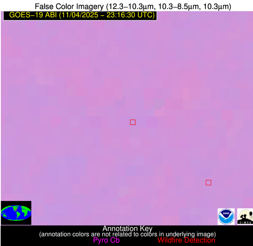
Possible Wildfire
| Basic Information | |
|---|---|
| State/Province(s) | NC |
| Country/Countries | United States |
| County/Locality(s) | Richmond County, NC |
| NWS WFO | Raleigh NC |
| Identification Method | Enhanced Contextual (Clear) |
| Mean Object Date/Time | 2025-11-04 23:17:22UTC |
| Radiative Center (Lat, Lon): | 34.829723°, -79.720558° |
| Nearby Counties (meeting alert criteria): |
|
| Total Radiative Power Anomaly | n/a |
| Total Radiative Power | 3.31 MW |
| Map: | |
| Additional Information | |
| Alert Status | New Feature |
| Type of Event | Nonmetal-mineral |
| Event Priority Ranking | 5 |
| Maximum Observed BT (3.9 um) | 283.26 K |
| Observed - Background BT (3.9 um) | 2.36 K |
| BT Anomaly (3.9 um) | 4.76 K |
| Maximum Observed - Clear RTM BT (3.9 um) | 1.32 K |
| Maximum Observed BTD (3.9-10/11/12 um) | 2.22 K |
| Observed - Background BTD (3.9-10/11/12 um) | 2.20 K |
| BTD Anomaly (3.9-10/11/12 um) | 13.70 K |
| Similar Pixel Count | 2 |
| BT Time Tendency (3.9 um) | 0.40 K |
| Image Interval | 5.00 minutes |
| Fraction of Surrounding LWIR Pixels that are Colder | 0.72 |
| Fraction of Surrounding Red Channel Pixels that are Brighter | 1.00 |
| Maximum Radiative Power | 3.31 MW |
| Maximum Radiative Power Uncertainty | 0.00 MW |
| Total Radiative Power Uncertainty | 0.00 MW |
| Mean Viewing Angle | 40.90° |
| Mean Solar Zenith Angle | 101.40° |
| Mean Glint Angle | 100.40° |
| Water Fraction | 0.00 |
| Total Pixel Area | 5.30 km2 |
| Latest Satellite Imagery: | |
| View all event imagery » | |
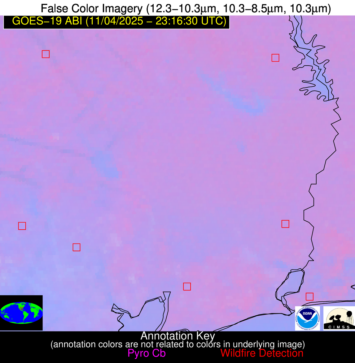
Possible Wildfire
| Basic Information | |
|---|---|
| State/Province(s) | AL |
| Country/Countries | United States |
| County/Locality(s) | Crenshaw County, AL |
| NWS WFO | Mobile AL |
| Identification Method | Enhanced Contextual (Clear) |
| Mean Object Date/Time | 2025-11-04 23:17:21UTC |
| Radiative Center (Lat, Lon): | 31.643333°, -86.265274° |
| Nearby Counties (meeting alert criteria): |
|
| Total Radiative Power Anomaly | n/a |
| Total Radiative Power | 7.10 MW |
| Map: | |
| Additional Information | |
| Alert Status | New Feature |
| Type of Event | Nominal Risk |
| Event Priority Ranking | 4 |
| Maximum Observed BT (3.9 um) | 289.58 K |
| Observed - Background BT (3.9 um) | 4.33 K |
| BT Anomaly (3.9 um) | 8.82 K |
| Maximum Observed - Clear RTM BT (3.9 um) | 3.20 K |
| Maximum Observed BTD (3.9-10/11/12 um) | 3.55 K |
| Observed - Background BTD (3.9-10/11/12 um) | 4.02 K |
| BTD Anomaly (3.9-10/11/12 um) | 17.78 K |
| Similar Pixel Count | 1 |
| BT Time Tendency (3.9 um) | 2.10 K |
| Image Interval | 5.00 minutes |
| Fraction of Surrounding LWIR Pixels that are Colder | 0.77 |
| Fraction of Surrounding Red Channel Pixels that are Brighter | 1.00 |
| Maximum Radiative Power | 7.10 MW |
| Maximum Radiative Power Uncertainty | 0.00 MW |
| Total Radiative Power Uncertainty | 0.00 MW |
| Mean Viewing Angle | 38.90° |
| Mean Solar Zenith Angle | 95.40° |
| Mean Glint Angle | 90.50° |
| Water Fraction | 0.00 |
| Total Pixel Area | 5.10 km2 |
| Latest Satellite Imagery: | |
| View all event imagery » | |
Possible Wildfire
| Basic Information | |
|---|---|
| State/Province(s) | TX |
| Country/Countries | United States |
| County/Locality(s) | Houston County, TX |
| NWS WFO | Houston/Galveston TX |
| Identification Method | Enhanced Contextual (Clear) |
| Mean Object Date/Time | 2025-11-04 23:17:20UTC |
| Radiative Center (Lat, Lon): | 31.487499°, -95.509720° |
| Nearby Counties (meeting alert criteria): |
|
| Total Radiative Power Anomaly | n/a |
| Total Radiative Power | 15.78 MW |
| Map: | |
| Additional Information | |
| Alert Status | New Feature |
| Type of Event | Nominal Risk |
| Event Priority Ranking | 4 |
| Maximum Observed BT (3.9 um) | 294.60 K |
| Observed - Background BT (3.9 um) | 7.05 K |
| BT Anomaly (3.9 um) | 11.89 K |
| Maximum Observed - Clear RTM BT (3.9 um) | 8.09 K |
| Maximum Observed BTD (3.9-10/11/12 um) | 7.47 K |
| Observed - Background BTD (3.9-10/11/12 um) | 7.51 K |
| BTD Anomaly (3.9-10/11/12 um) | 24.41 K |
| Similar Pixel Count | 1 |
| BT Time Tendency (3.9 um) | 6.20 K |
| Image Interval | 5.00 minutes |
| Fraction of Surrounding LWIR Pixels that are Colder | 0.24 |
| Fraction of Surrounding Red Channel Pixels that are Brighter | 0.95 |
| Maximum Radiative Power | 15.78 MW |
| Maximum Radiative Power Uncertainty | 0.00 MW |
| Total Radiative Power Uncertainty | 0.00 MW |
| Mean Viewing Angle | 43.00° |
| Mean Solar Zenith Angle | 87.80° |
| Mean Glint Angle | 77.50° |
| Water Fraction | 0.00 |
| Total Pixel Area | 5.50 km2 |
| Latest Satellite Imagery: | |
| View all event imagery » | |
Possible Wildfire
| Basic Information | |
|---|---|
| State/Province(s) | LA |
| Country/Countries | United States |
| County/Locality(s) | Cameron Parish, LA |
| NWS WFO | Lake Charles LA |
| Identification Method | Enhanced Contextual (Clear) |
| Mean Object Date/Time | 2025-11-04 23:17:50UTC |
| Radiative Center (Lat, Lon): | 29.799723°, -93.728058° |
| Nearby Counties (meeting alert criteria): |
|
| Total Radiative Power Anomaly | n/a |
| Total Radiative Power | 14.99 MW |
| Map: | |
| Additional Information | |
| Alert Status | New Feature |
| Type of Event | Nominal Risk |
| Event Priority Ranking | 4 |
| Maximum Observed BT (3.9 um) | 291.58 K |
| Observed - Background BT (3.9 um) | 2.86 K |
| BT Anomaly (3.9 um) | 2.28 K |
| Maximum Observed - Clear RTM BT (3.9 um) | 4.47 K |
| Maximum Observed BTD (3.9-10/11/12 um) | 3.79 K |
| Observed - Background BTD (3.9-10/11/12 um) | 3.62 K |
| BTD Anomaly (3.9-10/11/12 um) | 10.19 K |
| Similar Pixel Count | 2 |
| BT Time Tendency (3.9 um) | 1.40 K |
| Image Interval | 5.00 minutes |
| Fraction of Surrounding LWIR Pixels that are Colder | 0.17 |
| Fraction of Surrounding Red Channel Pixels that are Brighter | 1.00 |
| Maximum Radiative Power | 7.55 MW |
| Maximum Radiative Power Uncertainty | 0.00 MW |
| Total Radiative Power Uncertainty | 0.00 MW |
| Mean Viewing Angle | 40.40° |
| Mean Solar Zenith Angle | 88.70° |
| Mean Glint Angle | 78.90° |
| Water Fraction | 0.00 |
| Total Pixel Area | 10.50 km2 |
| Latest Satellite Imagery: | |
| View all event imagery » | |
Possible Wildfire
| Basic Information | |
|---|---|
| State/Province(s) | Nuevo León |
| Country/Countries | Mexico |
| County/Locality(s) | Vallecillo, Nuevo León |
| NWS WFO | N/A |
| Identification Method | Enhanced Contextual (Clear) |
| Mean Object Date/Time | 2025-11-04 23:17:49UTC |
| Radiative Center (Lat, Lon): | 26.460556°, -99.848335° |
| Nearby Counties (meeting alert criteria): |
|
| Total Radiative Power Anomaly | n/a |
| Total Radiative Power | 6.67 MW |
| Map: | |
| Additional Information | |
| Alert Status | New Feature |
| Type of Event | Nominal Risk |
| Event Priority Ranking | 4 |
| Maximum Observed BT (3.9 um) | 299.12 K |
| Observed - Background BT (3.9 um) | 2.44 K |
| BT Anomaly (3.9 um) | 4.87 K |
| Maximum Observed - Clear RTM BT (3.9 um) | 7.75 K |
| Maximum Observed BTD (3.9-10/11/12 um) | 3.94 K |
| Observed - Background BTD (3.9-10/11/12 um) | 2.43 K |
| BTD Anomaly (3.9-10/11/12 um) | 8.95 K |
| Similar Pixel Count | 1 |
| BT Time Tendency (3.9 um) | 0.20 K |
| Image Interval | 5.00 minutes |
| Fraction of Surrounding LWIR Pixels that are Colder | 0.47 |
| Fraction of Surrounding Red Channel Pixels that are Brighter | 1.00 |
| Maximum Radiative Power | 6.67 MW |
| Maximum Radiative Power Uncertainty | 0.00 MW |
| Total Radiative Power Uncertainty | 0.00 MW |
| Mean Viewing Angle | 41.50° |
| Mean Solar Zenith Angle | 82.50° |
| Mean Glint Angle | 68.10° |
| Water Fraction | 0.00 |
| Total Pixel Area | 5.30 km2 |
| Latest Satellite Imagery: | |
| View all event imagery » | |


