Wildfire Alert Report
| Date: | 2025-11-03 |
|---|---|
| Time: | 19:01:18 |
| Production Date and Time: | 2025-11-03 19:06:20 UTC |
| Primary Instrument: | GOES-18 ABI |
| Wmo Spacecraft Id: | 665 |
| Location/orbit: | GEO |
| L1 File: | OR_ABI-L1b-RadC-M6C14_G18_s20253071901182_e20253071903555_c20253071904055.nc |
| L1 File(s) - Temporal | OR_ABI-L1b-RadC-M6C14_G18_s20253071856182_e20253071858555_c20253071859043.nc |
| Number Of Thermal Anomaly Alerts: | 7 |
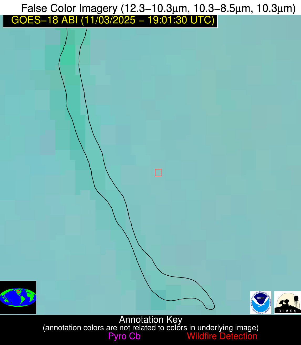
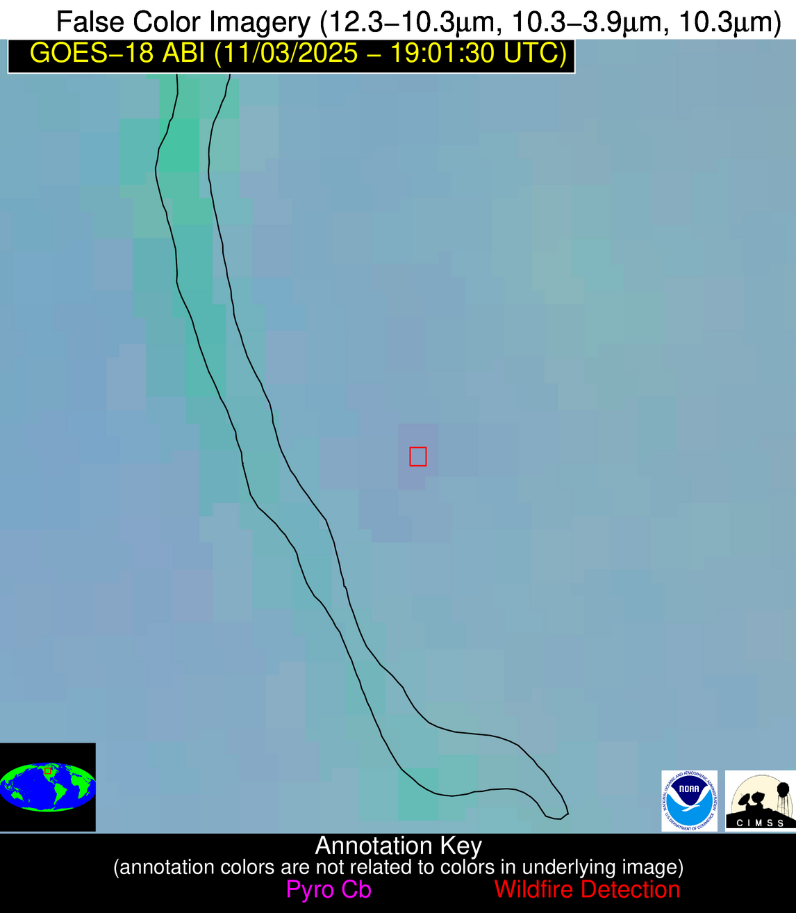
Possible Wildfire
| Basic Information | |
|---|---|
| State/Province(s) | Saskatchewan |
| Country/Countries | Canada |
| County/Locality(s) | Division No. 6, Saskatchewan |
| NWS WFO | N/A |
| Identification Method | Enhanced Contextual (Clear) |
| Mean Object Date/Time | 2025-11-03 19:01:25UTC |
| Radiative Center (Lat, Lon): | 51.002499°, -105.030830° |
| Nearby Counties (meeting alert criteria): |
|
| Total Radiative Power Anomaly | n/a |
| Total Radiative Power | 8.86 MW |
| Map: | |
| Additional Information | |
| Alert Status | New Feature |
| Type of Event | Nominal Risk |
| Event Priority Ranking | 4 |
| Maximum Observed BT (3.9 um) | 289.51 K |
| Observed - Background BT (3.9 um) | 2.25 K |
| BT Anomaly (3.9 um) | 1.91 K |
| Maximum Observed - Clear RTM BT (3.9 um) | 11.99 K |
| Maximum Observed BTD (3.9-10/11/12 um) | 9.98 K |
| Observed - Background BTD (3.9-10/11/12 um) | 1.99 K |
| BTD Anomaly (3.9-10/11/12 um) | 3.64 K |
| Similar Pixel Count | 25 |
| BT Time Tendency (3.9 um) | 0.50 K |
| Image Interval | 5.00 minutes |
| Fraction of Surrounding LWIR Pixels that are Colder | 0.63 |
| Fraction of Surrounding Red Channel Pixels that are Brighter | 0.99 |
| Maximum Radiative Power | 8.86 MW |
| Maximum Radiative Power Uncertainty | 0.00 MW |
| Total Radiative Power Uncertainty | 0.00 MW |
| Mean Viewing Angle | 66.10° |
| Mean Solar Zenith Angle | 66.00° |
| Mean Glint Angle | 121.80° |
| Water Fraction | 0.00 |
| Total Pixel Area | 9.90 km2 |
| Latest Satellite Imagery: | |
| View all event imagery » | |
Possible Wildfire
| Basic Information | |
|---|---|
| State/Province(s) | British Columbia |
| Country/Countries | Canada |
| County/Locality(s) | Nanaimo, British Columbia |
| NWS WFO | N/A |
| Identification Method | Enhanced Contextual (Clear) |
| Mean Object Date/Time | 2025-11-03 19:01:23UTC |
| Radiative Center (Lat, Lon): | 49.078888°, -124.317780° |
| Nearby Counties (meeting alert criteria): |
|
| Total Radiative Power Anomaly | n/a |
| Total Radiative Power | 26.04 MW |
| Map: | |
| Additional Information | |
| Alert Status | New Feature |
| Type of Event | Nominal Risk |
| Event Priority Ranking | 4 |
| Maximum Observed BT (3.9 um) | 289.15 K |
| Observed - Background BT (3.9 um) | 9.78 K |
| BT Anomaly (3.9 um) | 2.59 K |
| Maximum Observed - Clear RTM BT (3.9 um) | 13.81 K |
| Maximum Observed BTD (3.9-10/11/12 um) | 20.21 K |
| Observed - Background BTD (3.9-10/11/12 um) | 9.86 K |
| BTD Anomaly (3.9-10/11/12 um) | 3.03 K |
| Similar Pixel Count | 9 |
| BT Time Tendency (3.9 um) | 3.40 K |
| Image Interval | 5.00 minutes |
| Fraction of Surrounding LWIR Pixels that are Colder | 0.73 |
| Fraction of Surrounding Red Channel Pixels that are Brighter | 0.79 |
| Maximum Radiative Power | 26.04 MW |
| Maximum Radiative Power Uncertainty | 0.00 MW |
| Total Radiative Power Uncertainty | 0.00 MW |
| Mean Viewing Angle | 57.90° |
| Mean Solar Zenith Angle | 65.30° |
| Mean Glint Angle | 115.30° |
| Water Fraction | 0.00 |
| Total Pixel Area | 7.50 km2 |
| Latest Satellite Imagery: | |
| View all event imagery » | |
Possible Wildfire
| Basic Information | |
|---|---|
| State/Province(s) | Manitoba |
| Country/Countries | Canada |
| County/Locality(s) | Division No. 15, Manitoba |
| NWS WFO | N/A |
| Identification Method | Enhanced Contextual (Clear) |
| Mean Object Date/Time | 2025-11-03 19:01:25UTC |
| Radiative Center (Lat, Lon): | 50.334721°, -100.046387° |
| Nearby Counties (meeting alert criteria): |
|
| Total Radiative Power Anomaly | n/a |
| Total Radiative Power | 59.25 MW |
| Map: | |
| Additional Information | |
| Alert Status | New Feature |
| Type of Event | Nominal Risk |
| Event Priority Ranking | 4 |
| Maximum Observed BT (3.9 um) | 292.23 K |
| Observed - Background BT (3.9 um) | 7.36 K |
| BT Anomaly (3.9 um) | 3.95 K |
| Maximum Observed - Clear RTM BT (3.9 um) | 16.06 K |
| Maximum Observed BTD (3.9-10/11/12 um) | 14.67 K |
| Observed - Background BTD (3.9-10/11/12 um) | 7.80 K |
| BTD Anomaly (3.9-10/11/12 um) | 7.22 K |
| Similar Pixel Count | 4 |
| BT Time Tendency (3.9 um) | 6.50 K |
| Image Interval | 5.00 minutes |
| Fraction of Surrounding LWIR Pixels that are Colder | 0.58 |
| Fraction of Surrounding Red Channel Pixels that are Brighter | 0.85 |
| Maximum Radiative Power | 32.26 MW |
| Maximum Radiative Power Uncertainty | 0.00 MW |
| Total Radiative Power Uncertainty | 0.00 MW |
| Mean Viewing Angle | 67.80° |
| Mean Solar Zenith Angle | 65.70° |
| Mean Glint Angle | 122.80° |
| Water Fraction | 0.00 |
| Total Pixel Area | 21.20 km2 |
| Latest Satellite Imagery: | |
| View all event imagery » | |
Possible Wildfire
| Basic Information | |
|---|---|
| State/Province(s) | Manitoba |
| Country/Countries | Canada |
| County/Locality(s) | Division No. 15, Manitoba |
| NWS WFO | N/A |
| Identification Method | Enhanced Contextual (Clear) |
| Mean Object Date/Time | 2025-11-03 19:01:25UTC |
| Radiative Center (Lat, Lon): | 50.135555°, -100.732780° |
| Nearby Counties (meeting alert criteria): |
|
| Total Radiative Power Anomaly | n/a |
| Total Radiative Power | 16.18 MW |
| Map: | |
| Additional Information | |
| Alert Status | New Feature |
| Type of Event | Nominal Risk |
| Event Priority Ranking | 4 |
| Maximum Observed BT (3.9 um) | 289.21 K |
| Observed - Background BT (3.9 um) | 2.27 K |
| BT Anomaly (3.9 um) | 3.07 K |
| Maximum Observed - Clear RTM BT (3.9 um) | 12.00 K |
| Maximum Observed BTD (3.9-10/11/12 um) | 9.86 K |
| Observed - Background BTD (3.9-10/11/12 um) | 2.34 K |
| BTD Anomaly (3.9-10/11/12 um) | 3.95 K |
| Similar Pixel Count | 23 |
| BT Time Tendency (3.9 um) | 1.50 K |
| Image Interval | 5.00 minutes |
| Fraction of Surrounding LWIR Pixels that are Colder | 0.46 |
| Fraction of Surrounding Red Channel Pixels that are Brighter | 0.97 |
| Maximum Radiative Power | 8.58 MW |
| Maximum Radiative Power Uncertainty | 0.00 MW |
| Total Radiative Power Uncertainty | 0.00 MW |
| Mean Viewing Angle | 67.30° |
| Mean Solar Zenith Angle | 65.40° |
| Mean Glint Angle | 122.10° |
| Water Fraction | 0.00 |
| Total Pixel Area | 20.70 km2 |
| Latest Satellite Imagery: | |
| View all event imagery » | |
Possible Wildfire
| Basic Information | |
|---|---|
| State/Province(s) | ND |
| Country/Countries | United States |
| County/Locality(s) | Ward County, ND |
| NWS WFO | Bismarck ND |
| Identification Method | Enhanced Contextual (Clear) |
| Mean Object Date/Time | 2025-11-03 19:01:25UTC |
| Radiative Center (Lat, Lon): | 48.459999°, -101.831108° |
| Nearby Counties (meeting alert criteria): |
|
| Total Radiative Power Anomaly | n/a |
| Total Radiative Power | 13.58 MW |
| Map: | |
| Additional Information | |
| Alert Status | New Feature |
| Type of Event | Nominal Risk |
| Event Priority Ranking | 4 |
| Maximum Observed BT (3.9 um) | 292.93 K |
| Observed - Background BT (3.9 um) | 4.02 K |
| BT Anomaly (3.9 um) | 4.33 K |
| Maximum Observed - Clear RTM BT (3.9 um) | 14.48 K |
| Maximum Observed BTD (3.9-10/11/12 um) | 11.10 K |
| Observed - Background BTD (3.9-10/11/12 um) | 3.26 K |
| BTD Anomaly (3.9-10/11/12 um) | 6.43 K |
| Similar Pixel Count | 23 |
| BT Time Tendency (3.9 um) | 3.80 K |
| Image Interval | 5.00 minutes |
| Fraction of Surrounding LWIR Pixels that are Colder | 0.81 |
| Fraction of Surrounding Red Channel Pixels that are Brighter | 0.92 |
| Maximum Radiative Power | 13.58 MW |
| Maximum Radiative Power Uncertainty | 0.00 MW |
| Total Radiative Power Uncertainty | 0.00 MW |
| Mean Viewing Angle | 65.50° |
| Mean Solar Zenith Angle | 63.70° |
| Mean Glint Angle | 118.90° |
| Water Fraction | 0.00 |
| Total Pixel Area | 9.60 km2 |
| Latest Satellite Imagery: | |
| View all event imagery » | |
Possible Wildfire
| Basic Information | |
|---|---|
| State/Province(s) | OR |
| Country/Countries | United States |
| County/Locality(s) | Douglas County, OR |
| NWS WFO | Medford OR |
| Identification Method | Enhanced Contextual (Cloud) |
| Mean Object Date/Time | 2025-11-03 19:01:23UTC |
| Radiative Center (Lat, Lon): | 42.943054°, -123.614166° |
| Nearby Counties (meeting alert criteria): |
|
| Total Radiative Power Anomaly | n/a |
| Total Radiative Power | 28.78 MW |
| Map: | |
| Additional Information | |
| Alert Status | New Feature |
| Type of Event | Nominal Risk |
| Event Priority Ranking | 4 |
| Maximum Observed BT (3.9 um) | 298.46 K |
| Observed - Background BT (3.9 um) | 9.74 K |
| BT Anomaly (3.9 um) | 6.95 K |
| Maximum Observed - Clear RTM BT (3.9 um) | 18.95 K |
| Maximum Observed BTD (3.9-10/11/12 um) | 15.53 K |
| Observed - Background BTD (3.9-10/11/12 um) | 8.98 K |
| BTD Anomaly (3.9-10/11/12 um) | 6.75 K |
| Similar Pixel Count | 0 |
| BT Time Tendency (3.9 um) | 6.90 K |
| Image Interval | 5.00 minutes |
| Fraction of Surrounding LWIR Pixels that are Colder | 0.93 |
| Fraction of Surrounding Red Channel Pixels that are Brighter | 1.00 |
| Maximum Radiative Power | 28.78 MW |
| Maximum Radiative Power Uncertainty | 0.00 MW |
| Total Radiative Power Uncertainty | 0.00 MW |
| Mean Viewing Angle | 51.60° |
| Mean Solar Zenith Angle | 59.30° |
| Mean Glint Angle | 103.50° |
| Water Fraction | 0.00 |
| Total Pixel Area | 6.40 km2 |
| Latest Satellite Imagery: | |
| View all event imagery » | |
Possible Wildfire
| Basic Information | |
|---|---|
| State/Province(s) | CA |
| Country/Countries | United States |
| County/Locality(s) | Butte County, CA |
| NWS WFO | Sacramento CA |
| Identification Method | Enhanced Contextual (Clear) |
| Mean Object Date/Time | 2025-11-03 19:01:54UTC |
| Radiative Center (Lat, Lon): | 39.353611°, -121.850281° |
| Nearby Counties (meeting alert criteria): |
|
| Total Radiative Power Anomaly | n/a |
| Total Radiative Power | 19.16 MW |
| Map: | |
| Additional Information | |
| Alert Status | New Feature |
| Type of Event | Nominal Risk |
| Event Priority Ranking | 4 |
| Maximum Observed BT (3.9 um) | 301.96 K |
| Observed - Background BT (3.9 um) | 3.25 K |
| BT Anomaly (3.9 um) | 1.93 K |
| Maximum Observed - Clear RTM BT (3.9 um) | 6.92 K |
| Maximum Observed BTD (3.9-10/11/12 um) | 11.80 K |
| Observed - Background BTD (3.9-10/11/12 um) | 3.22 K |
| BTD Anomaly (3.9-10/11/12 um) | 3.88 K |
| Similar Pixel Count | 10 |
| BT Time Tendency (3.9 um) | 2.30 K |
| Image Interval | 5.00 minutes |
| Fraction of Surrounding LWIR Pixels that are Colder | 0.50 |
| Fraction of Surrounding Red Channel Pixels that are Brighter | 0.74 |
| Maximum Radiative Power | 10.20 MW |
| Maximum Radiative Power Uncertainty | 0.00 MW |
| Total Radiative Power Uncertainty | 0.00 MW |
| Mean Viewing Angle | 48.40° |
| Mean Solar Zenith Angle | 55.40° |
| Mean Glint Angle | 96.40° |
| Water Fraction | 0.00 |
| Total Pixel Area | 12.10 km2 |
| Latest Satellite Imagery: | |
| View all event imagery » | |


