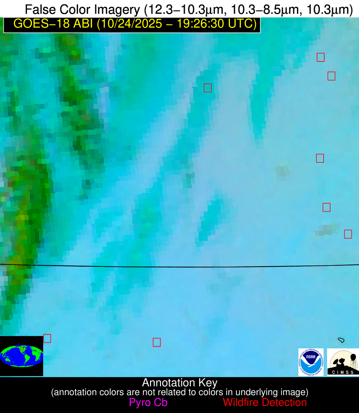
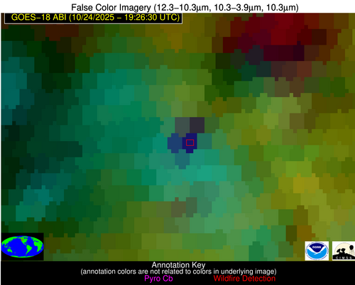
Wildfire Alert Report
| Date: | 2025-10-24 |
|---|---|
| Time: | 19:26:18 |
| Production Date and Time: | 2025-10-24 19:31:21 UTC |
| Primary Instrument: | GOES-18 ABI |
| Wmo Spacecraft Id: | 665 |
| Location/orbit: | GEO |
| L1 File: | OR_ABI-L1b-RadC-M6C14_G18_s20252971926188_e20252971928561_c20252971929043.nc |
| L1 File(s) - Temporal | OR_ABI-L1b-RadC-M6C14_G18_s20252971921188_e20252971923561_c20252971924060.nc |
| Number Of Thermal Anomaly Alerts: | 4 |
Possible Wildfire
| Basic Information | |
|---|---|
| State/Province(s) | British Columbia |
| Country/Countries | Canada |
| County/Locality(s) | Nanaimo, British Columbia |
| NWS WFO | N/A |
| Identification Method | Enhanced Contextual (Cloud) |
| Mean Object Date/Time | 2025-10-24 19:26:23UTC |
| Radiative Center (Lat, Lon): | 49.176666°, -124.381111° |
| Nearby Counties (meeting alert criteria): |
|
| Total Radiative Power Anomaly | n/a |
| Total Radiative Power | 84.98 MW |
| Map: | |
| Additional Information | |
| Alert Status | New Feature |
| Type of Event | Nominal Risk |
| Event Priority Ranking | 4 |
| Maximum Observed BT (3.9 um) | 284.40 K |
| Observed - Background BT (3.9 um) | 19.13 K |
| BT Anomaly (3.9 um) | 9.41 K |
| Maximum Observed - Clear RTM BT (3.9 um) | 8.93 K |
| Maximum Observed BTD (3.9-10/11/12 um) | 40.52 K |
| Observed - Background BTD (3.9-10/11/12 um) | 19.30 K |
| BTD Anomaly (3.9-10/11/12 um) | 10.92 K |
| Similar Pixel Count | 0 |
| BT Time Tendency (3.9 um) | 6.90 K |
| Image Interval | 5.00 minutes |
| Fraction of Surrounding LWIR Pixels that are Colder | 0.60 |
| Fraction of Surrounding Red Channel Pixels that are Brighter | 0.92 |
| Maximum Radiative Power | 84.98 MW |
| Maximum Radiative Power Uncertainty | 0.00 MW |
| Total Radiative Power Uncertainty | 0.00 MW |
| Mean Viewing Angle | 58.00° |
| Mean Solar Zenith Angle | 61.30° |
| Mean Glint Angle | 114.30° |
| Water Fraction | 0.00 |
| Total Pixel Area | 7.60 km2 |
| Latest Satellite Imagery: | |
| View all event imagery » | |
Possible Wildfire
| Basic Information | |
|---|---|
| State/Province(s) | Manitoba |
| Country/Countries | Canada |
| County/Locality(s) | Division No. 15, Manitoba |
| NWS WFO | N/A |
| Identification Method | Enhanced Contextual (Clear) |
| Mean Object Date/Time | 2025-10-24 19:26:25UTC |
| Radiative Center (Lat, Lon): | 50.452221°, -100.330833° |
| Nearby Counties (meeting alert criteria): |
|
| Total Radiative Power Anomaly | n/a |
| Total Radiative Power | 60.13 MW |
| Map: | |
| Additional Information | |
| Alert Status | New Feature |
| Type of Event | Nominal Risk |
| Event Priority Ranking | 4 |
| Maximum Observed BT (3.9 um) | 298.28 K |
| Observed - Background BT (3.9 um) | 6.33 K |
| BT Anomaly (3.9 um) | 4.83 K |
| Maximum Observed - Clear RTM BT (3.9 um) | 18.54 K |
| Maximum Observed BTD (3.9-10/11/12 um) | 14.17 K |
| Observed - Background BTD (3.9-10/11/12 um) | 5.87 K |
| BTD Anomaly (3.9-10/11/12 um) | 7.51 K |
| Similar Pixel Count | 5 |
| BT Time Tendency (3.9 um) | 4.50 K |
| Image Interval | 5.00 minutes |
| Fraction of Surrounding LWIR Pixels that are Colder | 0.74 |
| Fraction of Surrounding Red Channel Pixels that are Brighter | 0.69 |
| Maximum Radiative Power | 31.05 MW |
| Maximum Radiative Power Uncertainty | 0.00 MW |
| Total Radiative Power Uncertainty | 0.00 MW |
| Mean Viewing Angle | 67.80° |
| Mean Solar Zenith Angle | 63.50° |
| Mean Glint Angle | 124.60° |
| Water Fraction | 0.00 |
| Total Pixel Area | 21.20 km2 |
| Latest Satellite Imagery: | |
| View all event imagery » | |
Possible Wildfire
| Basic Information | |
|---|---|
| State/Province(s) | WA |
| Country/Countries | United States |
| County/Locality(s) | Pend Oreille County, WA |
| NWS WFO | Spokane WA |
| Identification Method | Enhanced Contextual (Cloud) |
| Mean Object Date/Time | 2025-10-24 19:26:24UTC |
| Radiative Center (Lat, Lon): | 48.686943°, -117.555832° |
| Nearby Counties (meeting alert criteria): |
|
| Total Radiative Power Anomaly | n/a |
| Total Radiative Power | 124.55 MW |
| Map: | |
| Additional Information | |
| Alert Status | New Feature |
| Type of Event | Nominal Risk |
| Event Priority Ranking | 4 |
| Maximum Observed BT (3.9 um) | 291.30 K |
| Observed - Background BT (3.9 um) | 18.83 K |
| BT Anomaly (3.9 um) | 13.68 K |
| Maximum Observed - Clear RTM BT (3.9 um) | 12.27 K |
| Maximum Observed BTD (3.9-10/11/12 um) | 31.58 K |
| Observed - Background BTD (3.9-10/11/12 um) | 17.37 K |
| BTD Anomaly (3.9-10/11/12 um) | 9.82 K |
| Similar Pixel Count | 0 |
| BT Time Tendency (3.9 um) | 29.80 K |
| Image Interval | 5.00 minutes |
| Fraction of Surrounding LWIR Pixels that are Colder | 1.00 |
| Fraction of Surrounding Red Channel Pixels that are Brighter | 1.00 |
| Maximum Radiative Power | 76.91 MW |
| Maximum Radiative Power Uncertainty | 0.00 MW |
| Total Radiative Power Uncertainty | 0.00 MW |
| Mean Viewing Angle | 59.30° |
| Mean Solar Zenith Angle | 60.30° |
| Mean Glint Angle | 114.20° |
| Water Fraction | 0.00 |
| Total Pixel Area | 15.70 km2 |
| Latest Satellite Imagery: | |
| View all event imagery » | |
Possible Wildfire
| Basic Information | |
|---|---|
| State/Province(s) | ND |
| Country/Countries | United States |
| County/Locality(s) | Williams County, ND |
| NWS WFO | Bismarck ND |
| Identification Method | Enhanced Contextual (Cloud) |
| Mean Object Date/Time | 2025-10-24 19:26:25UTC |
| Radiative Center (Lat, Lon): | 48.494720°, -103.077499° |
| Nearby Counties (meeting alert criteria): |
|
| Total Radiative Power Anomaly | n/a |
| Total Radiative Power | 97.47 MW |
| Map: | |
| Additional Information | |
| Alert Status | New Feature |
| Type of Event | Oil/gas |
| Event Priority Ranking | 5 |
| Maximum Observed BT (3.9 um) | 304.89 K |
| Observed - Background BT (3.9 um) | 9.81 K |
| BT Anomaly (3.9 um) | 12.07 K |
| Maximum Observed - Clear RTM BT (3.9 um) | 20.86 K |
| Maximum Observed BTD (3.9-10/11/12 um) | 17.60 K |
| Observed - Background BTD (3.9-10/11/12 um) | 9.22 K |
| BTD Anomaly (3.9-10/11/12 um) | 12.97 K |
| Similar Pixel Count | 0 |
| BT Time Tendency (3.9 um) | 6.70 K |
| Image Interval | 5.00 minutes |
| Fraction of Surrounding LWIR Pixels that are Colder | 0.79 |
| Fraction of Surrounding Red Channel Pixels that are Brighter | 0.93 |
| Maximum Radiative Power | 53.23 MW |
| Maximum Radiative Power Uncertainty | 0.00 MW |
| Total Radiative Power Uncertainty | 0.00 MW |
| Mean Viewing Angle | 64.90° |
| Mean Solar Zenith Angle | 61.10° |
| Mean Glint Angle | 119.70° |
| Water Fraction | 0.00 |
| Total Pixel Area | 18.80 km2 |
| Latest Satellite Imagery: | |
| View all event imagery » | |


