Jan 2026: Due to an ongoing data center cooling system construction project, NGFS data outages may occur with little or no notice.
Wildfire Alert Report
| Date: | 2025-10-23 |
|---|---|
| Time: | 21:51:17 |
| Production Date and Time: | 2025-10-23 21:56:29 UTC |
| Primary Instrument: | GOES-19 ABI |
| Wmo Spacecraft Id: | 666 |
| Location/orbit: | GEO |
| L1 File: | OR_ABI-L1b-RadC-M6C14_G19_s20252962151179_e20252962153552_c20252962154043.nc |
| L1 File(s) - Temporal | OR_ABI-L1b-RadC-M6C14_G19_s20252962146179_e20252962148552_c20252962149044.nc |
| Number Of Thermal Anomaly Alerts: | 6 |
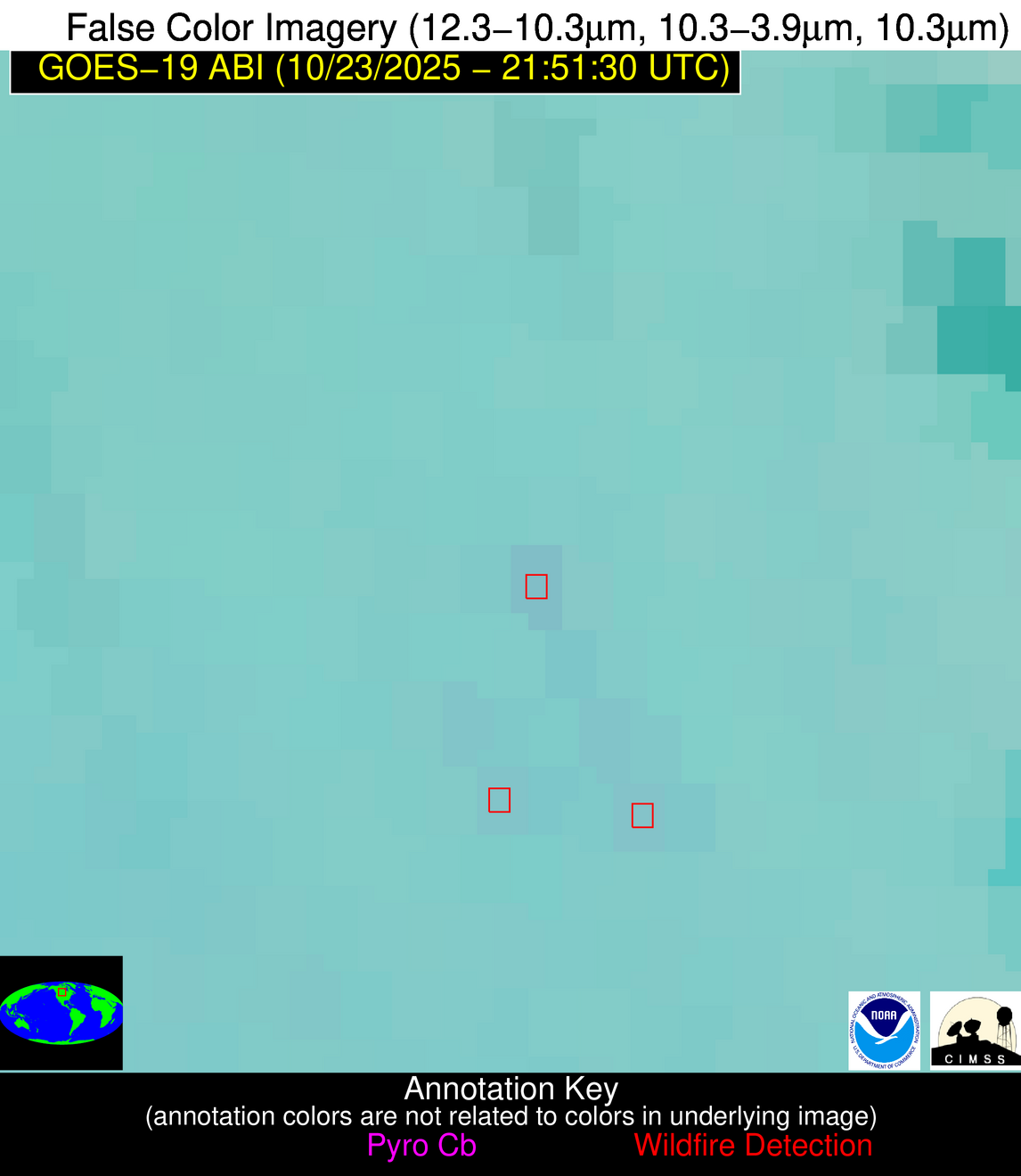
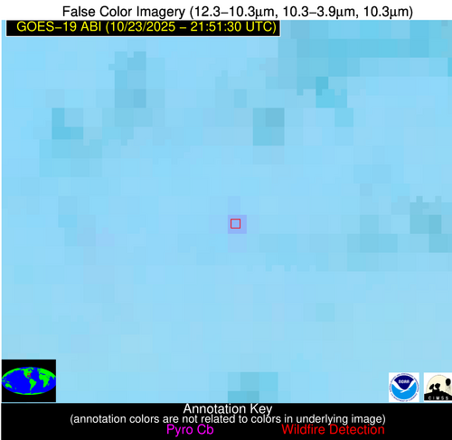
Possible Wildfire
| Basic Information | |
|---|---|
| State/Province(s) | Saskatchewan |
| Country/Countries | Canada |
| County/Locality(s) | Division No. 5, Saskatchewan |
| NWS WFO | N/A |
| Identification Method | Enhanced Contextual (Clear) |
| Mean Object Date/Time | 2025-10-23 21:51:20UTC |
| Radiative Center (Lat, Lon): | 50.953335°, -102.853615° |
| Nearby Counties (meeting alert criteria): |
|
| Total Radiative Power Anomaly | n/a |
| Total Radiative Power | 6.71 MW |
| Map: | |
| Additional Information | |
| Alert Status | New Feature |
| Type of Event | Nominal Risk |
| Event Priority Ranking | 4 |
| Maximum Observed BT (3.9 um) | 286.04 K |
| Observed - Background BT (3.9 um) | 1.93 K |
| BT Anomaly (3.9 um) | 4.89 K |
| Maximum Observed - Clear RTM BT (3.9 um) | 8.45 K |
| Maximum Observed BTD (3.9-10/11/12 um) | 5.67 K |
| Observed - Background BTD (3.9-10/11/12 um) | 1.95 K |
| BTD Anomaly (3.9-10/11/12 um) | 6.14 K |
| Similar Pixel Count | 10 |
| BT Time Tendency (3.9 um) | 1.70 K |
| Image Interval | 5.00 minutes |
| Fraction of Surrounding LWIR Pixels that are Colder | 0.35 |
| Fraction of Surrounding Red Channel Pixels that are Brighter | 1.00 |
| Maximum Radiative Power | 6.71 MW |
| Maximum Radiative Power Uncertainty | 0.00 MW |
| Total Radiative Power Uncertainty | 0.00 MW |
| Mean Viewing Angle | 64.30° |
| Mean Solar Zenith Angle | 75.30° |
| Mean Glint Angle | 89.00° |
| Water Fraction | 0.00 |
| Total Pixel Area | 9.20 km2 |
| Latest Satellite Imagery: | |
| View all event imagery » | |
Possible Wildfire
| Basic Information | |
|---|---|
| State/Province(s) | CA |
| Country/Countries | United States |
| County/Locality(s) | Trinity County, CA |
| NWS WFO | Eureka CA |
| Identification Method | Enhanced Contextual (Clear) |
| Mean Object Date/Time | 2025-10-23 21:51:48UTC |
| Radiative Center (Lat, Lon): | 40.329166°, -123.488052° |
| Nearby Counties (meeting alert criteria): |
|
| Total Radiative Power Anomaly | n/a |
| Total Radiative Power | 13.67 MW |
| Map: | |
| Additional Information | |
| Alert Status | New Feature |
| Type of Event | Nominal Risk |
| Event Priority Ranking | 4 |
| Maximum Observed BT (3.9 um) | 292.71 K |
| Observed - Background BT (3.9 um) | 2.40 K |
| BT Anomaly (3.9 um) | 1.49 K |
| Maximum Observed - Clear RTM BT (3.9 um) | 9.37 K |
| Maximum Observed BTD (3.9-10/11/12 um) | 7.79 K |
| Observed - Background BTD (3.9-10/11/12 um) | 2.37 K |
| BTD Anomaly (3.9-10/11/12 um) | 1.82 K |
| Similar Pixel Count | 11 |
| BT Time Tendency (3.9 um) | 0.80 K |
| Image Interval | 5.00 minutes |
| Fraction of Surrounding LWIR Pixels that are Colder | 0.54 |
| Fraction of Surrounding Red Channel Pixels that are Brighter | 1.00 |
| Maximum Radiative Power | 13.67 MW |
| Maximum Radiative Power Uncertainty | 0.00 MW |
| Total Radiative Power Uncertainty | 0.00 MW |
| Mean Viewing Angle | 68.10° |
| Mean Solar Zenith Angle | 57.80° |
| Mean Glint Angle | 75.90° |
| Water Fraction | 0.00 |
| Total Pixel Area | 10.70 km2 |
| Latest Satellite Imagery: | |
| View all event imagery » | |
Possible Wildfire
| Basic Information | |
|---|---|
| State/Province(s) | AR |
| Country/Countries | United States |
| County/Locality(s) | St. Francis County, AR |
| NWS WFO | Memphis TN |
| Identification Method | Enhanced Contextual (Clear) |
| Mean Object Date/Time | 2025-10-23 21:52:21UTC |
| Radiative Center (Lat, Lon): | 35.102222°, -90.443054° |
| Nearby Counties (meeting alert criteria): |
|
| Total Radiative Power Anomaly | n/a |
| Total Radiative Power | 6.85 MW |
| Map: | |
| Additional Information | |
| Alert Status | New Feature |
| Type of Event | Nominal Risk |
| Event Priority Ranking | 4 |
| Maximum Observed BT (3.9 um) | 296.79 K |
| Observed - Background BT (3.9 um) | 3.06 K |
| BT Anomaly (3.9 um) | 3.63 K |
| Maximum Observed - Clear RTM BT (3.9 um) | 6.93 K |
| Maximum Observed BTD (3.9-10/11/12 um) | 6.04 K |
| Observed - Background BTD (3.9-10/11/12 um) | 2.83 K |
| BTD Anomaly (3.9-10/11/12 um) | 7.71 K |
| Similar Pixel Count | 4 |
| BT Time Tendency (3.9 um) | 1.60 K |
| Image Interval | 5.00 minutes |
| Fraction of Surrounding LWIR Pixels that are Colder | 0.57 |
| Fraction of Surrounding Red Channel Pixels that are Brighter | 0.99 |
| Maximum Radiative Power | 6.85 MW |
| Maximum Radiative Power Uncertainty | 0.00 MW |
| Total Radiative Power Uncertainty | 0.00 MW |
| Mean Viewing Angle | 44.10° |
| Mean Solar Zenith Angle | 74.20° |
| Mean Glint Angle | 79.50° |
| Water Fraction | 0.00 |
| Total Pixel Area | 5.60 km2 |
| Latest Satellite Imagery: | |
| View all event imagery » | |
Possible Wildfire
| Basic Information | |
|---|---|
| State/Province(s) | LA |
| Country/Countries | United States |
| County/Locality(s) | Richland Parish, LA |
| NWS WFO | Jackson MS |
| Identification Method | Enhanced Contextual (Clear) |
| Mean Object Date/Time | 2025-10-23 21:52:20UTC |
| Radiative Center (Lat, Lon): | 32.244720°, -91.887779° |
| Nearby Counties (meeting alert criteria): |
|
| Total Radiative Power Anomaly | n/a |
| Total Radiative Power | 14.64 MW |
| Map: | |
| Additional Information | |
| Alert Status | New Feature |
| Type of Event | Nominal Risk |
| Event Priority Ranking | 4 |
| Maximum Observed BT (3.9 um) | 299.24 K |
| Observed - Background BT (3.9 um) | 5.21 K |
| BT Anomaly (3.9 um) | 4.57 K |
| Maximum Observed - Clear RTM BT (3.9 um) | 8.37 K |
| Maximum Observed BTD (3.9-10/11/12 um) | 11.95 K |
| Observed - Background BTD (3.9-10/11/12 um) | 5.63 K |
| BTD Anomaly (3.9-10/11/12 um) | 5.32 K |
| Similar Pixel Count | 12 |
| BT Time Tendency (3.9 um) | 3.40 K |
| Image Interval | 5.00 minutes |
| Fraction of Surrounding LWIR Pixels that are Colder | 0.57 |
| Fraction of Surrounding Red Channel Pixels that are Brighter | 0.96 |
| Maximum Radiative Power | 14.64 MW |
| Maximum Radiative Power Uncertainty | 0.00 MW |
| Total Radiative Power Uncertainty | 0.00 MW |
| Mean Viewing Angle | 41.80° |
| Mean Solar Zenith Angle | 71.80° |
| Mean Glint Angle | 74.90° |
| Water Fraction | 0.00 |
| Total Pixel Area | 5.40 km2 |
| Latest Satellite Imagery: | |
| View all event imagery » | |
Possible Wildfire
| Basic Information | |
|---|---|
| State/Province(s) | GA |
| Country/Countries | United States |
| County/Locality(s) | Appling County, GA |
| NWS WFO | Jacksonville FL |
| Identification Method | Enhanced Contextual (Clear) |
| Mean Object Date/Time | 2025-10-23 21:52:22UTC |
| Radiative Center (Lat, Lon): | 31.886667°, -82.423058° |
| Nearby Counties (meeting alert criteria): |
|
| Total Radiative Power Anomaly | n/a |
| Total Radiative Power | 10.83 MW |
| Map: | |
| Additional Information | |
| Alert Status | New Feature |
| Type of Event | Nominal Risk |
| Event Priority Ranking | 4 |
| Maximum Observed BT (3.9 um) | 297.11 K |
| Observed - Background BT (3.9 um) | 5.30 K |
| BT Anomaly (3.9 um) | 11.89 K |
| Maximum Observed - Clear RTM BT (3.9 um) | 8.02 K |
| Maximum Observed BTD (3.9-10/11/12 um) | 6.55 K |
| Observed - Background BTD (3.9-10/11/12 um) | 4.67 K |
| BTD Anomaly (3.9-10/11/12 um) | 10.50 K |
| Similar Pixel Count | 1 |
| BT Time Tendency (3.9 um) | 2.10 K |
| Image Interval | 5.00 minutes |
| Fraction of Surrounding LWIR Pixels that are Colder | 0.88 |
| Fraction of Surrounding Red Channel Pixels that are Brighter | 1.00 |
| Maximum Radiative Power | 10.83 MW |
| Maximum Radiative Power Uncertainty | 0.00 MW |
| Total Radiative Power Uncertainty | 0.00 MW |
| Mean Viewing Angle | 38.10° |
| Mean Solar Zenith Angle | 79.00° |
| Mean Glint Angle | 85.80° |
| Water Fraction | 0.00 |
| Total Pixel Area | 5.10 km2 |
| Latest Satellite Imagery: | |
| View all event imagery » | |
Possible Wildfire
| Basic Information | |
|---|---|
| State/Province(s) | LA |
| Country/Countries | United States |
| County/Locality(s) | Calcasieu Parish, LA |
| NWS WFO | Lake Charles LA |
| Identification Method | Enhanced Contextual (Clear) |
| Mean Object Date/Time | 2025-10-23 21:52:50UTC |
| Radiative Center (Lat, Lon): | 30.137501°, -93.597504° |
| Nearby Counties (meeting alert criteria): |
|
| Total Radiative Power Anomaly | n/a |
| Total Radiative Power | 35.28 MW |
| Map: | |
| Additional Information | |
| Alert Status | New Feature |
| Type of Event | Nominal Risk |
| Event Priority Ranking | 4 |
| Maximum Observed BT (3.9 um) | 304.60 K |
| Observed - Background BT (3.9 um) | 7.58 K |
| BT Anomaly (3.9 um) | 7.58 K |
| Maximum Observed - Clear RTM BT (3.9 um) | 10.10 K |
| Maximum Observed BTD (3.9-10/11/12 um) | 12.03 K |
| Observed - Background BTD (3.9-10/11/12 um) | 6.72 K |
| BTD Anomaly (3.9-10/11/12 um) | 12.96 K |
| Similar Pixel Count | 2 |
| BT Time Tendency (3.9 um) | 4.50 K |
| Image Interval | 5.00 minutes |
| Fraction of Surrounding LWIR Pixels that are Colder | 0.83 |
| Fraction of Surrounding Red Channel Pixels that are Brighter | 0.89 |
| Maximum Radiative Power | 20.72 MW |
| Maximum Radiative Power Uncertainty | 0.00 MW |
| Total Radiative Power Uncertainty | 0.00 MW |
| Mean Viewing Angle | 40.70° |
| Mean Solar Zenith Angle | 69.60° |
| Mean Glint Angle | 70.60° |
| Water Fraction | 0.00 |
| Total Pixel Area | 10.50 km2 |
| Latest Satellite Imagery: | |
| View all event imagery » | |

