Wildfire Alert Report
| Date: | 2025-10-22 |
|---|---|
| Time: | 19:11:17 |
| Production Date and Time: | 2025-10-22 19:16:25 UTC |
| Primary Instrument: | GOES-19 ABI |
| Wmo Spacecraft Id: | 666 |
| Location/orbit: | GEO |
| L1 File: | OR_ABI-L1b-RadC-M6C14_G19_s20252951911178_e20252951913551_c20252951914072.nc |
| L1 File(s) - Temporal | OR_ABI-L1b-RadC-M6C14_G19_s20252951906178_e20252951908551_c20252951909063.nc |
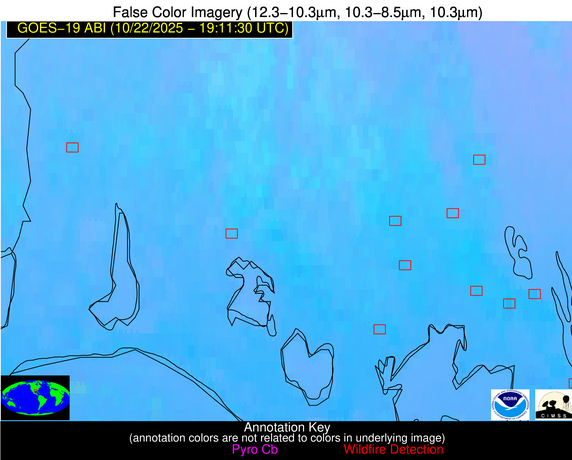
| Number Of Thermal Anomaly Alerts: | 5 |
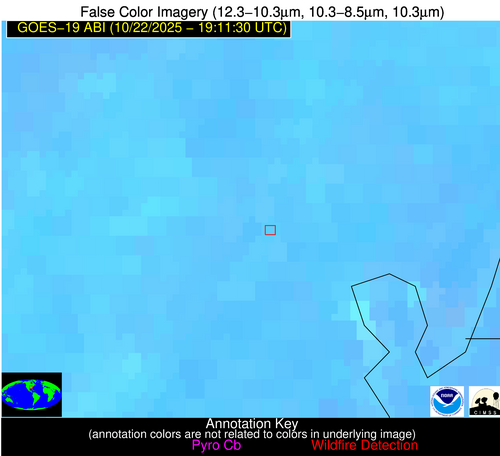
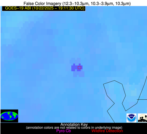
Possible Wildfire
| Basic Information | |
|---|---|
| State/Province(s) | Manitoba |
| Country/Countries | Canada |
| County/Locality(s) | Division No. 15, Manitoba |
| NWS WFO | N/A |
| Identification Method | Enhanced Contextual (Clear) |
| Mean Object Date/Time | 2025-10-22 19:11:20UTC |
| Radiative Center (Lat, Lon): | 50.366390°, -101.095833° |
| Nearby Counties (meeting alert criteria): |
|
| Total Radiative Power Anomaly | n/a |
| Total Radiative Power | 12.50 MW |
| Map: | |
| Additional Information | |
| Alert Status | New Feature |
| Type of Event | Nominal Risk |
| Event Priority Ranking | 4 |
| Maximum Observed BT (3.9 um) | 293.34 K |
| Observed - Background BT (3.9 um) | 3.62 K |
| BT Anomaly (3.9 um) | 4.08 K |
| Maximum Observed - Clear RTM BT (3.9 um) | 14.28 K |
| Maximum Observed BTD (3.9-10/11/12 um) | 10.82 K |
| Observed - Background BTD (3.9-10/11/12 um) | 3.13 K |
| BTD Anomaly (3.9-10/11/12 um) | 3.89 K |
| Similar Pixel Count | 19 |
| BT Time Tendency (3.9 um) | 2.70 K |
| Image Interval | 5.00 minutes |
| Fraction of Surrounding LWIR Pixels that are Colder | 0.85 |
| Fraction of Surrounding Red Channel Pixels that are Brighter | 0.98 |
| Maximum Radiative Power | 12.50 MW |
| Maximum Radiative Power Uncertainty | 0.00 MW |
| Total Radiative Power Uncertainty | 0.00 MW |
| Mean Viewing Angle | 63.10° |
| Mean Solar Zenith Angle | 62.00° |
| Mean Glint Angle | 110.70° |
| Water Fraction | 0.00 |
| Total Pixel Area | 8.80 km2 |
| Latest Satellite Imagery: | |
| View all event imagery » | |
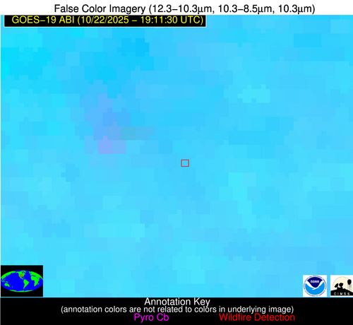
Possible Wildfire
| Basic Information | |
|---|---|
| State/Province(s) | MO |
| Country/Countries | United States |
| County/Locality(s) | New Madrid County, MO |
| NWS WFO | Paducah KY |
| Identification Method | Enhanced Contextual (Cloud) |
| Mean Object Date/Time | 2025-10-22 19:11:51UTC |
| Radiative Center (Lat, Lon): | 36.638889°, -89.673615° |
| Nearby Counties (meeting alert criteria): |
|
| Total Radiative Power Anomaly | n/a |
| Total Radiative Power | 92.14 MW |
| Map: | |
| Additional Information | |
| Alert Status | New Feature |
| Type of Event | Nominal Risk |
| Event Priority Ranking | 4 |
| Maximum Observed BT (3.9 um) | 313.74 K |
| Observed - Background BT (3.9 um) | 11.61 K |
| BT Anomaly (3.9 um) | 7.70 K |
| Maximum Observed - Clear RTM BT (3.9 um) | 23.76 K |
| Maximum Observed BTD (3.9-10/11/12 um) | 19.74 K |
| Observed - Background BTD (3.9-10/11/12 um) | 11.81 K |
| BTD Anomaly (3.9-10/11/12 um) | 14.54 K |
| Similar Pixel Count | 0 |
| BT Time Tendency (3.9 um) | 10.60 K |
| Image Interval | 5.00 minutes |
| Fraction of Surrounding LWIR Pixels that are Colder | 0.35 |
| Fraction of Surrounding Red Channel Pixels that are Brighter | 0.89 |
| Maximum Radiative Power | 47.69 MW |
| Maximum Radiative Power Uncertainty | 0.00 MW |
| Total Radiative Power Uncertainty | 0.00 MW |
| Mean Viewing Angle | 45.40° |
| Mean Solar Zenith Angle | 51.90° |
| Mean Glint Angle | 85.20° |
| Water Fraction | 0.00 |
| Total Pixel Area | 11.40 km2 |
| Latest Satellite Imagery: | |
| View all event imagery » | |
Possible Wildfire
| Basic Information | |
|---|---|
| State/Province(s) | OK |
| Country/Countries | United States |
| County/Locality(s) | Grant County, OK |
| NWS WFO | Norman OK |
| Identification Method | Enhanced Contextual (Clear) |
| Mean Object Date/Time | 2025-10-22 19:11:50UTC |
| Radiative Center (Lat, Lon): | 36.680279°, -98.106110° |
| Nearby Counties (meeting alert criteria): |
|
| Total Radiative Power Anomaly | n/a |
| Total Radiative Power | 13.03 MW |
| Map: | |
| Additional Information | |
| Alert Status | New Feature |
| Type of Event | Nominal Risk |
| Event Priority Ranking | 4 |
| Maximum Observed BT (3.9 um) | 310.57 K |
| Observed - Background BT (3.9 um) | 3.75 K |
| BT Anomaly (3.9 um) | 2.50 K |
| Maximum Observed - Clear RTM BT (3.9 um) | 16.48 K |
| Maximum Observed BTD (3.9-10/11/12 um) | 11.19 K |
| Observed - Background BTD (3.9-10/11/12 um) | 3.23 K |
| BTD Anomaly (3.9-10/11/12 um) | 4.57 K |
| Similar Pixel Count | 22 |
| BT Time Tendency (3.9 um) | 3.10 K |
| Image Interval | 5.00 minutes |
| Fraction of Surrounding LWIR Pixels that are Colder | 0.79 |
| Fraction of Surrounding Red Channel Pixels that are Brighter | 0.94 |
| Maximum Radiative Power | 13.03 MW |
| Maximum Radiative Power Uncertainty | 0.00 MW |
| Total Radiative Power Uncertainty | 0.00 MW |
| Mean Viewing Angle | 49.20° |
| Mean Solar Zenith Angle | 49.30° |
| Mean Glint Angle | 85.30° |
| Water Fraction | 0.00 |
| Total Pixel Area | 6.10 km2 |
| Latest Satellite Imagery: | |
| View all event imagery » | |
Possible Wildfire
| Basic Information | |
|---|---|
| State/Province(s) | LA |
| Country/Countries | United States |
| County/Locality(s) | Calcasieu Parish, LA |
| NWS WFO | Lake Charles LA |
| Identification Method | Enhanced Contextual (Cloud) |
| Mean Object Date/Time | 2025-10-22 19:12:50UTC |
| Radiative Center (Lat, Lon): | 30.203611°, -93.519997° |
| Nearby Counties (meeting alert criteria): |
|
| Total Radiative Power Anomaly | n/a |
| Total Radiative Power | 31.93 MW |
| Map: | |
| Additional Information | |
| Alert Status | New Feature |
| Type of Event | Nominal Risk |
| Event Priority Ranking | 4 |
| Maximum Observed BT (3.9 um) | 313.92 K |
| Observed - Background BT (3.9 um) | 11.00 K |
| BT Anomaly (3.9 um) | 10.10 K |
| Maximum Observed - Clear RTM BT (3.9 um) | 16.87 K |
| Maximum Observed BTD (3.9-10/11/12 um) | 15.29 K |
| Observed - Background BTD (3.9-10/11/12 um) | 9.32 K |
| BTD Anomaly (3.9-10/11/12 um) | 13.12 K |
| Similar Pixel Count | 0 |
| BT Time Tendency (3.9 um) | 7.30 K |
| Image Interval | 5.00 minutes |
| Fraction of Surrounding LWIR Pixels that are Colder | 1.00 |
| Fraction of Surrounding Red Channel Pixels that are Brighter | 0.99 |
| Maximum Radiative Power | 31.93 MW |
| Maximum Radiative Power Uncertainty | 0.00 MW |
| Total Radiative Power Uncertainty | 0.00 MW |
| Mean Viewing Angle | 40.70° |
| Mean Solar Zenith Angle | 44.70° |
| Mean Glint Angle | 72.30° |
| Water Fraction | 0.00 |
| Total Pixel Area | 5.30 km2 |
| Latest Satellite Imagery: | |
| View all event imagery » | |
Possible Wildfire
| Basic Information | |
|---|---|
| State/Province(s) | LA |
| Country/Countries | United States |
| County/Locality(s) | St. Mary Parish, LA |
| NWS WFO | Lake Charles LA |
| Identification Method | Enhanced Contextual (Cloud) |
| Mean Object Date/Time | 2025-10-22 19:12:50UTC |
| Radiative Center (Lat, Lon): | 29.878889°, -91.638611° |
| Nearby Counties (meeting alert criteria): |
|
| Total Radiative Power Anomaly | n/a |
| Total Radiative Power | 38.27 MW |
| Map: | |
| Additional Information | |
| Alert Status | New Feature |
| Type of Event | Nominal Risk |
| Event Priority Ranking | 4 |
| Maximum Observed BT (3.9 um) | 315.39 K |
| Observed - Background BT (3.9 um) | 11.05 K |
| BT Anomaly (3.9 um) | 5.94 K |
| Maximum Observed - Clear RTM BT (3.9 um) | 17.32 K |
| Maximum Observed BTD (3.9-10/11/12 um) | 18.94 K |
| Observed - Background BTD (3.9-10/11/12 um) | 10.31 K |
| BTD Anomaly (3.9-10/11/12 um) | 7.28 K |
| Similar Pixel Count | 0 |
| BT Time Tendency (3.9 um) | 9.00 K |
| Image Interval | 5.00 minutes |
| Fraction of Surrounding LWIR Pixels that are Colder | 0.92 |
| Fraction of Surrounding Red Channel Pixels that are Brighter | 1.00 |
| Maximum Radiative Power | 38.27 MW |
| Maximum Radiative Power Uncertainty | 0.00 MW |
| Total Radiative Power Uncertainty | 0.00 MW |
| Mean Viewing Angle | 39.40° |
| Mean Solar Zenith Angle | 45.10° |
| Mean Glint Angle | 71.70° |
| Water Fraction | 0.00 |
| Total Pixel Area | 5.20 km2 |
| Latest Satellite Imagery: | |
| View all event imagery » | |


