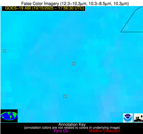
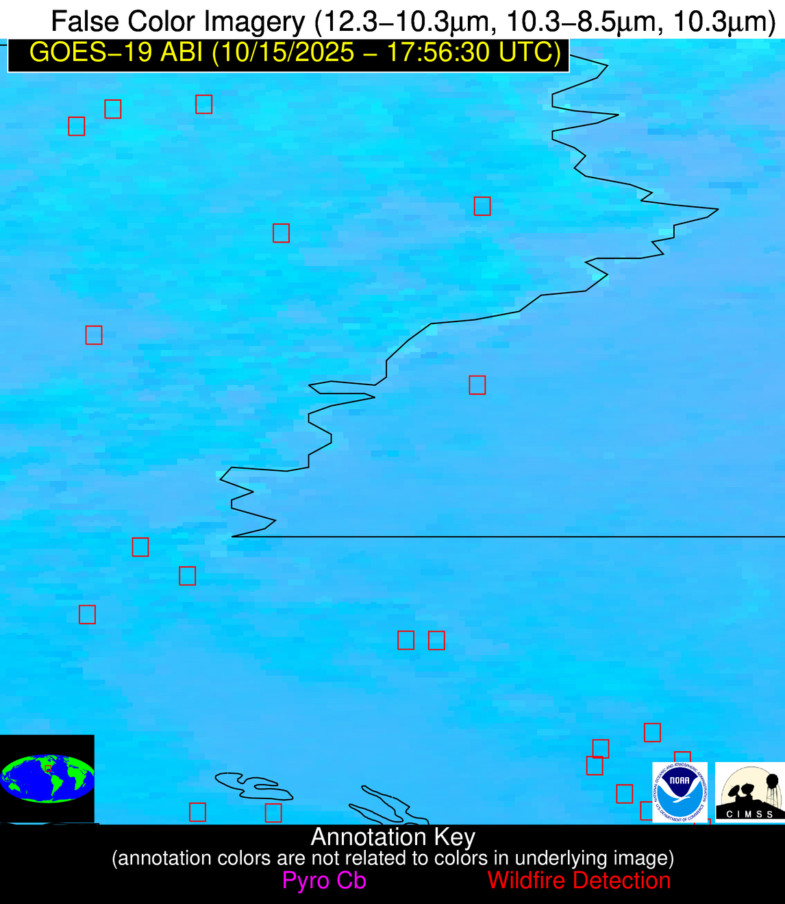
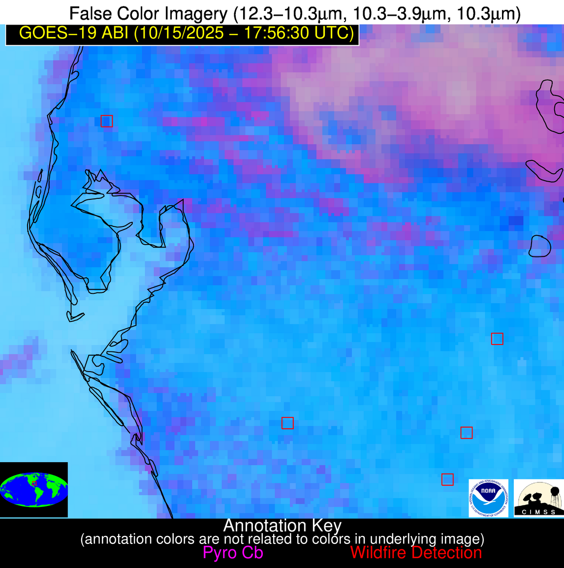
Wildfire Alert Report
| Date: | 2025-10-15 |
|---|---|
| Time: | 17:56:17 |
| Production Date and Time: | 2025-10-15 18:01:29 UTC |
| Primary Instrument: | GOES-19 ABI |
| Wmo Spacecraft Id: | 666 |
| Location/orbit: | GEO |
| L1 File: | OR_ABI-L1b-RadC-M6C14_G19_s20252881756172_e20252881758545_c20252881759030.nc |
| L1 File(s) - Temporal | OR_ABI-L1b-RadC-M6C14_G19_s20252881751172_e20252881753545_c20252881754034.nc |
| Number Of Thermal Anomaly Alerts: | 7 |
Possible Wildfire
| Basic Information | |
|---|---|
| State/Province(s) | MO |
| Country/Countries | United States |
| County/Locality(s) | Vernon County, MO |
| NWS WFO | Springfield MO |
| Identification Method | Enhanced Contextual (Clear) |
| Mean Object Date/Time | 2025-10-15 17:56:50UTC |
| Radiative Center (Lat, Lon): | 37.935001°, -94.548889° |
| Nearby Counties (meeting alert criteria): |
|
| Total Radiative Power Anomaly | n/a |
| Total Radiative Power | 32.53 MW |
| Map: | |
| Additional Information | |
| Alert Status | New Feature |
| Type of Event | Nominal Risk |
| Event Priority Ranking | 4 |
| Maximum Observed BT (3.9 um) | 311.18 K |
| Observed - Background BT (3.9 um) | 4.19 K |
| BT Anomaly (3.9 um) | 3.38 K |
| Maximum Observed - Clear RTM BT (3.9 um) | 8.90 K |
| Maximum Observed BTD (3.9-10/11/12 um) | 20.33 K |
| Observed - Background BTD (3.9-10/11/12 um) | 3.96 K |
| BTD Anomaly (3.9-10/11/12 um) | 4.50 K |
| Similar Pixel Count | 25 |
| BT Time Tendency (3.9 um) | 2.80 K |
| Image Interval | 5.00 minutes |
| Fraction of Surrounding LWIR Pixels that are Colder | 0.69 |
| Fraction of Surrounding Red Channel Pixels that are Brighter | 1.00 |
| Maximum Radiative Power | 19.01 MW |
| Maximum Radiative Power Uncertainty | 0.00 MW |
| Total Radiative Power Uncertainty | 0.00 MW |
| Mean Viewing Angle | 48.70° |
| Mean Solar Zenith Angle | 46.30° |
| Mean Glint Angle | 91.60° |
| Water Fraction | 0.00 |
| Total Pixel Area | 12.10 km2 |
| Latest Satellite Imagery: | |
| View all event imagery » | |
Possible Wildfire
| Basic Information | |
|---|---|
| State/Province(s) | AR |
| Country/Countries | United States |
| County/Locality(s) | Craighead County, AR |
| NWS WFO | Memphis TN |
| Identification Method | Enhanced Contextual (Clear) |
| Mean Object Date/Time | 2025-10-15 17:57:21UTC |
| Radiative Center (Lat, Lon): | 35.855000°, -90.591393° |
| Nearby Counties (meeting alert criteria): |
|
| Total Radiative Power Anomaly | n/a |
| Total Radiative Power | 35.55 MW |
| Map: | |
| Additional Information | |
| Alert Status | New Feature |
| Type of Event | Nominal Risk |
| Event Priority Ranking | 4 |
| Maximum Observed BT (3.9 um) | 314.15 K |
| Observed - Background BT (3.9 um) | 5.22 K |
| BT Anomaly (3.9 um) | 2.25 K |
| Maximum Observed - Clear RTM BT (3.9 um) | 13.43 K |
| Maximum Observed BTD (3.9-10/11/12 um) | 16.72 K |
| Observed - Background BTD (3.9-10/11/12 um) | 4.87 K |
| BTD Anomaly (3.9-10/11/12 um) | 3.32 K |
| Similar Pixel Count | 19 |
| BT Time Tendency (3.9 um) | 2.10 K |
| Image Interval | 5.00 minutes |
| Fraction of Surrounding LWIR Pixels that are Colder | 0.69 |
| Fraction of Surrounding Red Channel Pixels that are Brighter | 0.62 |
| Maximum Radiative Power | 19.07 MW |
| Maximum Radiative Power Uncertainty | 0.00 MW |
| Total Radiative Power Uncertainty | 0.00 MW |
| Mean Viewing Angle | 44.90° |
| Mean Solar Zenith Angle | 44.20° |
| Mean Glint Angle | 85.80° |
| Water Fraction | 0.00 |
| Total Pixel Area | 11.30 km2 |
| Latest Satellite Imagery: | |
| View all event imagery » | |
Possible Wildfire
| Basic Information | |
|---|---|
| State/Province(s) | LA |
| Country/Countries | United States |
| County/Locality(s) | Morehouse Parish, LA |
| NWS WFO | Jackson MS |
| Identification Method | Enhanced Contextual (Cloud) |
| Mean Object Date/Time | 2025-10-15 17:57:20UTC |
| Radiative Center (Lat, Lon): | 32.759445°, -91.674721° |
| Nearby Counties (meeting alert criteria): |
|
| Total Radiative Power Anomaly | n/a |
| Total Radiative Power | 112.50 MW |
| Map: | |
| Additional Information | |
| Alert Status | New Feature |
| Type of Event | Nominal Risk |
| Event Priority Ranking | 4 |
| Maximum Observed BT (3.9 um) | 333.22 K |
| Observed - Background BT (3.9 um) | 18.74 K |
| BT Anomaly (3.9 um) | 13.56 K |
| Maximum Observed - Clear RTM BT (3.9 um) | 29.65 K |
| Maximum Observed BTD (3.9-10/11/12 um) | 28.53 K |
| Observed - Background BTD (3.9-10/11/12 um) | 17.15 K |
| BTD Anomaly (3.9-10/11/12 um) | 18.31 K |
| Similar Pixel Count | 0 |
| BT Time Tendency (3.9 um) | 16.90 K |
| Image Interval | 5.00 minutes |
| Fraction of Surrounding LWIR Pixels that are Colder | 0.99 |
| Fraction of Surrounding Red Channel Pixels that are Brighter | 0.54 |
| Maximum Radiative Power | 112.50 MW |
| Maximum Radiative Power Uncertainty | 0.00 MW |
| Total Radiative Power Uncertainty | 0.00 MW |
| Mean Viewing Angle | 42.30° |
| Mean Solar Zenith Angle | 41.10° |
| Mean Glint Angle | 79.90° |
| Water Fraction | 0.00 |
| Total Pixel Area | 5.40 km2 |
| Latest Satellite Imagery: | |
| View all event imagery » | |
Possible Wildfire
| Basic Information | |
|---|---|
| State/Province(s) | MS |
| Country/Countries | United States |
| County/Locality(s) | Adams County, MS |
| NWS WFO | Jackson MS |
| Identification Method | Enhanced Contextual (Clear) |
| Mean Object Date/Time | 2025-10-15 17:57:20UTC |
| Radiative Center (Lat, Lon): | 31.617222°, -91.263054° |
| Nearby Counties (meeting alert criteria): |
|
| Total Radiative Power Anomaly | n/a |
| Total Radiative Power | 17.51 MW |
| Map: | |
| Additional Information | |
| Alert Status | New Feature |
| Type of Event | Nominal Risk |
| Event Priority Ranking | 4 |
| Maximum Observed BT (3.9 um) | 306.28 K |
| Observed - Background BT (3.9 um) | 2.72 K |
| BT Anomaly (3.9 um) | 1.78 K |
| Maximum Observed - Clear RTM BT (3.9 um) | 4.77 K |
| Maximum Observed BTD (3.9-10/11/12 um) | 9.09 K |
| Observed - Background BTD (3.9-10/11/12 um) | 2.47 K |
| BTD Anomaly (3.9-10/11/12 um) | 2.56 K |
| Similar Pixel Count | 20 |
| BT Time Tendency (3.9 um) | 1.80 K |
| Image Interval | 5.00 minutes |
| Fraction of Surrounding LWIR Pixels that are Colder | 0.67 |
| Fraction of Surrounding Red Channel Pixels that are Brighter | 1.00 |
| Maximum Radiative Power | 9.49 MW |
| Maximum Radiative Power Uncertainty | 0.00 MW |
| Total Radiative Power Uncertainty | 0.00 MW |
| Mean Viewing Angle | 40.90° |
| Mean Solar Zenith Angle | 40.00° |
| Mean Glint Angle | 77.50° |
| Water Fraction | 0.00 |
| Total Pixel Area | 10.60 km2 |
| Latest Satellite Imagery: | |
| View all event imagery » | |
Possible Wildfire
| Basic Information | |
|---|---|
| State/Province(s) | LA |
| Country/Countries | United States |
| County/Locality(s) | Assumption Parish, LA |
| NWS WFO | New Orleans LA |
| Identification Method | Enhanced Contextual (Clear) |
| Mean Object Date/Time | 2025-10-15 17:57:50UTC |
| Radiative Center (Lat, Lon): | 30.069166°, -91.086388° |
| Nearby Counties (meeting alert criteria): |
|
| Total Radiative Power Anomaly | n/a |
| Total Radiative Power | 13.95 MW |
| Map: | |
| Additional Information | |
| Alert Status | New Feature |
| Type of Event | Nominal Risk |
| Event Priority Ranking | 4 |
| Maximum Observed BT (3.9 um) | 310.86 K |
| Observed - Background BT (3.9 um) | 4.58 K |
| BT Anomaly (3.9 um) | 1.66 K |
| Maximum Observed - Clear RTM BT (3.9 um) | 7.16 K |
| Maximum Observed BTD (3.9-10/11/12 um) | 14.01 K |
| Observed - Background BTD (3.9-10/11/12 um) | 4.16 K |
| BTD Anomaly (3.9-10/11/12 um) | 2.26 K |
| Similar Pixel Count | 18 |
| BT Time Tendency (3.9 um) | 1.50 K |
| Image Interval | 5.00 minutes |
| Fraction of Surrounding LWIR Pixels that are Colder | 0.66 |
| Fraction of Surrounding Red Channel Pixels that are Brighter | 0.69 |
| Maximum Radiative Power | 13.95 MW |
| Maximum Radiative Power Uncertainty | 0.00 MW |
| Total Radiative Power Uncertainty | 0.00 MW |
| Mean Viewing Angle | 39.30° |
| Mean Solar Zenith Angle | 38.50° |
| Mean Glint Angle | 74.20° |
| Water Fraction | 0.00 |
| Total Pixel Area | 5.20 km2 |
| Latest Satellite Imagery: | |
| View all event imagery » | |
Possible Wildfire
| Basic Information | |
|---|---|
| State/Province(s) | FL |
| Country/Countries | United States |
| County/Locality(s) | Hillsborough County, FL |
| NWS WFO | Tampa Bay Ruskin FL |
| Identification Method | Enhanced Contextual (Clear) |
| Mean Object Date/Time | 2025-10-15 17:57:52UTC |
| Radiative Center (Lat, Lon): | 28.167500°, -82.632500° |
| Nearby Counties (meeting alert criteria): |
|
| Total Radiative Power Anomaly | n/a |
| Total Radiative Power | 23.02 MW |
| Map: | |
| Additional Information | |
| Alert Status | New Feature |
| Type of Event | Nominal Risk |
| Event Priority Ranking | 4 |
| Maximum Observed BT (3.9 um) | 314.77 K |
| Observed - Background BT (3.9 um) | 6.80 K |
| BT Anomaly (3.9 um) | 3.35 K |
| Maximum Observed - Clear RTM BT (3.9 um) | 13.31 K |
| Maximum Observed BTD (3.9-10/11/12 um) | 20.71 K |
| Observed - Background BTD (3.9-10/11/12 um) | 6.35 K |
| BTD Anomaly (3.9-10/11/12 um) | 3.67 K |
| Similar Pixel Count | 12 |
| BT Time Tendency (3.9 um) | 5.70 K |
| Image Interval | 5.00 minutes |
| Fraction of Surrounding LWIR Pixels that are Colder | 0.79 |
| Fraction of Surrounding Red Channel Pixels that are Brighter | 0.99 |
| Maximum Radiative Power | 23.02 MW |
| Maximum Radiative Power Uncertainty | 0.00 MW |
| Total Radiative Power Uncertainty | 0.00 MW |
| Mean Viewing Angle | 34.00° |
| Mean Solar Zenith Angle | 37.80° |
| Mean Glint Angle | 68.70° |
| Water Fraction | 0.00 |
| Total Pixel Area | 4.80 km2 |
| Latest Satellite Imagery: | |
| View all event imagery » | |
Possible Wildfire
| Basic Information | |
|---|---|
| State/Province(s) | FL |
| Country/Countries | United States |
| County/Locality(s) | DeSoto County, FL |
| NWS WFO | Tampa Bay Ruskin FL |
| Identification Method | Enhanced Contextual (Clear) |
| Mean Object Date/Time | 2025-10-15 17:57:52UTC |
| Radiative Center (Lat, Lon): | 27.301390°, -81.618332° |
| Nearby Counties (meeting alert criteria): |
|
| Total Radiative Power Anomaly | n/a |
| Total Radiative Power | 13.76 MW |
| Map: | |
| Additional Information | |
| Alert Status | New Feature |
| Type of Event | Nominal Risk |
| Event Priority Ranking | 4 |
| Maximum Observed BT (3.9 um) | 310.20 K |
| Observed - Background BT (3.9 um) | 3.05 K |
| BT Anomaly (3.9 um) | 1.86 K |
| Maximum Observed - Clear RTM BT (3.9 um) | 9.38 K |
| Maximum Observed BTD (3.9-10/11/12 um) | 12.21 K |
| Observed - Background BTD (3.9-10/11/12 um) | 2.99 K |
| BTD Anomaly (3.9-10/11/12 um) | 2.35 K |
| Similar Pixel Count | 25 |
| BT Time Tendency (3.9 um) | 2.40 K |
| Image Interval | 5.00 minutes |
| Fraction of Surrounding LWIR Pixels that are Colder | 0.56 |
| Fraction of Surrounding Red Channel Pixels that are Brighter | 1.00 |
| Maximum Radiative Power | 13.76 MW |
| Maximum Radiative Power Uncertainty | 0.00 MW |
| Total Radiative Power Uncertainty | 0.00 MW |
| Mean Viewing Angle | 32.80° |
| Mean Solar Zenith Angle | 37.20° |
| Mean Glint Angle | 67.00° |
| Water Fraction | 0.00 |
| Total Pixel Area | 4.80 km2 |
| Latest Satellite Imagery: | |
| View all event imagery » | |


