Jan 2026: Due to an ongoing data center cooling system construction project, NGFS data outages may occur with little or no notice.
Wildfire Alert Report
| Date: | 2025-10-03 |
|---|---|
| Time: | 18:11:17 |
| Production Date and Time: | 2025-10-03 18:16:23 UTC |
| Primary Instrument: | GOES-19 ABI |
| Wmo Spacecraft Id: | 666 |
| Location/orbit: | GEO |
| L1 File: | OR_ABI-L1b-RadC-M6C14_G19_s20252761811172_e20252761813545_c20252761814002.nc |
| L1 File(s) - Temporal | OR_ABI-L1b-RadC-M6C14_G19_s20252761806172_e20252761808546_c20252761809042.nc |
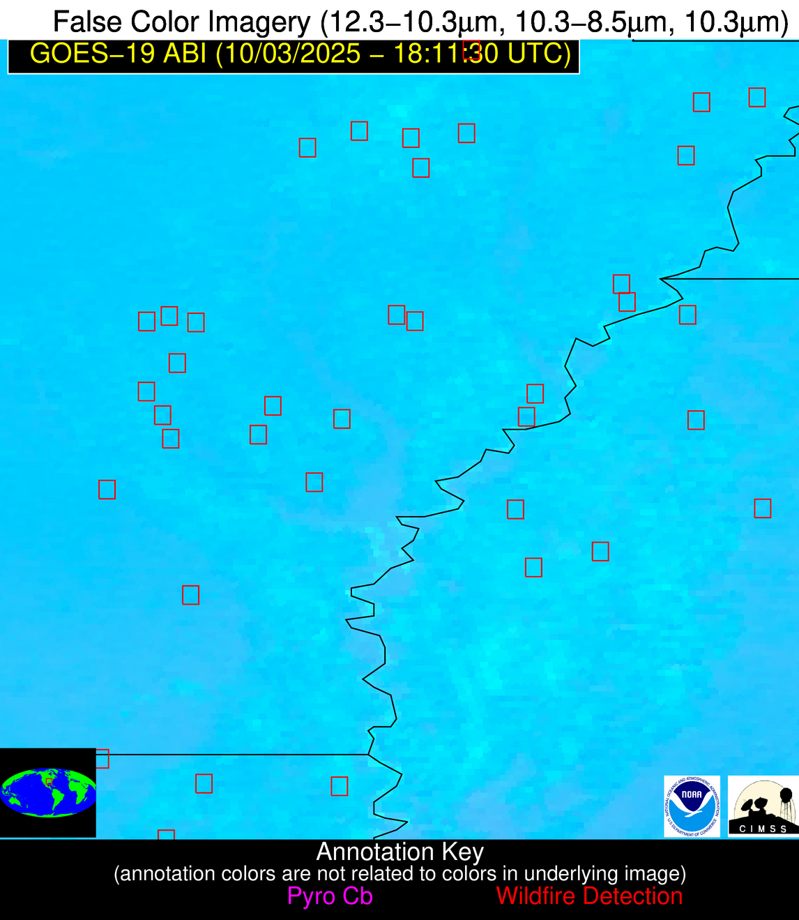
| Number Of Thermal Anomaly Alerts: | 8 |
Possible Wildfire
| Basic Information | |
|---|---|
| State/Province(s) | MN |
| Country/Countries | United States |
| County/Locality(s) | Marshall County, MN |
| NWS WFO | Grand Forks ND |
| Identification Method | Enhanced Contextual (Clear) |
| Mean Object Date/Time | 2025-10-03 18:11:20UTC |
| Radiative Center (Lat, Lon): | 48.278889°, -96.848892° |
| Nearby Counties (meeting alert criteria): |
|
| Total Radiative Power Anomaly | n/a |
| Total Radiative Power | 25.37 MW |
| Map: | |
| Additional Information | |
| Alert Status | New Feature |
| Type of Event | Nominal Risk |
| Event Priority Ranking | 4 |
| Maximum Observed BT (3.9 um) | 305.64 K |
| Observed - Background BT (3.9 um) | 3.09 K |
| BT Anomaly (3.9 um) | 3.50 K |
| Maximum Observed - Clear RTM BT (3.9 um) | 6.15 K |
| Maximum Observed BTD (3.9-10/11/12 um) | 22.61 K |
| Observed - Background BTD (3.9-10/11/12 um) | 3.59 K |
| BTD Anomaly (3.9-10/11/12 um) | 3.14 K |
| Similar Pixel Count | 21 |
| BT Time Tendency (3.9 um) | 1.10 K |
| Image Interval | 5.00 minutes |
| Fraction of Surrounding LWIR Pixels that are Colder | 0.31 |
| Fraction of Surrounding Red Channel Pixels that are Brighter | 1.00 |
| Maximum Radiative Power | 25.37 MW |
| Maximum Radiative Power Uncertainty | 0.00 MW |
| Total Radiative Power Uncertainty | 0.00 MW |
| Mean Viewing Angle | 59.60° |
| Mean Solar Zenith Angle | 52.10° |
| Mean Glint Angle | 107.30° |
| Water Fraction | 0.00 |
| Total Pixel Area | 7.90 km2 |
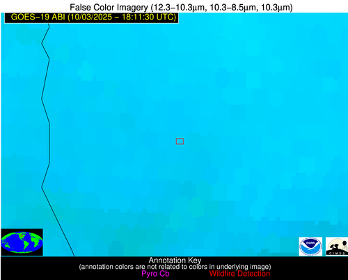
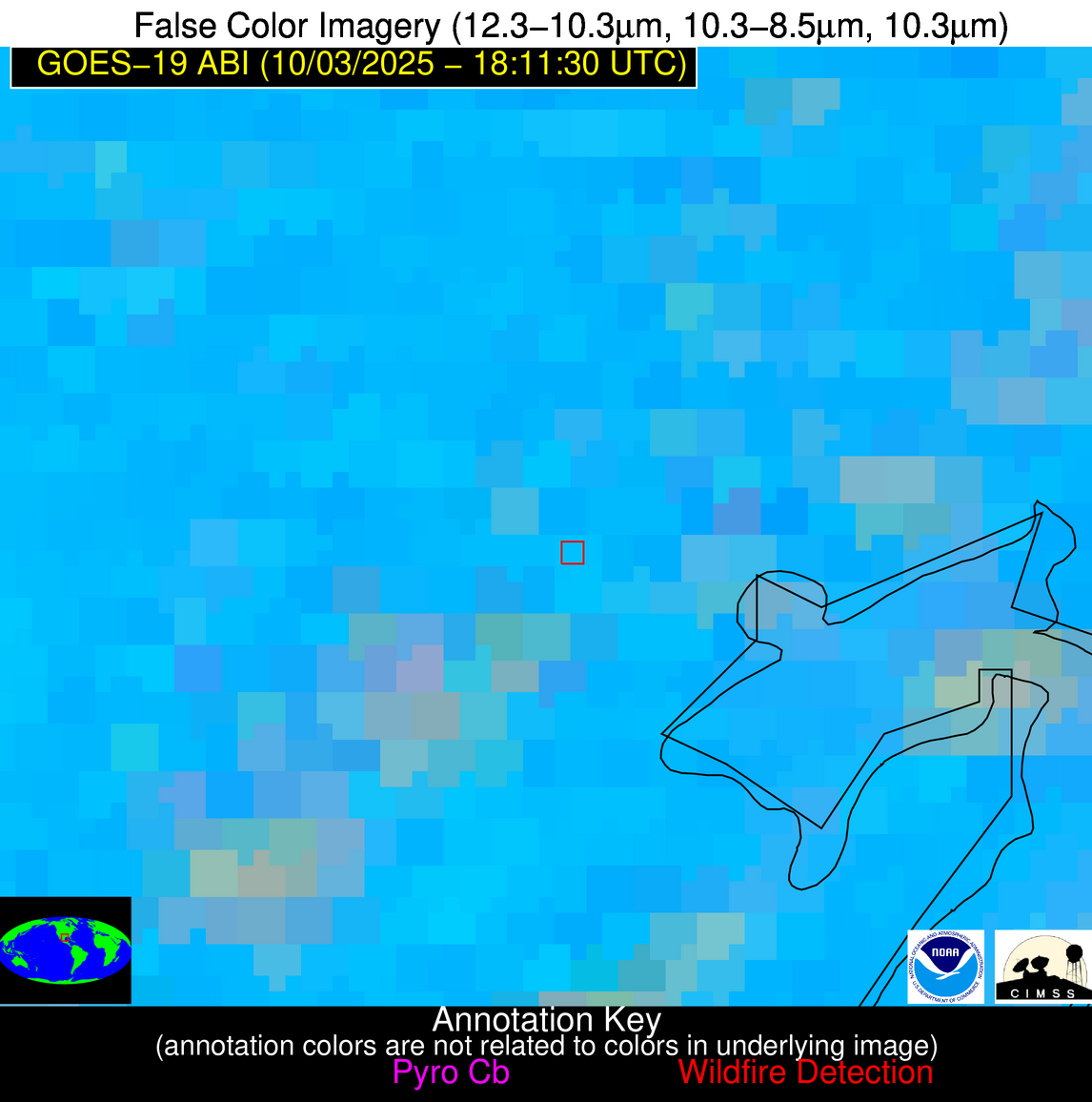
| Latest Satellite Imagery: | |
| View all event imagery » | |
Possible Wildfire
| Basic Information | |
|---|---|
| State/Province(s) | AR |
| Country/Countries | United States |
| County/Locality(s) | Mississippi County, AR |
| NWS WFO | Memphis TN |
| Identification Method | Enhanced Contextual (Clear) |
| Mean Object Date/Time | 2025-10-03 18:12:21UTC |
| Radiative Center (Lat, Lon): | 35.742779°, -90.177223° |
| Nearby Counties (meeting alert criteria): |
|
| Total Radiative Power Anomaly | n/a |
| Total Radiative Power | 41.21 MW |
| Map: | |
| Additional Information | |
| Alert Status | New Feature |
| Type of Event | Nominal Risk |
| Event Priority Ranking | 4 |
| Maximum Observed BT (3.9 um) | 317.88 K |
| Observed - Background BT (3.9 um) | 6.21 K |
| BT Anomaly (3.9 um) | 3.34 K |
| Maximum Observed - Clear RTM BT (3.9 um) | 17.10 K |
| Maximum Observed BTD (3.9-10/11/12 um) | 20.27 K |
| Observed - Background BTD (3.9-10/11/12 um) | 5.47 K |
| BTD Anomaly (3.9-10/11/12 um) | 4.45 K |
| Similar Pixel Count | 25 |
| BT Time Tendency (3.9 um) | 3.70 K |
| Image Interval | 5.00 minutes |
| Fraction of Surrounding LWIR Pixels that are Colder | 0.83 |
| Fraction of Surrounding Red Channel Pixels that are Brighter | 0.87 |
| Maximum Radiative Power | 24.24 MW |
| Maximum Radiative Power Uncertainty | 0.00 MW |
| Total Radiative Power Uncertainty | 0.00 MW |
| Mean Viewing Angle | 44.70° |
| Mean Solar Zenith Angle | 39.80° |
| Mean Glint Angle | 80.30° |
| Water Fraction | 0.00 |
| Total Pixel Area | 11.20 km2 |
| Latest Satellite Imagery: | |
| View all event imagery » | |
Possible Wildfire
| Basic Information | |
|---|---|
| State/Province(s) | MS |
| Country/Countries | United States |
| County/Locality(s) | Panola County, MS |
| NWS WFO | Memphis TN |
| Identification Method | Enhanced Contextual (Clear) |
| Mean Object Date/Time | 2025-10-03 18:12:21UTC |
| Radiative Center (Lat, Lon): | 34.406113°, -90.193611° |
| Nearby Counties (meeting alert criteria): |
|
| Total Radiative Power Anomaly | n/a |
| Total Radiative Power | 17.46 MW |
| Map: | |
| Additional Information | |
| Alert Status | New Feature |
| Type of Event | Nominal Risk |
| Event Priority Ranking | 4 |
| Maximum Observed BT (3.9 um) | 314.59 K |
| Observed - Background BT (3.9 um) | 4.23 K |
| BT Anomaly (3.9 um) | 1.76 K |
| Maximum Observed - Clear RTM BT (3.9 um) | 13.47 K |
| Maximum Observed BTD (3.9-10/11/12 um) | 15.42 K |
| Observed - Background BTD (3.9-10/11/12 um) | 4.14 K |
| BTD Anomaly (3.9-10/11/12 um) | 3.19 K |
| Similar Pixel Count | 24 |
| BT Time Tendency (3.9 um) | 2.10 K |
| Image Interval | 5.00 minutes |
| Fraction of Surrounding LWIR Pixels that are Colder | 0.66 |
| Fraction of Surrounding Red Channel Pixels that are Brighter | 0.68 |
| Maximum Radiative Power | 17.46 MW |
| Maximum Radiative Power Uncertainty | 0.00 MW |
| Total Radiative Power Uncertainty | 0.00 MW |
| Mean Viewing Angle | 43.30° |
| Mean Solar Zenith Angle | 38.50° |
| Mean Glint Angle | 77.50° |
| Water Fraction | 0.00 |
| Total Pixel Area | 5.50 km2 |
| Latest Satellite Imagery: | |
| View all event imagery » | |
Possible Wildfire
| Basic Information | |
|---|---|
| State/Province(s) | AR |
| Country/Countries | United States |
| County/Locality(s) | Jefferson County, AR |
| NWS WFO | Little Rock AR |
| Identification Method | Enhanced Contextual (Clear) |
| Mean Object Date/Time | 2025-10-03 18:12:20UTC |
| Radiative Center (Lat, Lon): | 34.426945°, -91.777222° |
| Nearby Counties (meeting alert criteria): |
|
| Total Radiative Power Anomaly | n/a |
| Total Radiative Power | 12.89 MW |
| Map: | |
| Additional Information | |
| Alert Status | New Feature |
| Type of Event | Nominal Risk |
| Event Priority Ranking | 4 |
| Maximum Observed BT (3.9 um) | 312.13 K |
| Observed - Background BT (3.9 um) | 3.65 K |
| BT Anomaly (3.9 um) | 1.67 K |
| Maximum Observed - Clear RTM BT (3.9 um) | 9.14 K |
| Maximum Observed BTD (3.9-10/11/12 um) | 16.17 K |
| Observed - Background BTD (3.9-10/11/12 um) | 3.30 K |
| BTD Anomaly (3.9-10/11/12 um) | 2.44 K |
| Similar Pixel Count | 24 |
| BT Time Tendency (3.9 um) | 3.10 K |
| Image Interval | 5.00 minutes |
| Fraction of Surrounding LWIR Pixels that are Colder | 0.69 |
| Fraction of Surrounding Red Channel Pixels that are Brighter | 0.93 |
| Maximum Radiative Power | 12.89 MW |
| Maximum Radiative Power Uncertainty | 0.00 MW |
| Total Radiative Power Uncertainty | 0.00 MW |
| Mean Viewing Angle | 44.00° |
| Mean Solar Zenith Angle | 38.40° |
| Mean Glint Angle | 78.10° |
| Water Fraction | 0.00 |
| Total Pixel Area | 5.60 km2 |
| Latest Satellite Imagery: | |
| View all event imagery » | |
Possible Wildfire
| Basic Information | |
|---|---|
| State/Province(s) | AR |
| Country/Countries | United States |
| County/Locality(s) | Jefferson County, AR |
| NWS WFO | Little Rock AR |
| Identification Method | Enhanced Contextual (Clear) |
| Mean Object Date/Time | 2025-10-03 18:12:20UTC |
| Radiative Center (Lat, Lon): | 34.114166°, -91.942223° |
| Nearby Counties (meeting alert criteria): |
|
| Total Radiative Power Anomaly | n/a |
| Total Radiative Power | 8.86 MW |
| Map: | |
| Additional Information | |
| Alert Status | New Feature |
| Type of Event | Nominal Risk |
| Event Priority Ranking | 4 |
| Maximum Observed BT (3.9 um) | 310.34 K |
| Observed - Background BT (3.9 um) | 5.00 K |
| BT Anomaly (3.9 um) | 1.67 K |
| Maximum Observed - Clear RTM BT (3.9 um) | 8.46 K |
| Maximum Observed BTD (3.9-10/11/12 um) | 14.91 K |
| Observed - Background BTD (3.9-10/11/12 um) | 4.16 K |
| BTD Anomaly (3.9-10/11/12 um) | 2.20 K |
| Similar Pixel Count | 17 |
| BT Time Tendency (3.9 um) | 2.40 K |
| Image Interval | 5.00 minutes |
| Fraction of Surrounding LWIR Pixels that are Colder | 0.72 |
| Fraction of Surrounding Red Channel Pixels that are Brighter | 0.49 |
| Maximum Radiative Power | 8.86 MW |
| Maximum Radiative Power Uncertainty | 0.00 MW |
| Total Radiative Power Uncertainty | 0.00 MW |
| Mean Viewing Angle | 43.70° |
| Mean Solar Zenith Angle | 38.00° |
| Mean Glint Angle | 77.50° |
| Water Fraction | 0.00 |
| Total Pixel Area | 5.50 km2 |
| Latest Satellite Imagery: | |
| View all event imagery » | |
Possible Wildfire
| Basic Information | |
|---|---|
| State/Province(s) | MS |
| Country/Countries | United States |
| County/Locality(s) | Sunflower County, MS |
| NWS WFO | Jackson MS |
| Identification Method | Enhanced Contextual (Clear) |
| Mean Object Date/Time | 2025-10-03 18:12:21UTC |
| Radiative Center (Lat, Lon): | 33.853889°, -90.477501° |
| Nearby Counties (meeting alert criteria): |
|
| Total Radiative Power Anomaly | n/a |
| Total Radiative Power | 19.97 MW |
| Map: | |
| Additional Information | |
| Alert Status | New Feature |
| Type of Event | Nominal Risk |
| Event Priority Ranking | 4 |
| Maximum Observed BT (3.9 um) | 317.63 K |
| Observed - Background BT (3.9 um) | 4.08 K |
| BT Anomaly (3.9 um) | 2.63 K |
| Maximum Observed - Clear RTM BT (3.9 um) | 13.50 K |
| Maximum Observed BTD (3.9-10/11/12 um) | 15.23 K |
| Observed - Background BTD (3.9-10/11/12 um) | 3.48 K |
| BTD Anomaly (3.9-10/11/12 um) | 3.31 K |
| Similar Pixel Count | 24 |
| BT Time Tendency (3.9 um) | 1.90 K |
| Image Interval | 5.00 minutes |
| Fraction of Surrounding LWIR Pixels that are Colder | 0.71 |
| Fraction of Surrounding Red Channel Pixels that are Brighter | 1.00 |
| Maximum Radiative Power | 19.97 MW |
| Maximum Radiative Power Uncertainty | 0.00 MW |
| Total Radiative Power Uncertainty | 0.00 MW |
| Mean Viewing Angle | 42.80° |
| Mean Solar Zenith Angle | 37.90° |
| Mean Glint Angle | 76.50° |
| Water Fraction | 0.00 |
| Total Pixel Area | 5.50 km2 |
| Latest Satellite Imagery: | |
| View all event imagery » | |
Possible Wildfire
| Basic Information | |
|---|---|
| State/Province(s) | LA |
| Country/Countries | United States |
| County/Locality(s) | Morehouse Parish, LA |
| NWS WFO | Jackson MS |
| Identification Method | Enhanced Contextual (Clear) |
| Mean Object Date/Time | 2025-10-03 18:12:20UTC |
| Radiative Center (Lat, Lon): | 32.877777°, -91.654442° |
| Nearby Counties (meeting alert criteria): |
|
| Total Radiative Power Anomaly | n/a |
| Total Radiative Power | 33.30 MW |
| Map: | |
| Additional Information | |
| Alert Status | New Feature |
| Type of Event | Nominal Risk |
| Event Priority Ranking | 4 |
| Maximum Observed BT (3.9 um) | 316.40 K |
| Observed - Background BT (3.9 um) | 4.76 K |
| BT Anomaly (3.9 um) | 3.01 K |
| Maximum Observed - Clear RTM BT (3.9 um) | 12.37 K |
| Maximum Observed BTD (3.9-10/11/12 um) | 15.66 K |
| Observed - Background BTD (3.9-10/11/12 um) | 3.56 K |
| BTD Anomaly (3.9-10/11/12 um) | 3.87 K |
| Similar Pixel Count | 25 |
| BT Time Tendency (3.9 um) | 2.60 K |
| Image Interval | 5.00 minutes |
| Fraction of Surrounding LWIR Pixels that are Colder | 0.94 |
| Fraction of Surrounding Red Channel Pixels that are Brighter | 0.50 |
| Maximum Radiative Power | 33.30 MW |
| Maximum Radiative Power Uncertainty | 0.00 MW |
| Total Radiative Power Uncertainty | 0.00 MW |
| Mean Viewing Angle | 42.40° |
| Mean Solar Zenith Angle | 36.90° |
| Mean Glint Angle | 74.90° |
| Water Fraction | 0.00 |
| Total Pixel Area | 10.80 km2 |
| Latest Satellite Imagery: | |
| View all event imagery » | |
Possible Wildfire
| Basic Information | |
|---|---|
| State/Province(s) | TX |
| Country/Countries | United States |
| County/Locality(s) | Refugio County, TX |
| NWS WFO | Corpus Christi TX |
| Identification Method | Enhanced Contextual (Clear) |
| Mean Object Date/Time | 2025-10-03 18:12:50UTC |
| Radiative Center (Lat, Lon): | 28.178888°, -97.263885° |
| Nearby Counties (meeting alert criteria): |
|
| Total Radiative Power Anomaly | n/a |
| Total Radiative Power | 4.21 MW |
| Map: | |
| Additional Information | |
| Alert Status | New Feature |
| Type of Event | Likely a Solar Farm |
| Event Priority Ranking | 4 |
| Maximum Observed BT (3.9 um) | 313.23 K |
| Observed - Background BT (3.9 um) | 5.81 K |
| BT Anomaly (3.9 um) | 2.26 K |
| Maximum Observed - Clear RTM BT (3.9 um) | 5.11 K |
| Maximum Observed BTD (3.9-10/11/12 um) | 22.36 K |
| Observed - Background BTD (3.9-10/11/12 um) | 5.90 K |
| BTD Anomaly (3.9-10/11/12 um) | 2.61 K |
| Similar Pixel Count | 25 |
| BT Time Tendency (3.9 um) | 5.80 K |
| Image Interval | 5.00 minutes |
| Fraction of Surrounding LWIR Pixels that are Colder | 0.69 |
| Fraction of Surrounding Red Channel Pixels that are Brighter | 0.82 |
| Maximum Radiative Power | 4.21 MW |
| Maximum Radiative Power Uncertainty | 0.00 MW |
| Total Radiative Power Uncertainty | 0.00 MW |
| Mean Viewing Angle | 41.10° |
| Mean Solar Zenith Angle | 32.00° |
| Mean Glint Angle | 68.70° |
| Water Fraction | 0.00 |
| Total Pixel Area | 5.30 km2 |
| Latest Satellite Imagery: | |
| View all event imagery » | |


