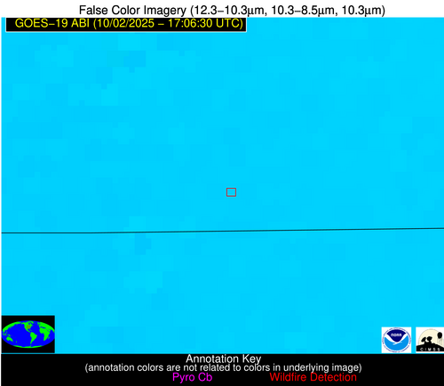
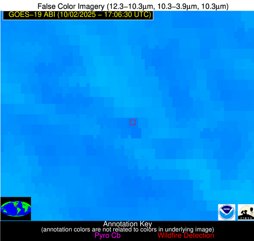
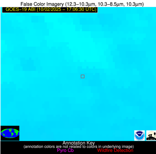
Wildfire Alert Report
| Date: | 2025-10-02 |
|---|---|
| Time: | 17:06:17 |
| Production Date and Time: | 2025-10-02 17:11:32 UTC |
| Primary Instrument: | GOES-19 ABI |
| Wmo Spacecraft Id: | 666 |
| Location/orbit: | GEO |
| L1 File: | OR_ABI-L1b-RadC-M6C14_G19_s20252751706171_e20252751708545_c20252751709043.nc |
| L1 File(s) - Temporal | OR_ABI-L1b-RadC-M6C14_G19_s20252751701171_e20252751703545_c20252751704042.nc |
| Number Of Thermal Anomaly Alerts: | 5 |
Possible Wildfire
| Basic Information | |
|---|---|
| State/Province(s) | Saskatchewan |
| Country/Countries | Canada |
| County/Locality(s) | Division No. 10, Saskatchewan |
| NWS WFO | N/A |
| Identification Method | Enhanced Contextual (Clear) |
| Mean Object Date/Time | 2025-10-02 17:06:20UTC |
| Radiative Center (Lat, Lon): | 51.743332°, -104.117775° |
| Nearby Counties (meeting alert criteria): |
|
| Total Radiative Power Anomaly | n/a |
| Total Radiative Power | 13.05 MW |
| Map: | |
| Additional Information | |
| Alert Status | New Feature |
| Type of Event | Nominal Risk |
| Event Priority Ranking | 4 |
| Maximum Observed BT (3.9 um) | 299.41 K |
| Observed - Background BT (3.9 um) | 2.63 K |
| BT Anomaly (3.9 um) | 2.43 K |
| Maximum Observed - Clear RTM BT (3.9 um) | 8.71 K |
| Maximum Observed BTD (3.9-10/11/12 um) | 14.11 K |
| Observed - Background BTD (3.9-10/11/12 um) | 2.81 K |
| BTD Anomaly (3.9-10/11/12 um) | 4.77 K |
| Similar Pixel Count | 22 |
| BT Time Tendency (3.9 um) | 0.40 K |
| Image Interval | 5.00 minutes |
| Fraction of Surrounding LWIR Pixels that are Colder | 0.40 |
| Fraction of Surrounding Red Channel Pixels that are Brighter | 0.93 |
| Maximum Radiative Power | 13.05 MW |
| Maximum Radiative Power Uncertainty | 0.00 MW |
| Total Radiative Power Uncertainty | 0.00 MW |
| Mean Viewing Angle | 65.50° |
| Mean Solar Zenith Angle | 59.00° |
| Mean Glint Angle | 124.30° |
| Water Fraction | 0.00 |
| Total Pixel Area | 9.60 km2 |
| Latest Satellite Imagery: | |
| View all event imagery » | |
Possible Wildfire
| Basic Information | |
|---|---|
| State/Province(s) | ND |
| Country/Countries | United States |
| County/Locality(s) | Cavalier County, ND |
| NWS WFO | Grand Forks ND |
| Identification Method | Enhanced Contextual (Clear) |
| Mean Object Date/Time | 2025-10-02 17:06:20UTC |
| Radiative Center (Lat, Lon): | 48.752499°, -98.718330° |
| Nearby Counties (meeting alert criteria): |
|
| Total Radiative Power Anomaly | n/a |
| Total Radiative Power | 22.00 MW |
| Map: | |
| Additional Information | |
| Alert Status | New Feature |
| Type of Event | Nominal Risk |
| Event Priority Ranking | 4 |
| Maximum Observed BT (3.9 um) | 308.85 K |
| Observed - Background BT (3.9 um) | 3.36 K |
| BT Anomaly (3.9 um) | 2.60 K |
| Maximum Observed - Clear RTM BT (3.9 um) | 12.07 K |
| Maximum Observed BTD (3.9-10/11/12 um) | 14.49 K |
| Observed - Background BTD (3.9-10/11/12 um) | 3.62 K |
| BTD Anomaly (3.9-10/11/12 um) | 5.03 K |
| Similar Pixel Count | 23 |
| BT Time Tendency (3.9 um) | 3.30 K |
| Image Interval | 5.00 minutes |
| Fraction of Surrounding LWIR Pixels that are Colder | 0.22 |
| Fraction of Surrounding Red Channel Pixels that are Brighter | 1.00 |
| Maximum Radiative Power | 22.00 MW |
| Maximum Radiative Power Uncertainty | 0.00 MW |
| Total Radiative Power Uncertainty | 0.00 MW |
| Mean Viewing Angle | 60.70° |
| Mean Solar Zenith Angle | 54.80° |
| Mean Glint Angle | 115.30° |
| Water Fraction | 0.00 |
| Total Pixel Area | 8.20 km2 |
| Latest Satellite Imagery: | |
| View all event imagery » | |
Possible Wildfire
| Basic Information | |
|---|---|
| State/Province(s) | IA |
| Country/Countries | United States |
| County/Locality(s) | Appanoose County, IA |
| NWS WFO | Des Moines IA |
| Identification Method | Enhanced Contextual (Clear) |
| Mean Object Date/Time | 2025-10-02 17:06:51UTC |
| Radiative Center (Lat, Lon): | 40.644444°, -92.786667° |
| Nearby Counties (meeting alert criteria): |
|
| Total Radiative Power Anomaly | n/a |
| Total Radiative Power | 9.87 MW |
| Map: | |
| Additional Information | |
| Alert Status | New Feature |
| Type of Event | Nominal Risk |
| Event Priority Ranking | 4 |
| Maximum Observed BT (3.9 um) | 306.24 K |
| Observed - Background BT (3.9 um) | 1.91 K |
| BT Anomaly (3.9 um) | 2.10 K |
| Maximum Observed - Clear RTM BT (3.9 um) | 6.98 K |
| Maximum Observed BTD (3.9-10/11/12 um) | 15.30 K |
| Observed - Background BTD (3.9-10/11/12 um) | 1.97 K |
| BTD Anomaly (3.9-10/11/12 um) | 2.23 K |
| Similar Pixel Count | 25 |
| BT Time Tendency (3.9 um) | 0.50 K |
| Image Interval | 5.00 minutes |
| Fraction of Surrounding LWIR Pixels that are Colder | 0.37 |
| Fraction of Surrounding Red Channel Pixels that are Brighter | 1.00 |
| Maximum Radiative Power | 9.87 MW |
| Maximum Radiative Power Uncertainty | 0.00 MW |
| Total Radiative Power Uncertainty | 0.00 MW |
| Mean Viewing Angle | 50.60° |
| Mean Solar Zenith Angle | 45.70° |
| Mean Glint Angle | 96.10° |
| Water Fraction | 0.00 |
| Total Pixel Area | 6.30 km2 |
| Latest Satellite Imagery: | |
| View all event imagery » | |
Possible Wildfire
| Basic Information | |
|---|---|
| State/Province(s) | AR |
| Country/Countries | United States |
| County/Locality(s) | Jefferson County, AR |
| NWS WFO | Little Rock AR |
| Identification Method | Enhanced Contextual (Clear) |
| Mean Object Date/Time | 2025-10-02 17:07:20UTC |
| Radiative Center (Lat, Lon): | 34.177223°, -91.597778° |
| Nearby Counties (meeting alert criteria): |
|
| Total Radiative Power Anomaly | n/a |
| Total Radiative Power | 13.48 MW |
| Map: | |
| Additional Information | |
| Alert Status | New Feature |
| Type of Event | Nominal Risk |
| Event Priority Ranking | 4 |
| Maximum Observed BT (3.9 um) | 312.97 K |
| Observed - Background BT (3.9 um) | 2.99 K |
| BT Anomaly (3.9 um) | 0.89 K |
| Maximum Observed - Clear RTM BT (3.9 um) | 10.48 K |
| Maximum Observed BTD (3.9-10/11/12 um) | 19.48 K |
| Observed - Background BTD (3.9-10/11/12 um) | 3.56 K |
| BTD Anomaly (3.9-10/11/12 um) | 1.40 K |
| Similar Pixel Count | 20 |
| BT Time Tendency (3.9 um) | 1.50 K |
| Image Interval | 5.00 minutes |
| Fraction of Surrounding LWIR Pixels that are Colder | 0.31 |
| Fraction of Surrounding Red Channel Pixels that are Brighter | 0.88 |
| Maximum Radiative Power | 13.48 MW |
| Maximum Radiative Power Uncertainty | 0.00 MW |
| Total Radiative Power Uncertainty | 0.00 MW |
| Mean Viewing Angle | 43.60° |
| Mean Solar Zenith Angle | 39.30° |
| Mean Glint Angle | 82.70° |
| Water Fraction | 0.00 |
| Total Pixel Area | 5.50 km2 |
| Latest Satellite Imagery: | |
| View all event imagery » | |
Possible Wildfire
| Basic Information | |
|---|---|
| State/Province(s) | TX |
| Country/Countries | United States |
| County/Locality(s) | Pecos County, TX |
| NWS WFO | Midland/Odessa TX |
| Identification Method | Enhanced Contextual (Cloud) |
| Mean Object Date/Time | 2025-10-02 17:07:19UTC |
| Radiative Center (Lat, Lon): | 30.995277°, -102.279167° |
| Nearby Counties (meeting alert criteria): |
|
| Total Radiative Power Anomaly | n/a |
| Total Radiative Power | 76.84 MW |
| Map: | |
| Additional Information | |
| Alert Status | New Feature |
| Type of Event | Solar panel (database + spectral) |
| Event Priority Ranking | 5 |
| Maximum Observed BT (3.9 um) | 328.95 K |
| Observed - Background BT (3.9 um) | 11.87 K |
| BT Anomaly (3.9 um) | 9.03 K |
| Maximum Observed - Clear RTM BT (3.9 um) | 20.98 K |
| Maximum Observed BTD (3.9-10/11/12 um) | 24.20 K |
| Observed - Background BTD (3.9-10/11/12 um) | 10.96 K |
| BTD Anomaly (3.9-10/11/12 um) | 10.60 K |
| Similar Pixel Count | 0 |
| BT Time Tendency (3.9 um) | 2.90 K |
| Image Interval | 5.00 minutes |
| Fraction of Surrounding LWIR Pixels that are Colder | 0.96 |
| Fraction of Surrounding Red Channel Pixels that are Brighter | 0.00 |
| Maximum Radiative Power | 76.84 MW |
| Maximum Radiative Power Uncertainty | 0.00 MW |
| Total Radiative Power Uncertainty | 0.00 MW |
| Mean Viewing Angle | 46.80° |
| Mean Solar Zenith Angle | 40.80° |
| Mean Glint Angle | 87.30° |
| Water Fraction | 0.00 |
| Total Pixel Area | 5.80 km2 |
| Latest Satellite Imagery: | |
| View all event imagery » | |


